Kent Sedgwick’s research subject files contain original research notes, interviews and oral histories, news clippings, and collected primary and secondary sources. The series also includes both original and reproduction photographs, audio recordings, and maps. The subject files primarily relate to the history, urban planning, and historical geography of the Central Interior of British Columbia, especially Prince George area and the East Line communities over the course of the 20th century. They also include extensive notes on geographic features, landscapes, interpretative trails, architectural history, industrial history, history of Western exploration and land survey, and the First Nations history of the region.
File consists of notes, clippings, and reproductions relating to flooding in Prince George. Includes: "RE: Ice Jams in Nechako River at Prince George" typescript letter from Peter Campbell to Graham Farstad (30 May 1984) and "Floods" typed document by Kent Sedgwick (1 Feb. 1996). Also includes photographs depicting low water and flooding in Prince George (1937 and 2006).
The item is a photograph depicting the CN Railway Yard during the Nechako River flood in January 1937.
The item is a photograph depicting men clearing railway tracks at the CN Railway Yard during the Nechako River flood in January 1937.
The item is a photograph depicting a train along the river during the Nechako River flood in January 1937. Annotation on reverse side of photograph states, "1937 Nechako River Flood."
The item is a photograph depicting the CN Railway Yard during the Nechako River flood in January 1937. Annotation on the photograph states, "Depot - Round House."
The item is a map that depicts Canadian National Railway plans along Hammond street and the Fraser River. Includes the railway property, private property, proposed streets, and government owned property in the Prince George area.
Item is an original 1935 pre-emptor's map of Quesnel, published by the British Columbia Department of Lands.
Item is a photocopied 1930 pre-emptor's map of Fort George, published by the British Columbia Department of Lands.
Item is a photocopied 1930 pre-emptor's map of Fort George, published by the British Columbia Department of Lands.
File contains slides depicting aerial views of Prince George.
Item is a photocopied 1925 fire insurance plan depicting the Eagle Lake Spruce Mills Ltd. in Giscome, British Columbia published by the British Columbia Fire Underwriters Association.
Item is a photocopied 1923 pre-emptor's map of Fort George, published by the British Columbia Department of Lands.
Item is an original 1919 pre-emptor's map of Tete Jaune, published by the British Columbia Department of Lands.
Series consists of maps collected by Kent Sedgwick covering historical and contemporary British Columbia. The maps include originals and photocopies that depict Fort George; Indian Reserve No.1; Anahim Lake, Bella Colla, Quesnel; Salmon Valley; the Cariboo district; the Peace River Country; Prince Rupert; Terrace; Bowron River; Giscome; Prince George; and Isle Pierre. The maps include tourism and recreation maps, pre-emptor maps, and resource maps created by the Province of British Columbia.
Topographic map depicting regions, communities, unexplored areas, bodies of water, transport routes, and glaciers.
Item is a photocopy of Plan No. 1268 showing a subdivision of part of Indian Reserve no. 1 Lot 343 in the Cariboo District of British Columbia.
Item is a photocopy of Plan No. 1268 showing a subdivision of part of Indian Reserve no. 1 Lot 343 in the Cariboo District of British Columbia.
File consists of notes, clippings, and reproductions relating to the Ritts-Kiffer Hall on George Street in Prince George. Includes "..Dance.". program pamphlet (17 Mar. 1915) and various clipped articles from the Prince George Citizen newspaper.
Item is a photocopied 1915 pre-emptor's map of Fort George, published by the British Columbia Department of Lands.
Item is a photocopied 1915 map depicting the Fort Fraser Division, published by the British Columbia Department of Lands.
Item is a photocopied map depicting the Cariboo district of British Columbia, in the vicinity of Summit Lake and the Salmon River.
File contains slides depicting the growth of Prince George.
Item is a photocopy of a map depicting the central section of British Columbia showing the area served by the Grand Trunk Pacific Railway published by the Poole Brothers in Chicago.
Item is an original 1879 map depicting northern British Columbia and the Peace River Country, created by G.M. Dawson and published in Geological Survey of Canada Report B 1879-80.
Item is an original 1862 map depicting various gold regions of British Columbia published by Britton & Company, San Francisco.
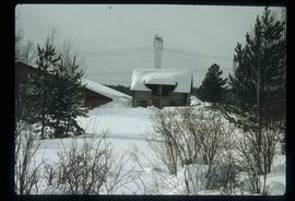
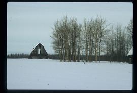
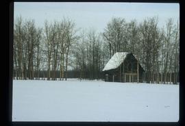
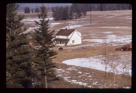
Image depicts Pineview on Buckhorn Lake Road, Prince George, B.C.
Image depicts Pineview on Buckhorn Lake Road, Prince George, B.C.
Image depicts Pineview on Buckhorn Lake Road, Prince George, B.C.
Image depicts a house at an unknown location. It is possibly an old, Australian styled home.
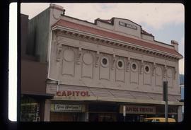
Image depicts an old theatre owned by Paul Aivazoff in Prince Rupert, B.C. It opened in 1935 and was closed in 1981; it has since been renovated for retail use.
Image depicts a condominium, possibly in Prince Rupert, B.C.
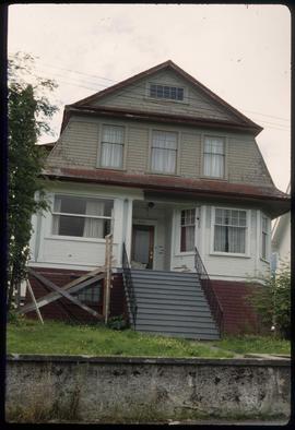
Image depicts a house which is possibly in Prince Rupert, B.C.
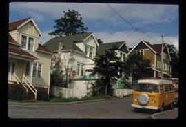
Image depicts a row of houses; it is possibly in Prince Rupert, B.C.
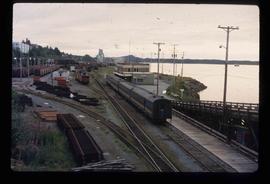
Image depicts the rail yards in Prince Rupert.
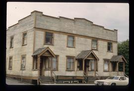
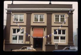
Image depicts an old building with a sign labelling it as a "Dining Lounge," it is possibly in Prince Rupert, B.C.
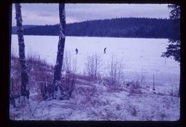
Image depicts Bobtail Lake.
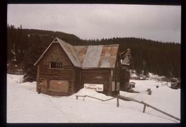
Image depicts the historic Lightening Inn in Stanley, B.C.
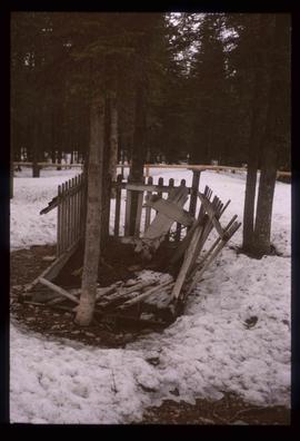
Image depicts an old, rotting grave marker in the Stanley Cemetery.
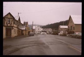
Image depicts a street in Wells, B.C. The Wells Hotel is present in the image.
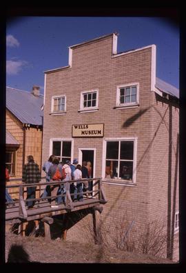
Image depicts the Wells Museum in Wells, B.C.
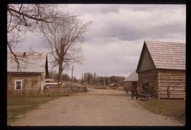
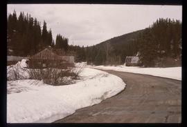
Image depicts the Cariboo Road passing through the Cottonwood House Historic Site.
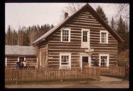
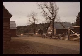
Image depicts the Cottonwood House.
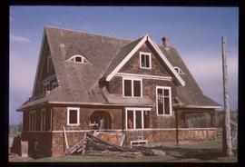
Image depicts the Watson Mansion.
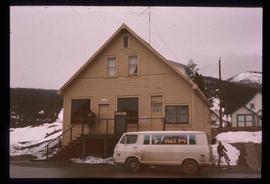
Image depicts the post office in Wells, B.C.
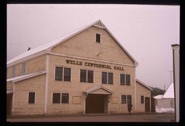
Image depicts the Centennial Hall in Wells, B.C.
Image depicts the town of Stanley, B.C.
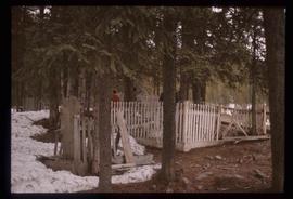
Image depicts the Stanley Cemetery.
Image depicts the Cottonwood House.
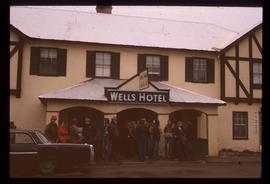
Image depicts a crowd of people outside the Wells Hotel in Wells, B.C.
