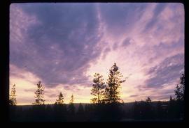
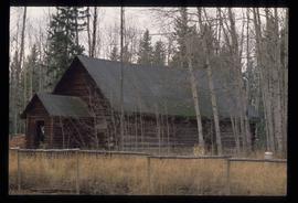
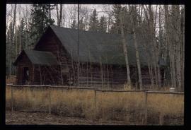
Mostrando 5005 resultados

Archival description
3026 resultados con objetos digitales Muestra los resultados con objetos digitales
Tabor Mountain
2012.13.1.3.068 · Item · Nov. 1979
Parte de J. Kent Sedgwick fonds

Image depicts a view of Prince George, from Gunn Point in the L.C. Gunn Park.

From Cutbanks
2012.13.1.3.005 · Item · Apr. 1972
Parte de J. Kent Sedgwick fonds

Image depicts the Fraser River from the vantage point of the cutbanks in Prince George, B.C.

Sky
2012.13.1.3.004 · Item · Jan. 1971
Parte de J. Kent Sedgwick fonds

Image depicts the sky at either dusk or dawn, from an unknown location.

Tabor View
2012.13.1.3.003 · Item · Oct. 1970
Parte de J. Kent Sedgwick fonds

Image depicts a view of Tabor Mountain in Prince George, B.C.

Fraser River
2012.13.1.3.002 · Item · Oct. 1970
Parte de J. Kent Sedgwick fonds

Image depicts the Fraser River from Northwood Road in the Prince George area.

Logging
2012.13.1.3.043 · Item · Nov. 1977
Parte de J. Kent Sedgwick fonds

Image depicts an area undergoing logging somewhere in Prince George, B.C.

Powerline
2012.13.1.3.037 · Item · Nov. 1977
Parte de J. Kent Sedgwick fonds

Image depicts power lines east of the pulp mills in Prince George, B.C.

Agriculture
2012.13.1.3.036 · Item · Nov. 1977
Parte de J. Kent Sedgwick fonds

Image depicts an agricultural field, most likely near Prince George, B.C.

Sprawl
2012.13.1.3.026 · Item · Oct. 1975
Parte de J. Kent Sedgwick fonds

Image depicts a few houses, most likely near the airport in Prince George, B.C.

Farmhouse
2012.13.1.3.012 · Item · Apr. 1972
Parte de J. Kent Sedgwick fonds

Image depicts a farmhouse on Old Summit Road in Prince George, B.C.