2008.2.1.034
·
Item
·
29 May 1942
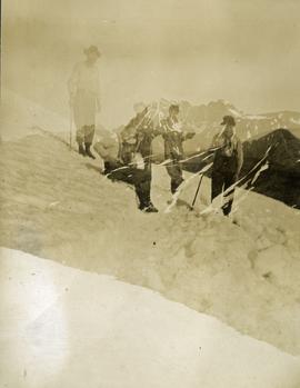
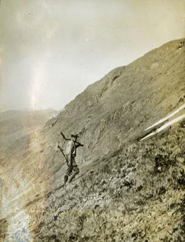
Part of Northern BC Cartographic Collection
Accompanied by a 1942 job estimate cost summary sheet for the "Survey railway location west of Fairbanks" work to be done for the Alaska Western Railway project approved by a Colonel of the U.S. Army Corps of Engineers.