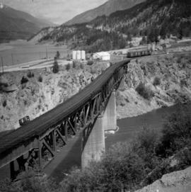
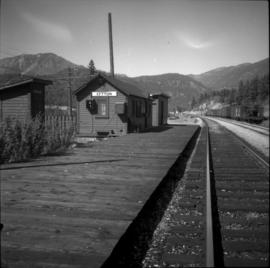
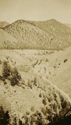
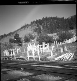
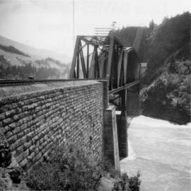
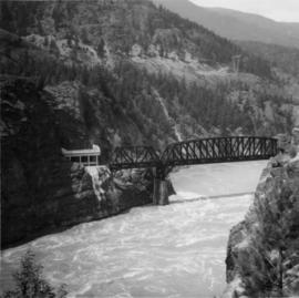
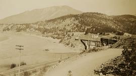
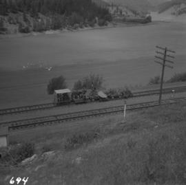
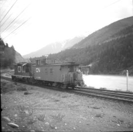
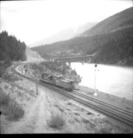
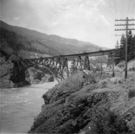
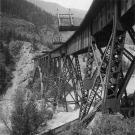
Photograph depicts the town of Lytton in October 1936.
Photograph depicts a rail bridge carrying the C.N.R. track over the Thompson River at Lytton, BCThe bridge is at the confluence of Fraser River and Thompson River. View looking north.
Photograph depicts the Lytton CPR depot in the Fraser Valley. The view is looking north and upgrade.
In 1936, Gordon Young Wyness was employed by Philip M. Monckton, a B.C. Land Surveyor. Between June 5 and October 8, Wyness joined Monckton and a group of others on a land survey expedition in northwestern BC. The survey crew travelled to various locations in the area including Telkwa, Hazelton, Burns Lake, Francoise Lake, Vanderhoof, Prince George, Quesnel, Lytton, and Hope. Wyness documented their journey in this photograph album. Based on the photographs, it appears that the crew led by Philip Monckton consisted of Jack Lee and Gordon Wyness; Mrs. Lavender Monckton (nee O'Hara) also accompanied the group.
In addition to the 50 photographs included in the album, this collection also includes five additional unique photographs that accompanied the album.
Wyness, Gordon YoungPhotograph depicts the Ponderosa Pine and bunch grass dry biogeoclimatic zone near Lytton in October 1936.
Photograph depicts the Ponderosa Pine and bunch grass dry biogeoclimatic zone near Lytton in October 1936.
Photograph depicts the crumbling CPR stock yard at Lytton in the Fraser Valley.
Photograph depicts Cisco Bridge that spanned the Fraser River 36 miles below Lytton in Fraser Canyon. It was believed to be the origininal bridge that was built with under slung girders.
Photograph depicts Cisco Bridge that spanned the Fraser River 36 miles below Lytton in Fraser Canyon. A power line in the background was just being erected from the Peace River Dam.
Photograph depicts the confluence of the Fraser and Thompson Rivers at Lytton. Wyness originally misnoted the location as Lillooet, BC.
Photograph depicts the Canadian National Railway (CN) permanent way gang at Lytton, about 100 yards north of the depot. The Fraser River is in the background.
Photograph depicts a caboose at the end of a contractor's gear train. This train was being hauled one mile south to Winch Spur where loads were removed from flat cars.
Photograph taken at the southern end of the Lytton yard limits. The visible rail bridge carries a protected pedestrian footpath on its northern trusses.
Photograph depicts Cisco Bridge, that crossed the Fraser River in Fraser Canyon. Looking upstream with CPR track in the lower right of the photo. 200 yards behind this photo, the CPR tack crossed the Fraser River to the west bank.
Photograph depicts Cisco Bridge that crossed the Fraser River 36 miles below Lytton in Fraser Canyon.