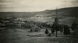
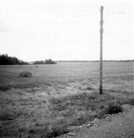
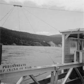
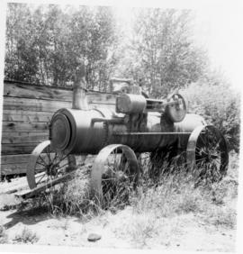
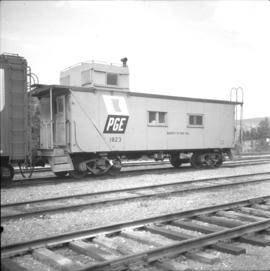
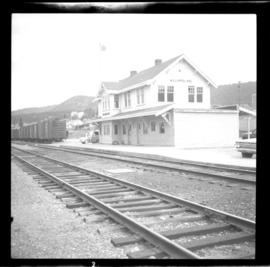
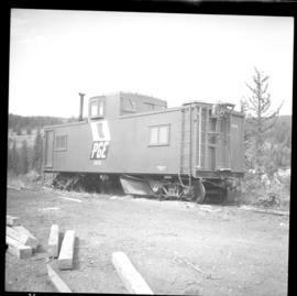
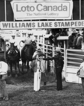
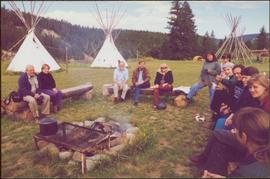
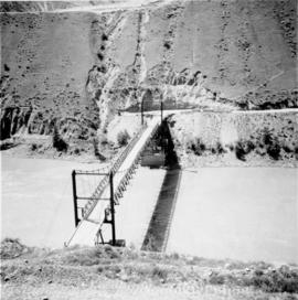
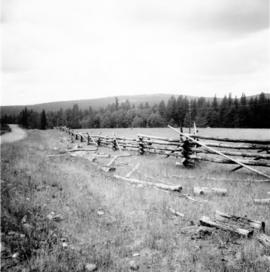
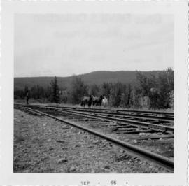
Photograph taken on the Williams Lake to Bella Coola road.
Image depicts the St. Joseph's Mission in Williams Lake, B.C.
Image depicts an aerial view of Williams Lake, B.C.
Image depicts a view of Williams Lake, B.C.
Image depicts an aerial view of Williams Lake, B.C.
Photograph depicts a view of the community of Williams Lake, taken from the Chilcotin Road to the west.
Photograph depicts a telegraph line on the Williams Lake to Bella Coola road.
Photograph depicts the Soda Creek reaction ferry.
Photograph shows a portable engine at Gang Ranch on the Fraser River. The engine was made by Robert Bell Engine and Thresher Company, Seaforth, Ontario.
Photograph depicts a caboose and flanger car #1823.
Photograph depicts the Pacific Great Eastern line through Williams Lake.
Photograph depicts a caboose and flanger car #6016
Photograph depicts horses beside track about 300 yards south of the passenger depot in Williams Lake.
Item is a photograph of Mr. Williston and Premier W.A.C. Bennet with two other gentlemen at the official opening of the provincial Government Building in Williams Lake.
Image depicts the Onward Ranch near Williams Lake, B.C.
Image depicts a stretch of land from Highway 97 near Williams Lake, B.C.
Image depicts an aerial view of some scenery near Williams Lake, B.C. The highway and BCR tracks are visible among the trees.
Image depicts an aerial view of a stretch of power lines somewhere near Williams Lake, B.C.
Photograph depicts MLA Grace McCarthy speaking into a CKWL microphone at the Williams Lake Stampede.
Image depicts a number of houses at an uncertain location, possibly Williams Lake, B.C.
Image depicts an aerial view of the Williams Lake Airport along Highway 97, just north of Williams Lake, B.C.
Image depicts an aerial view of Highway 97 just north of Williams Lake, B.C.
Photograph depicts (from left to right) Gordon Wyness, Philip Monckton, and Lavender Monckton by their 1930 Buick Series 40 car in the Williams Lake area. In this image, the car may be broken down; Wyness noted that they "were forced to spend the nite in a school house due to condenser burning out in the car". Wyness also noted that they had "just finished tying in Fraser Mtn", suggesting that they had just completed survey work in the Fraser Mountain area.
Image depicts an aerial view of the Gibraltar mine site's pits and waste dumps, north of Williams Lake, B.C.
Image depicts a loading truck at the Gibraltar mine site north of Williams Lake, B.C.
Image depicts a number of workers putting in blasting powder at the Gibraltar mine site north of Williams Lake, B.C.
Image depicts an 80 tonne truck full of rocks at the Gibraltar mine site north of Williams Lake, B.C.
Image depicts the Gibraltar mine site north of Williams Lake, B.C.
Image depicts a bridge over the Fraser River, located at Chimney Creek, somewhere south-west of Williams Lake, B.C.
Left to right: Charles Jago and unidentified woman, David Fish, Dennis Macknak, Deborah Poff, unidentified woman and child, Iona Campagnolo, Lee Morrison, Ellen Facey, two unidentified women. Teepees visible in background. Photograph was taken during the chancellor's tour of Xats'ull Heritage Village, Soda Creek First Nation, Williams Lake, B.C.
Two unidentified woman are also visible with the group, on far left and in centre with arm raised. Young girl sits on post in foreground. Photograph was taken during the chancellor's tour of Xats'ull Heritage Village, Soda Creek First Nation, Williams Lake, B.C.
Unidentified women stands in centre background with arm raised, and a young girl sits on post in foreground. Photograph was taken during the chancellor's tour of Xats'ull Heritage Village, Soda Creek First Nation, Williams Lake, B.C.
Handwritten annotation on verso reads: "UNBC 1992".
Unidentified women stands in centre background with arm raised, and a young girl sits on post in foreground. Photograph was taken during the chancellor's tour of Xats'ull Heritage Village, Soda Creek First Nation, Williams Lake, B.C.
Unidentified woman stands third from right, with arm raised. Photograph was taken during the chancellor's tour of Xats'ull Heritage Village, Soda Creek First Nation, Williams Lake, B.C.
View from above; unidentified woman also visible with the group. Photograph taken during the chancellor's tour of Xats'ull Heritage Village, Soda Creek First Nation, Williams Lake, B.C.
Image depicts the Cariboo Road south of Williams Lake.
Photograph depicts a cabin near Williams Lake. Its interior contained two old treadle sewing machines and a chesterfield. Davies had the impression it had not been inhabited for at least a decade.
Photo depiicts a bridge over the Fraser River, south of Williams Lake. It was in poor condition, but was being prepared by the Department of Highways. The bridge was taken on the Gang Ranch public road, and led to the ranch and its uninhabited hinterland.
Photograph depicts a BCR track trolley.
Photograph depicts the yards in Williams Lake. Image captured on the new overpass that was being constructed at the time.
Photograph taken in Williams Lake. A Vancouver bound passenger train on BC Rail (former Pacific Great Eastern) track is visible.
This fonds illustrates the writing career of Canadian author Ann Walsh. Types of records included in this fonds include: published and unpublished short stories, manuscripts, correspondence, grant applications, photographs, audio and video recordings, contracts, book reviews, plotting notes, speaking notes, promotional materials and workshop materials.
Walsh, Ann