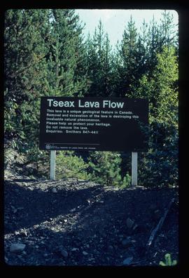
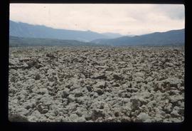
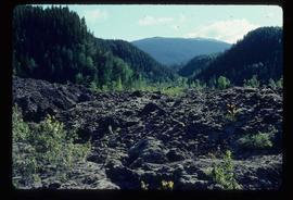
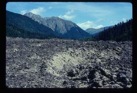
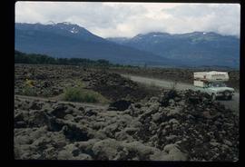
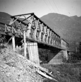
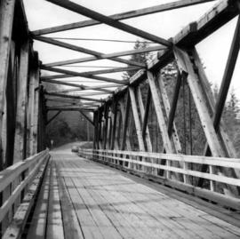
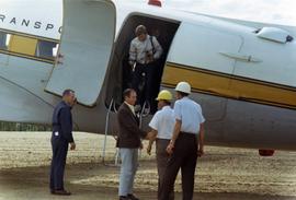
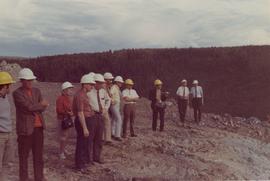
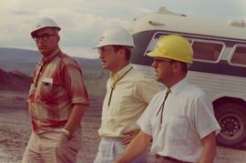
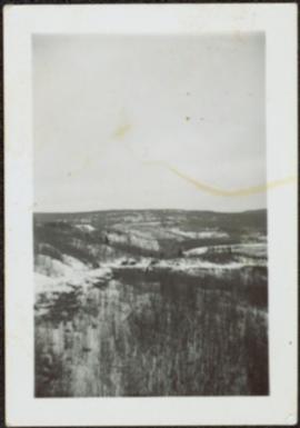
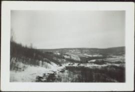
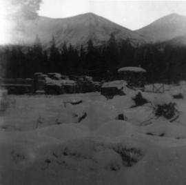
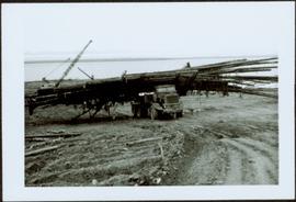
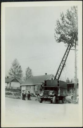
Hand coloured photograph of the surrounding lands and many residential buildings encompassing the Tsimshian village of Lax Kw'alaams (previously called Port Simpson). Printed annotation on recto reads: "Indian Village, Port Simpson, B.C."
Photograph of three Tsimshian mortuary poles. Two crossed logs rest atop the three poles. Annotation on recto reads: "Indian Mortuary Poles Nr Prince Rupert BC McRae Bros."
Image depicts two unknown individuals at the Tsilcoh Falls, north of Fort St. James and somewhere near Pinchi Lake Road.
Image depicts the Tsilcoh Falls, north of Fort St. James and somewhere near Pinchi Lake Road.
Image depicts the Tsek'enhe cemetery at McLeod Lake.
Image depicts the Tseax River.
Image depicts the Tseax Lava Flow, looking up valley.
Image depicts a stream running through the Tseax lava flow.
Image depicts a sign at the Tseax Lava Flow asking people to not remove lava from the site.
Image depicts a shallow river running over and through the Tseax lava flow.
Image depicts the Tseax Lava Flow. The slide is labelled "pressure ridges."
Image depicts what appears to be a small pond near the Tseax lava flow.
Image depicts old lava cliffs and the Tseax Lava Flow in Nisga'a Provincial Park, near New Aiyansh, B.C.
Image depicts the Tseax Lava Flow, with mountains in the distance.
Image depicts Kent Sedgwick standing in a drainage tunnel of the Tseax Lava Flow.
Image depicts an unknown individual standing on the Tseax Lava Flow.
Image depicts the Tseax Lava Flow.
Photograph depicts a truss bridge over the Salmon River near Kelsey Bay, North Vancouver Island.
Photograph depicts truss bridge over Lois River looking north. Bridge is about 2-4 miles north of Saltery Bay, leading to Powell River.
Image depicts truncated spurs somewhere near McBride, B.C.
Photograph depicts Prime Minster Pierre Trudeau shaking hands with two men upon arrival in Cassiar.
Photograph of Prime Minster Pierre Trudeau standing with a group of men looking over the Cassiar valley. Trudeau stands in the middle wearing a yellow shirt.
Photograph of Prime Minster Pierre Trudeau standing with two other men at the Cassiar Mine.
Photograph depicts men and haul trucks visible in distance on snowy road in tree-covered hills.
Photograph depicts five trucks and Eimco loader in snow-covered campsite. Photo taken facing south, forest and snow-covered mountains in background.
Photograph depicts a red semi truck transporting packaged asbestos.
Handwritten annotation on recto of photograph: "MINE DRY ON LEFT". Photograph was glued to cardboard backing with the annotation: "1962".
Gravel road in foreground, mountain in background. Sign over road reads: "CAUTION TRAMLINE CROSSING".
Item is a photograph of a truck hauling logs from the shores of a lake.
Photograph depicts an old truck that was found besides a logging yard and CNR trackage.
Photograph depicts a truck carrying asbestos on a winter road.
Photograph depicts a truck at the Teepoortens Truck and Equipment Rentals Ltd., located at 950 West 6th Ave. in Vancouver, BC
Photograph depicts a group of men standing to right of large truck, houses in in background. Boom of crane visible between truck and houses. Trees and power lines also visible.
Photograph depicts the one and only service station that was in Trout Lake City. It had manual pumps as there was no distributed electricity in the village.
Photograph depicts the Trout Creek CPR bridge near Summerland, about 9 miles north of Penticton. It is about 620 ft. long and the creek is 240 ft. below it. It was part of the Kettle Valley Railway.
Photograph depicts the Trout Creek CPR bridge near Summerland, about 9 miles north of Penticton. It is about 620 ft. long and the creek is 240 ft. below it. It was first crossed by the Chief Engineer's train on October 25, 1913. The view is looking south east.
Photograph depicts Trout Creek Bridge of the KVR.
Image depicts numerous skiers at the cabin located at Troll Lake on Tabor Mountain in Prince George, B.C.