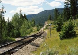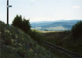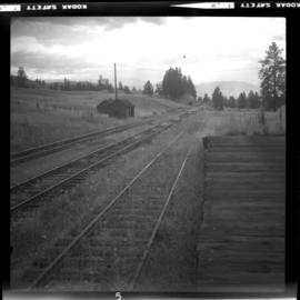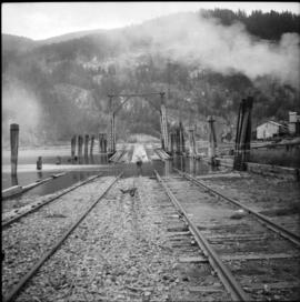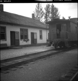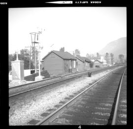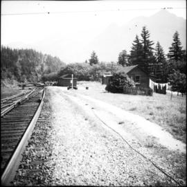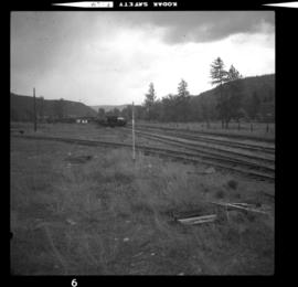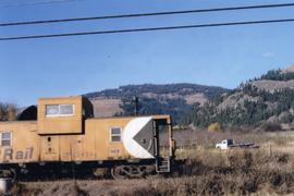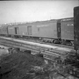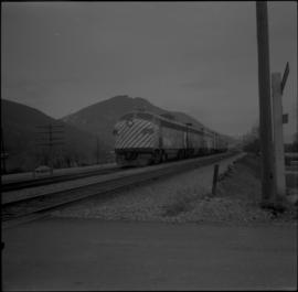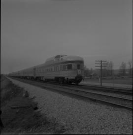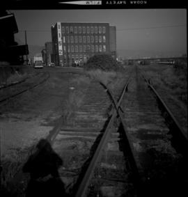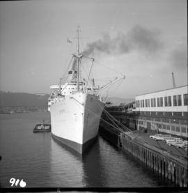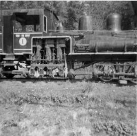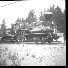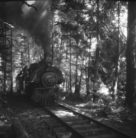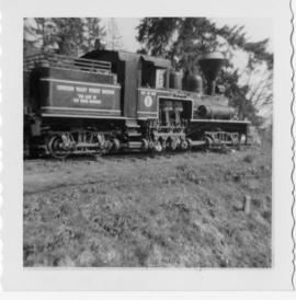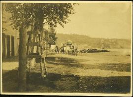
2013.6.36.1.155.13
·
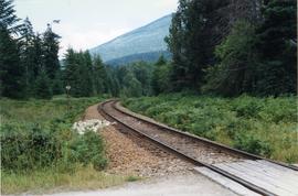
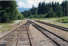
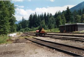
Item
·
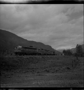
[July 1988]
Part of David Davies Railway Collection
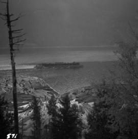
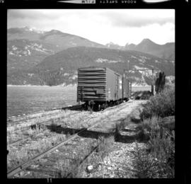
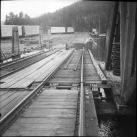
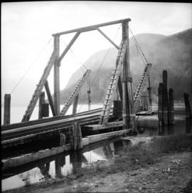
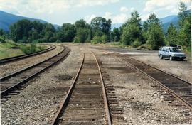
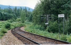
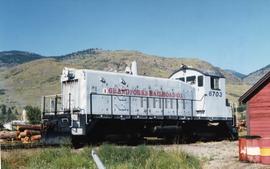
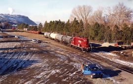
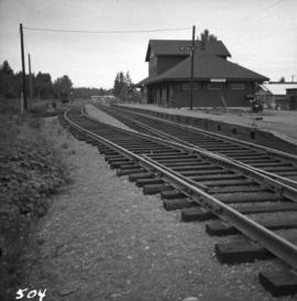
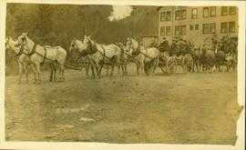
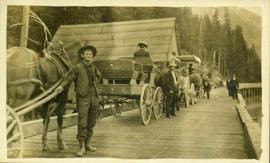
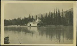
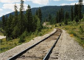
Photograph taken about halfway between Summerland and Princeton.