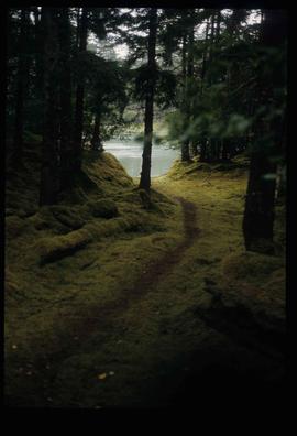
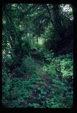
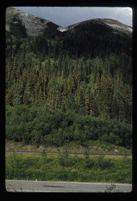
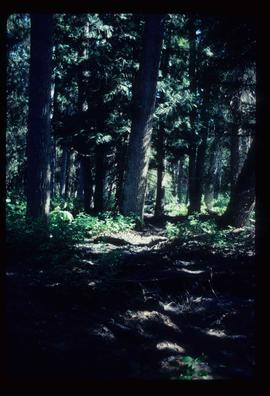
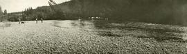
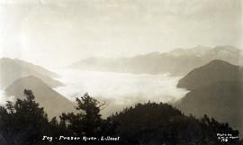
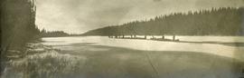
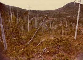
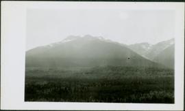
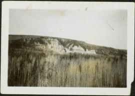
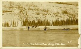
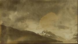
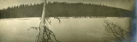
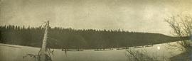
Image depicts a view of a forested valley in the mountains somewhere along the White Pass railway.
Image depicts a view of a forested, mountainous area and a river, somewhere along the White Pass railway. The slide is labelled "begin climb," suggesting the image was taken at the beginning of the White Pass Train's ascent into the mountains.
Image depicts a forested mountain side somewhere along the White Pass railway. The thin ridge along the mountain side is possibly either a highway or part of the railway.
Image depicts a trail through the forest somewhere on Haida Gwaii.
Image depicts a trail through the forest somewhere in or near Seton Portage, B.C.
Image depicts a forested mountain side somewhere near Murray Ridge.
Image depicts a forested area located somewhere near the Tseax Lava Flow.
Item is a photograph of a forested area southwest of Chittagong, Bangladesh close to the border with Burma.
Image depicts a group of trees in the Cottonwood Park, with a sign which reads: "This is the primary plantation for the 'Forest for the World' project. These trees were planted on August 5, 1985, commemorating Prince George's 70th birthday by the citizens of Prince George & Expo 86'."
Photograph depicts the location of the proposed powerhouse on Klemtu Lake.
Image depicts a view of a forest and river somewhere along the White Pass railway. The thin line in the mountain side is possibly a highway.
Item is a photograph of a forested area with a partially frozen river, exact location unknown.
Photograph depicts mountain range in distance, forest in foreground. Area speculated to be near Atlin, B.C.
Photograph depicts thick forest in foreground, cliffs in distance.
Image depicts a forest, possibly somewhere near Woodpecker, B.C.
Image depicts a few unknown individuals walking through the forest at Cheslatta.
Image depicts a forest somewhere on Haida Gwaii.
Image depicts a forest, possibly somewhere near Woodpecker, B.C.
Image depicts a view of the forest in the Fort George Canyon Provincial Park, B.C.
Photograph of several men traveling across a river. Printed annotation on recto reads: "Fording The Nelson River Going to the Naas #93."
Photograph depicts three men and a dog on the streambank, several horses loaded with packs on the opposite bank.
Image depicts an esker at the Foothills Boulevard in Prince George, B.C.
Image depicts a narrow footbridge suspended over a river at an uncertain location.
Image depicts what appears to be a footbridge at an uncertain location.
Image depicts a camp at the foot of Isaac Lake.
Image depicts the foot of Indianpoint Lake.
Photograph depicts a view of fog over the Fraser River in the Lillooet area.
Image depicts the Flying U Ranch at 70 Mile House, B.C.
Typed annotation on recto: "Rainbow Trout fishing (Fly fishing) Tachi River - Stuart Lake, B.C." Two men fishing in a canoe with rope tied to another object, and one fish caught in net. Trees on shore in background.
Handwritten annotation on verso reads: "Nass River canyon at flood water". A building is visible on shore in distance, and mountains can be seen in background.
Image depicts a flooded area with an old sawdust pile in the background. Likely near McGregor, B.C.
Image depicts numerous tree logs floating on a body of water. The location is uncertain, but is likely Eaglet Lake.
Image depicts some power lines and a forest somewhere near Birken, B.C.
Photograph depicts five totem poles of various sizes in a fenced enclosure with a forested area in the background. Photographer’s stamp on verso: “W.E. Nicholson, 268 E. 10th, Vancouver 10, B.C.”
Image depicts five unknown individuals somewhere near Mt. Robson.
Photograph depicts view of snow capped mountains possibly near Stewart B.C.
Photograph depicts five long canoes with several men attending. The canoes are traveling through a narrow strip of open water. The majority of the river is covered in ice. Forested trees are on the far river shore.
Photograph depicts a view from behind five canoes making their way through a narrow strip of open water. Ice and snow on the edges of the river.
Image depicts two individuals fishing in a canoe on McCleary Lake. The slide is also labelled "dolly," likely meaning the fish in the net is a Dolly Varden trout.
Photograph depicts two men sitting in a large, possibly, cottonwood canoe. One man stands while holding a fishing pole. This is near the edge of a small river or large creek.
Tugboat appears to be towing a long line of small boats.
Handwritten annotation on verso reads: "Fishing fleet coming home Nass River B.C."
Photograph of many fishing boats in a harbour. Printed annotation on recto reads: "Fishing Boats Unloading at Prince Rupert, B.C."
Typed annotation on recto: "Fishing action - Stuart Lake, B.C." Two men fishing in a canoe, with one fish caught in net. Hillside in background. It is speculated that the seated man with fish may be Vivian Grey.
Image depicts two youths fishing from the bank of the Nechako River on Cottonwood Island.
Image depicts a few unidentified individuals fishing in a river at an uncertain location.
Image depicts numerous boats docked by a buildings identified as the "Prince Rupert Fishermen's Co-operative Association."