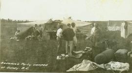
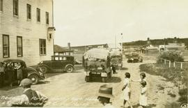
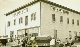
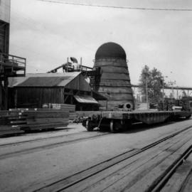
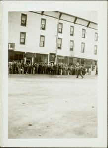
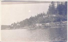
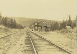
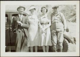
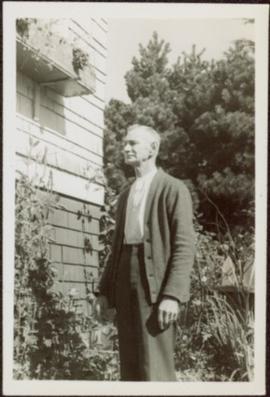
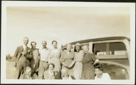
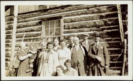
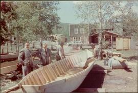
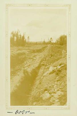
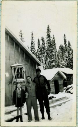
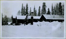
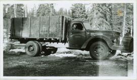
Annotation on recto: "Bedeaux's Party camped at Gundy, B.C." Photograph depicts tents men standing amongst tents and supplies.
Annotation on verso: "Bedeaux's Party leaving Hart Hotel and Pouce Coupe, B.C. for North"
Annotation on verso: "Pouce Coupe, B.C."
Image depicts an esker at Bednesti Lake, B.C.
Image depicts a man in a yellow cap who appears to be blowing smoke into a bee colony at a bee farm. It appears to be an educational demonstration.
Image depicts a bee-hive burner beside a rail-road track at an unidentified mill somewhere in Prince George, B.C.
Image depicts a beehive burner, as well as rail road tracks, at an unknown location.
Image depicts a Beehive Burner along the Nechako on River Road. Map coordinates 53°55'34.1"N 122°44'58.0"W
Image depicts a Beehive Burner along the Nechako on River Road. Map coordinates 53°55'34.1"N 122°44'58.0"W.
Photograph depicts a beehive burner at Brownsville Sawmills Ltd. On Olson St. in south Westminster, Surrey. It is on the banks of the Fraser River just below the Patullo Bridge.
Image depicts a Beehive Burner along the Nechako on River Road. Map coordinates 53°55'34.1"N 122°44'58.0"W
Photograph depicts large group of men gathered outside large building with the sign "WHITEHORSE GRILL".
Handwritten photo album caption below this photo reads: "Dawson Creek BC / 1943 Beer Ration Day".
Foreground shows two rocky shores covered in dirt and wood debris, connected by a barely visible bridge. Annotation on recto reads: "Before the Blast Apr. 24th 13"
Photograph depicts the downtown area in which prior to 1998, the CNR had a loop. It ran west beside Clement and after crossing over Ellis, turned north for a couple of blocks, then turned east, back over Ellis, and along Recreation Street and Weddell.
Photograph depicts a shallow ditch cut into rocky terrain that leads through a forested landscape.
Photograph depicts a church and unidentified building with a large fenced yard in the foreground. Annotation on verso of photograph states: "Bella Bella Church"
Photograph depicts the interior of a church decorated with white streamers. Annotation on verso states: "Canada, B.C., Indian(?) Bella Bella Church decorated for Christmas by Indian "decoration""
Photograph depicts a First Nations cemetery built on a rocky shoreline.
Image depicts Bellos Road, most likely in Red Rock, B.C.
Photograph depicts Belmont Park Fort on the west side of Esquimalt Harbour. It was built by the British Royal Engineers in 1895 to protect the naval base. Photo shows the lower fort with 2 gun emplacements.
Photograph depicts the entrance to the magazine feeding gun emplacement in the lower fort of Belmont Park Fort in Esquimalt Harbour.
Photograph depicts one of the 2 gun emplacements in the lower fort of Belmont Park Fort protecting Esquimalt Harbour.
Photograph depicts the one and only gun emplacement in the upper fort of Belmont Park Fort protecting Esquimalt Harbour.
Item is a photograph of the beltway used to carry aggregate to the Dam site.
A bentwood box sitting on a pedestal in front of a bookcase in the office of W.E. Collison. Handwritten annotation in pencil on verso reads: “Carved ‘hope chest’ sent to New York. The box was carved by -- Luke Watson Skidegate. The photo was taken in the office – not bad for a --”
Two carved wooden bentwood boxes; one containing seven carved wooden spoons. Handwritten annotation in pen on verso reads: “W.E. Collison.” Stamped annotation on verso reads: “Department of Mines and Resources, Photographic Section. Oct. 6, 1939”. Numeric annotation on verso: “49-5”
Image depicts the Berg Glacier at Berg Lake in the Mt. Robson Provincial Park.
Image depicts the Berg Glacier and Berg Lake near Mt. Robson.
Group of four leans against car. Bert & Sarah Glassey stand to left of unknown woman and man, field and hillside in background.
Glassey stands among plants to right of house, trees in background.
Group of eleven men and women stands and sits in front of car. Glassey stands on far left, field and hill in background. Similar group also featured in items 2009.5.2.274 - 2009.5.2.294.
Group of eleven men and women stands and sits in front of log building. Woman on far left holds infant, Glassey stands on far right. Similar group also featured in items 2009.5.2.274 - 2009.5.2.294.
Item is a photograph of Bert Leboe, MP for Peace River, watching the construction of a trading boat traditionally used in the Peace / Parsnip area. These boats were used to conduct surveys and transport supplies during the construction of the W.A.C. Bennett Dam.
Photograph depicts a cut ditch into tertiary gravel, with a wooden mining (?) structure and a forest landscape in the background.
Handwritten caption beside this photo reads: "Bert and Kitchen Staff". Photograph depicts Bert (Youngstrom?) standing close to a woman and young girl on snow in front of unidentified buildings. Forest trees can be seen in background. It is believed that this photo was taken at the camp in Summit Lake, B.C. (see item 2005.3.57).
Photograph depicts Bert Youngstrom leaning on one of two gas pumps in front of three long buildings. Trees can be seen in background, as well as snow all around. Steel drums an other miscellaneous material surround the buildings. Handwritten captions above and beside this photo read: "Bert Youngstrom" "Shop & Warehouse".
Photograph depicts a hauling truck in wood clearing. Bert Youngstrom can be seen sitting on the passenger side behind a door with "CAMPBELL CONSTRUCTION CO LIMITED" on its side. Handwritten caption beside this photo reads: "Bert Youngstron [sic?]".