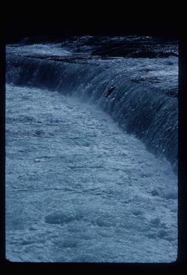
2012.13.1.60.14
·
Item
·
July 1973
Part of J. Kent Sedgwick fonds
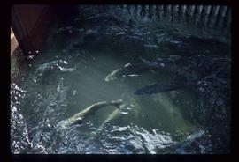
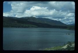
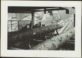
Image depicts the McLeod River in Carp Lake Provincial Park.