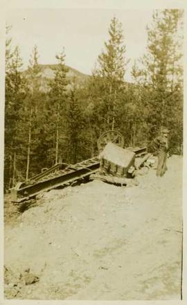
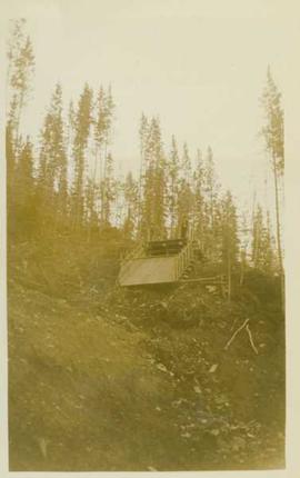
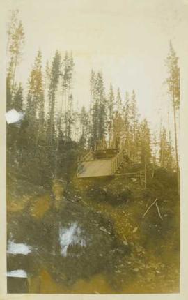
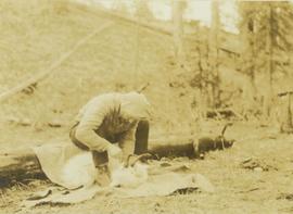
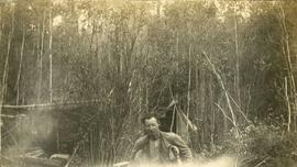
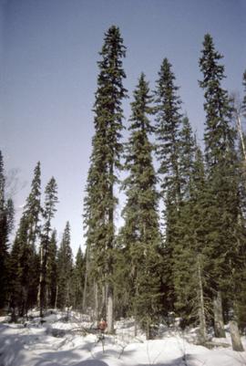
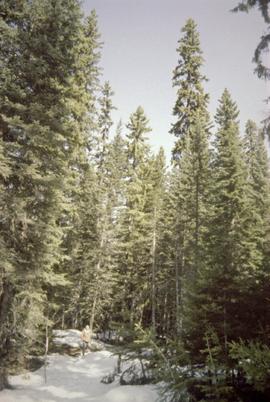
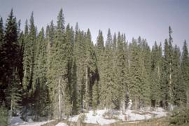
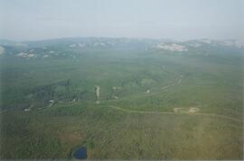
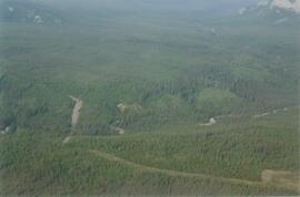
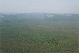
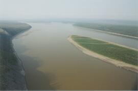
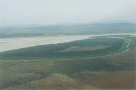
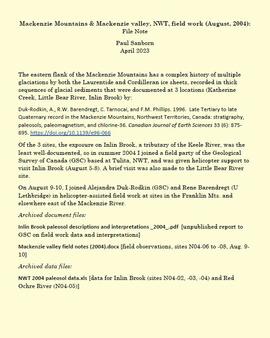
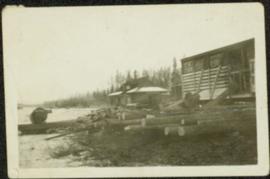
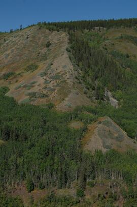
Photograph depicts an unidentified man standing beside dismantled pieces of mining equipment, in the background is a forested landscape.
Photograph depicts an unidentified man standing beside a ditchline filled with water.
Photograph depicts an unidentified man standing at the top of water-filled ditchlines and holding onto surveying (?) equipment.
Photograph depicts an unidentified man standing at the top of an empty wooden flume (?) situated at the top of a mountainside in front of a forested landscape.
Photograph depicts an unidentified man sitting on a log skinning a goat that is laying on a blanket in front of him.
Photograph depicts one man seated in rear of canoe on still water. Trees on opposite shore in background. This man is believed to be a member of the Bourchier forestry crew.
Photograph depicts a man using crutches, this person wears glasses. There is a forest in the background.
Photograph depicts a man in a fishing boat in front of a line of fishing boats being towed by a tug boat on the water with the base of a mountain in the background.
Photograph depicts a man bathing himself while standing in a small metal tub. Photograph description in album notes this as "His 'Semi Annual'" [bath]. On the left is a log structure, presumably a cache building. A large clearing surrounds the building and bathing man. There is a forest and bluff in the background. Possibly located near Giscome Portage.
Photograph depicts a man sitting on a truck that is transporting logs at Peden Hill Sawmill.
Photograph shows Aleza Lake Research Forest in spring season.
Photograph a man standing in the Aleza Lake Research Forest in spring season.
Photograph depicts six sled dogs and three men standing beside a loaded two horse wagon on a forest road.
Photograph depicts a view of main street Grand Forks BC.
Photograph depicts a view of main street Grand Forks, BC. There are power poles in the center of the photograph, buildings line the street
Photograph depicts a view of main street Grand Forks, BC.
Photograph depicts a billboard size sign on the side of a building in Grand Forks BC.
Photograph depicts a view of main street Grand Forks, BC.
Photograph depicts a group of men standing near a building with the sign, "James Reid Ltd. General Merchants". There are a few fences and buildings in the background.
This born-digital document consists of field observations for Mackenzie Valley sites N04-06 to -08, Aug. 9-10.
Photograph depicts the Mackenzie Valley and the Franklin Mountains.
Photograph depicts the Mackenzie Valley and the Franklin Mountains. Pipeline is visible.
The eastern flank of the Mackenzie Mountains has a complex history of multiple glaciations by both the Laurentide and Cordilleran ice sheets, recorded in thick sequences of glacial sediments that were documented at 3 locations (Katherine Creek, Little Bear River, Inlin Brook) by:
Duk-Rodkin, A., R.W. Barendregt, C. Tarnocai, and F.M. Phillips. 1996. Late Tertiary to late Quaternary record in the Mackenzie Mountains, Northwest Territories, Canada: stratigraphy, paleosols, paleomagnetism, and chlorine-36. Canadian Journal of Earth Sciences 33 (6): 875-895. https://doi.org/10.1139/e96-066
Of the 3 sites, the exposure on Inlin Brook, a tributary of the Keele River, was the least well-documented, so in summer 2004 Dr. Paul Sanborn joined a field party of the Geological Survey of Canada (GSC) based at Tulita, NWT, and was given helicopter support to visit Inlin Brook (August 5-8). A brief visit was also made to the Little Bear River site.
On August 9-10, Sanborn joined Alejandra Duk-Rodkin (GSC) and Rene Barendregt (U Lethbridge) in helicopter-assisted field work at sites in the Franklin Mountains and elsewhere east of the Mackenzie River.
File contains various correspondence regarding 1964 annual cuts for sawmills in the area, memoranda consisting of various administrative issues such as the 1973 amalgamation of Purden Lake and Aleza Lake, and the sale of lumber previously infested by spruce beetles. File also contains 1972 applications to purchase Crown timber and road use, as well as 1966 logging permits.
Photograph depicts pile of cut logs in right foreground, unknown building and forest in background. Logs lie in front of what appears to be a large freight box.
This born-digital "Lucille Mountain soils" document provides a description and basic data for the Lucille Mt. pedon.