Annotation on slide: "Basal scarring on Douglas fir, Summit Lake".
No annotation on slide.
Annotation on slide: "Light residual basal area, Summit Lake, Summer '92, Jull".
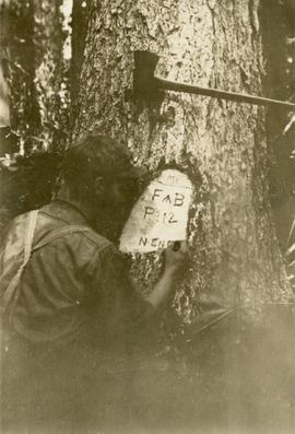
Original photographic print included in "Northern Interior Forest Experiment Station: Report of Preliminary Investigations" by Percy Barr. Marked plot reads: "F ^ B, Plot No. 112, North End".
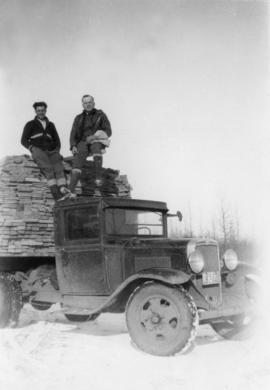
Photograph depicts two men perched on top of a freight truck carrying a load of timber at Peden Hill sawmill.
Item is a photograph of a copy print, resulting in a low quality photographic reproduction. Reproduced as a print, slide, and a negative. Location of original photograph is unknown.
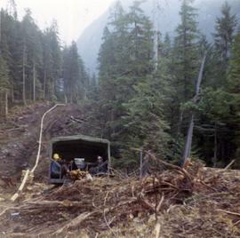
Photograph depicts workers sitting in the back of a truck at the construction site for the Pacific Northern Gas pipeline from Summit Lake to Kitimat.
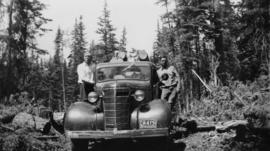
Photograph depicts two men on a 'Maple Leaf' Chevrolet truck's running board in an active logging area near Peden Hill sawmill. The truck is hauling raw logs. The man at the right of photograph is Cornel Neronovitch.
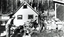
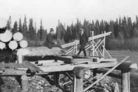
Photograph depicts two men on a log deck, possibly at Peden Hill sawmill.
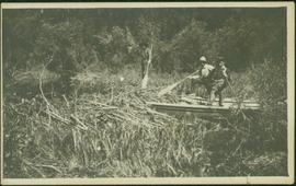
Photograph depicts three men standing with oars in small boat, forest slash at their feet. More slash lies in foreground behind bushes and plants on swampy shore. Trees in background. These men are believed to be members of the Bourchier forestry crew.
Photograph depicts two men beside the creek below the lake outlet at the proposed site for the hydro power project on Klemtu Lake.
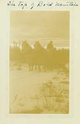
Photograph depicts two men aboard a two horse driven sleigh stopped on a snow covered path. Annotation on recto of photograph states: "The Top of Bald Mountain"
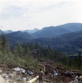
Photograph depicts pipeline construction workers for the Pacific Northern Gas pipeline from Summit Lake to Kitimat with a helicopter on the north end of Prudhomme Lake.
Photograph depicts two men and bulldozer near what appears to be many piles of logs. Unidentified buildings in background.
Photograph depicts two men working with air track drill in mine area. Hose and dynamite box in foreground, mountains in background. Handwritten annotation on verso of photograph: "Sept. 1954." This photograph was originally stored inside duotang labeled "CASSIAR ASBESTOS CORPORATION LIMITED PHOTOGRAPHS 1954"; photo caption beneath this image: "Starting New Bench at South end of Deposit."
Item is "Memorandum regarding Future Logging at Aleza Lake" by F.S. McKinnon.
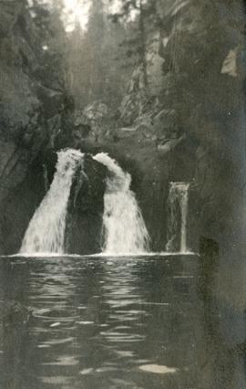
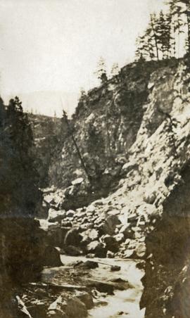
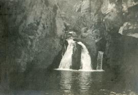
Item is a photograph of a copy print, resulting in a low quality photographic reproduction. Reproduced as a print, slide, and a negative. Location of original photograph is unknown.
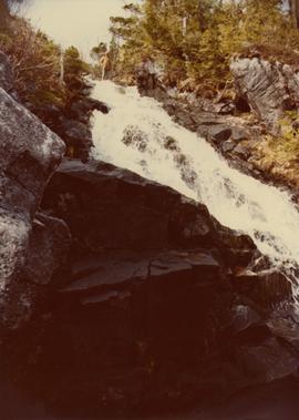
Photograph depicts McRae Creek Falls.
Photograph depicts McRae creek canyon.
Photograph depicts McRae Creek Falls.
During the 1980s, Agriculture Canada pedologists Scott Smith (retired from Summerland Research Station, formerly based in Whitehorse) and Charles Tarnocai (retired from Central Experimental Farm, Ottawa) had a large field program which addressed the trends in soil development in the central Yukon. Across this region, particularly between Whitehorse and Dawson City, the land surfaces and surficial deposits vary greatly in age due to the differing extents of glaciations over the past ~2 million years.
Tarnocai and Smith shared the unpublished data and soil samples from this work with Dr. Paul Sanborn, and this resulted in a student project published as:
Daviel, E., P. Sanborn, C. Tarnocai, and C.A.A. Smith. 2011. Clay mineralogy and chemical properties of argillic horizons in central Yukon paleosols. Canadian Journal of Soil Science 91: 83-93. https://doi.org/10.4141/cjss10067
This data set consists of transcribed data from lab data sheets, showing McQuesten-Dawson City paleosol data from the Tarnocai and Smith 1983 AAFC Yukon Paleosol Study. The data set includes chemical and particle size data for Tarnocai & Smith samples, as determined by the Ag Canada lab. Note that the “Site” column indicates the NTS topographic map sheet (e.g. 115P/13) for the sampling locations.
Forest cover map showing a crossing area of the McGregor River is annotated with a road and ferry crossing.
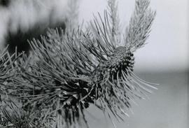
Caption describing photograph: "Maturing 2nd year cones on right, mature non-serrotinous cone with seed dispersed on left."
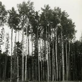
Caption describing photograph: "Frames 8, 9, and 10. Mature stand of Aspen growing on moderately drained Bednesti silt (Sandy silt). Ht 95', 22" DBH. Age 110 years. Excellent form. Mile 11 Hart Highway. Adjacent field has excellent crop of potatoes and timothy."
Item is a copyprint reproduced from the British Columbia Forest Service photographic records held at BC Archives.
Item is a copyprint reproduced from the British Columbia Forest Service photographic records held at BC Archives.
Item is an original issue of British Columbia Forest Service Research Notes on "Marking of Spruce in the Fort George Forest District" by L.A. deGrace, E.W. Robinson, and J.H.G. Smith.
Item is a marking manual compiled by D.R. Glew, Assistant Forester.
No annotation on slide.
No annotation on slide.
Annotation on slide: "Marked-to-cut tree with old scar, Summit selection trial".
Map reflects reserve boundary, roads, trails, 20 feet contour intervals, air photo centre, declination, swamps, and mile post at the Aleza Lake Forest Reserve.
Item is a map that distinguishes the regions covered by Tree Farm Licence No. 1 granted to Columbia Cellulose and Three Farm Licence No. 40 granted to Skeena Kraft. Major locations indicated in this map include: Prince Rupert, Terrace, Hazelton, Smithers, Kitimat, Skeena River, and Nass River. Railway routes are also shown.
Item is a photocopied map of the Aleza Lake area annotated to show transects.
Item is a reproduced map of Aleza Lake annotated to show a 1994 RFP study area.
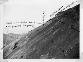
Handwritten annotation below photo on page taped to photograph: "PHOTO #2: Looking N across talus slide of asbestos fibre and serpentine fragments." Handwritten annotation on verso of photograph in blue ink describing sections of photograph which have been pointed to or outlined: "Talus of asbestos fibre & serpentine fragments -->" "Photo #1 -->" "Approx upper contact of serpentine -->".
Item is an original BC Forest Service "Management Manual" that was published circa 1955 and amended many times up to 1973.
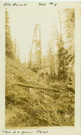
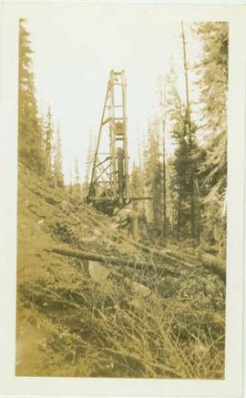
Photograph depicts a man leaning over in front of a tall wooden pile driver in a forest environment. Annotation on recto of photograph reads: "Pile driver sec.#1. This is a gravel point"
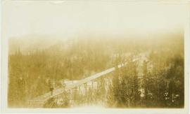
Photograph depicts a man standing in the foreground of the photo on a wooden trestle that leads through a forested landscape. Handwritten annotation on verso reads: "Tressle for carrying flume across Valley of South from Germansen Creek. This is continuous tressle for nearly 2000 feet. Maximum height 54feet."
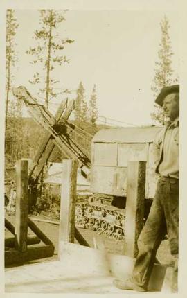
Photograph depicts an unidentified man standing on a wooden road beside a steamshovel in front of a forested landscape.
Photograph depicts an unidentified man standing on a wooden road beside a steamshovel in front of a forested landscape.
Photograph depicts an unidentified man standing on a newly constructed wooden roadway that winds through a forested landscape.
Photograph depicts an unidentified man standing on a hillside in front of a pile driver located in a forested landscape.
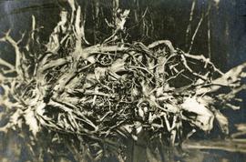
Photograph depicts a man standing near a very large driftwood root.
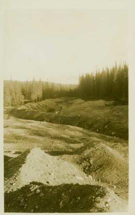
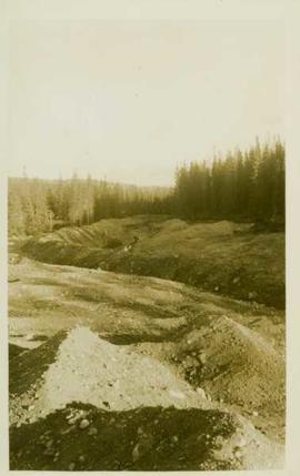
Photograph depicts unidentified man standing near mining ditches.
Photograph depicts unidentified man standing near mining ditches.
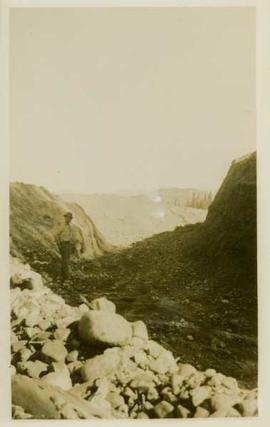
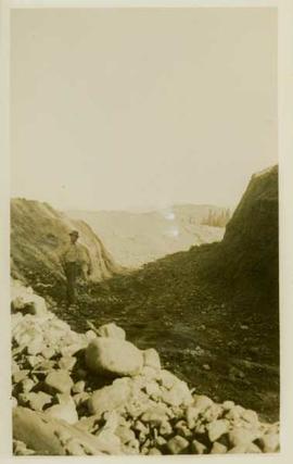
Photograph depicts an unidentified man standing in a large mining ditchline.
Photograph depicts an unidentified man standing in a large mining ditchline.
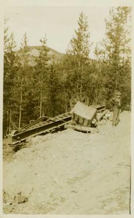
Photograph depicts an unidentified man standing beside dismantled pieces of mining equipment, in the background is a forested landscape.


