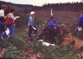
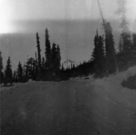
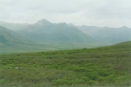
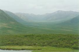
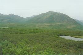
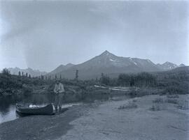
Image depicts numerous burned tree stumps somewhere in the McGregor Valley.
Image depicts a view of McGregor Valley from an uncertain location.
Image depicts a view of McGregor Valley.
Image depicts a view of the McGregor Valley.
Image depicts a view of McGregor Valley.
Image depicts a view of McGregor Valley from an uncertain location.
Image depicts a view of McGregor Valley.
File consists of a single slide depicting people on tour at the McGregot Model Forest.
Forest cover map showing a crossing area of the McGregor River is annotated with a road and ferry crossing.
Image depicts the McGregor from the point of view of a bridge.
Image depicts a bridge over the McGregor River. A sign in the image reads: "Danger. The river is not navigable for any type of boat. Down stream falls and rapids impassible!"
Image depicts a bridge over the McGregor River.
Image depicts the McGregor River at an uncertain location.
Image depicts what is possibly the McGregor River.
Image depicts the McGregor River at an uncertain location.
Item is a photograph of the McGregor family on land that was subsequently flooded to create the reservoir for the W.A.C. Bennett Dam.
Image depicts a view of the Herrick River in what is possibly McGregor Canyon; the slide is simply labelled "McG Canyon - above Herrick."
Image depicts a view of the Herrick River in what is possibly McGregor Canyon; the slide is simply labelled "McG above Canyon."
Image depicts a view of the Herrick River in what is possibly McGregor Canyon; the slide is simply labelled "McG Canyon."
Image depicts a view of the Herrick River in what is possibly McGregor Canyon; the slide is simply labelled "McG above Canyon."
Photograph depicts McDame Mountain from view of the early construction campsite at Cassiar. Trees in foreground.
Photograph depicts McDame Creek road, snow-covered and taken from center of road, 1.5 miles from the early construction camp at Cassiar. Trees and mountains in background.
Photograph depicts the McCulloch CPR depot at mile 76.6 on the Carmi Subdivision. The depot was painted blue inside. The last passenger train was seen 17 January 1964 and the last freight train on the 19 May 1973.
Photograph depicts the McCulloch CPR depot located at mile 76.7 on the Carmi Subdivision, which is about 27 miles northeast of Penticton. The rear building is the passenger depot, which was painted blue inside. The view is looking north.
Photograph depicts the McCulloch CPR depot located at mile 76.7 on the Carmi Subdivision, which is about 27 miles northeast of Penticton. The building on the right is the passenger depot, which was last officially used in January 1964. The view is looking south on the downgrade.
Photograph depicts the McCulloch CPR depot located at mile 76.6 on the Carmi Subdivision., about 27 miles northeast of Penticton. The lifted switch at the right leads to a former "Y" that led east. The view is looking north.
Photograph depicts a man stopped with a canoe on the shore of a river located near McClair Creek. Several mountains are visible from the background of the image.
Photograph depicts street in McBride, wood buildings and tent buildings on either side. Small businesses and restaurants line the left side of the street. Forest slash stands in newly cleared area in foreground. Railway tracks cross right foreground, hills visible in background. Annotation on verso of photograph reads: "MC.Bride, B.C.", handwritten on recto: "1914 [Bourchier?]"
Photograph depicts McBride railroad station.
Image depicts the McBride Hotel near the Mt. Robson Provincial Park.
Image depicts the McBride District Centennial Library.
Image depicts the McBride CNR station.
Image depicts the rear-end of the CN Station in McBride, B.C.
Image depicts the CN Station in McBride, B.C.
Image depicts a street in McBride, B.C.