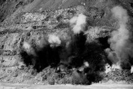
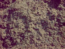
2000.1.1.3.13.02
·
Item
·
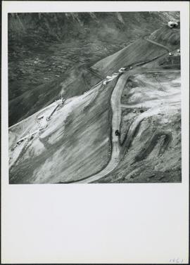
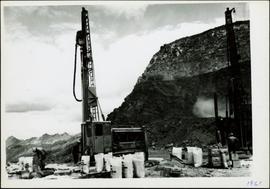
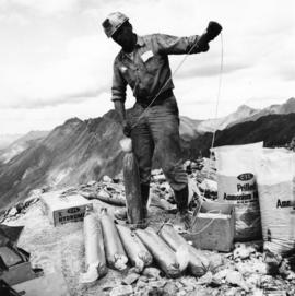
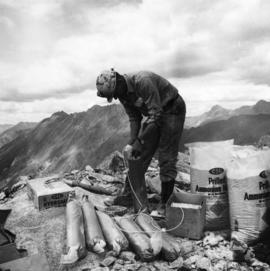
1958
Part of Cassiar Asbestos Corporation Ltd. fonds
Photograph depicts the Cassiar townsite in foreground. Mill, dry rock storage building, and tailings pile can be seen in background. Handwritten annotation on verso of photograph: "1958 [1961 crossed through]."