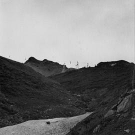
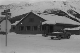
2000.1.1.3.13.01
·
Item
·
1958
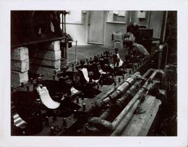
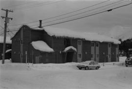
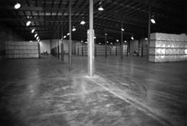
Part of Cassiar Asbestos Corporation Ltd. fonds
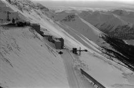
Photograph depicts the Cassiar valley. Handwritten annotation on verso of photograph: "1958 [1961 crossed through]", on recto: "Cassiar Asbestos Corporation Limited. Cassiar B.C. Townsite in foreground mill and ore storage in left middle ground," "Toronto set". It is believed that this photograph was made into a post card.