2000.1.1.1.06.02
·
Item
·
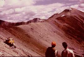
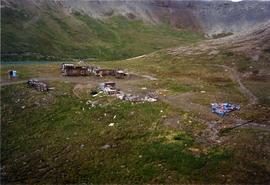
1966
Part of Cassiar Asbestos Corporation Ltd. fonds
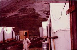
Photograph depicts man believed to be Matt Bell standing in Kutcho Creek exploration camp. The camp was set up by a crew led by Cassiar's Chief Geologist Bill Plumb. Tents on either side, wood structure in background. Sign on wood post: "PLUMB BLVD."