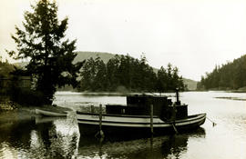
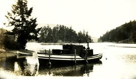
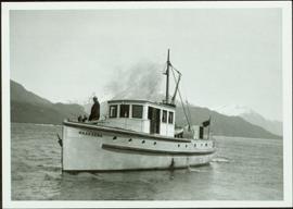
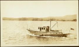
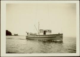
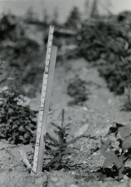
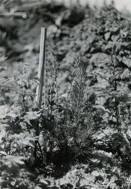
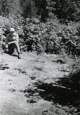
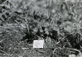
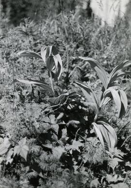
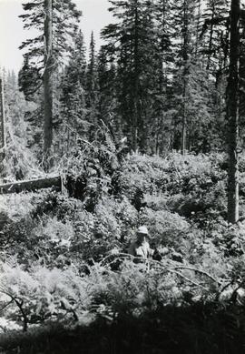
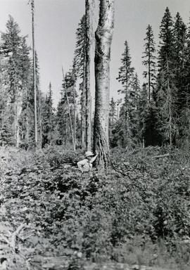
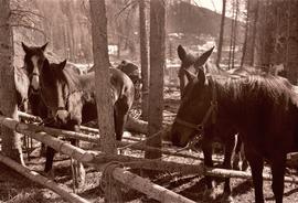
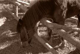
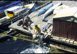
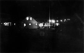
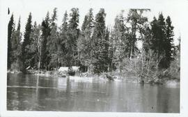
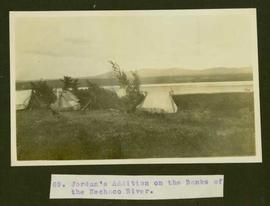
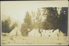
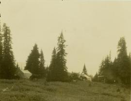
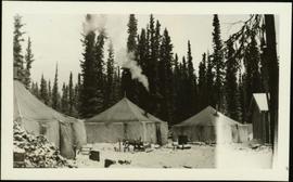
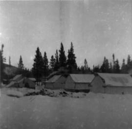
Caption: The Big Kettle. Omineca River. the gas from this, kills birds, rats and mice. Item is a photograph of three survey crewman standing besie the Big Kettle - a geiser (?)
Hand coloured lofty view of the Prince Rupert waterfront. Printed annotation on recto reads: "The Beginning of Prince Rupert, B.C. : Grand Trunk Pacific Hotel in foreground." Artist's stamp in lower left corner reads: "104,036 J.V."
Stern wheeler passing through rapids. Printed annotation on recto reads: “The B.C. Express passing through the Grand Canyon B.C.” Handwritten annotation in red ink on recto adds: “1913”
Caption: Arctic-Pacific divide; To the Pacific (written on left side of photo); To the Arctic (writtn on the right side of the photo); Timber-line valley, lovely open country to live and travel in.
Photograph depicts a small boat called the "Algoma" tied near the shore, treed shores in the background.
Photograph depicts a boat anchored near shore. Name on the boat is "Algoma". Handwritten annotation below the photograph reads, "Maple Bay 15/8/33".
Photograph of a rhododendron above typed message reading: “The Honourable Iona Campagnolo, Lieutenant Governor, British Columbia. As an expression of appreciation for officiating at the opening of the 2005 Annual Convention of the American Rhododendron Society, we are pleased to present to you a rhododendron to be officially named ‘Iona Campagnolo.’ May plant and person continue to flourish. The Victoria Rhododendron Society. 28 April 2005.”
Handwritten annotation in pen on verso reads: "Dad [W.E. Collison] on ‘Naskeena’ – Prince Rupert Harboue en route to Nass River”.
Indian agency boat the “Naskeena” en route to its next destination. Handwritten annotation in pen on verso reads: “ ‘Naskeena’ en route”
Indian agency boat the “Naskeena” off Kitkatla B.C. W.E. Collison, Indian Agent standing at the stern.
Handwritten annotation in pen on verso reads: “‘Naskeena’ Gov. patrol boat off Kitkatla BC. W.E. Collison on stern.”
Photograph depicts a small cluster of buildings near the river bank.
Caption describing photograph: "T.F.L. #30 - View of McGregor Plateau with McGregor Mountains on horizon, Fraser River with Limestone Creek in foreground."
Caption describing photograph: "T.F.L. #30 - Typical stocking compatible with pre-scarification. C.P. 58."
Caption describing photograph: "T.F.L. #30 - Typical Spruce-Alpine Fir Stand."
Caption describing photograph: "T.F.L. #30 - Species Comparison - Typical first season leader (+/-3") on 2+1 White Spruce adjacent row to No. 1 [2007.1.30.2.126]"
Caption describing photograph: "T.F.L. #30 - Species Comparison - Typical first season leader (+/-12") on 2+1 Lodgepole Pine. Woodall Creek. High Site, outwash sands, after post-scarification."
Caption describing photograph: "T.F.L. #30 - Severely scalped area of 1965 post-scarification, no re-growth of brush, very little regeneration of S-B [Spruce-Balsam or Spruce-Alpine Fir] much of which killed by drought and/or frost heaving." A man kneels in the photograph for scale.
Caption describing photograph: "T.F.L. #30 - As in No. 7 [2007.1.30.2.123], illustrating poor growth of 2+0 planted at same time and on same site as No. 8 [2007.1.30.2.124], brush and grass removed for photo."
Caption describing photograph: "T.F.L. #30 - As in No. 7 [2007.1.30.2.123], illustrating competitive ability of 2+1 Spruce."
Caption describing photograph: "T.F.L. #30 - Re-growth of brush (ferns, grass, horsetail, Rubus). Old T.F.L. #28. Logged 1963, planted Spring 1965." A man stands in the photograph for scale.
Caption describing photograph: "T.F.L. #30 - Condition of 1965 pre-scarification on C.P. 58 (poor coverage), fair to good regeneration B-S [Alpine Fir-Spruce], still receptive."
Caption describing photograph: "T.F.L. #30 - Condition of 1965 post-scarification on C.P. 58. Severe brush invasion." A man stands in the photograph for scale.
Photograph depicts a tethered pack horses in makeshift log stalls between Bella Coola and Anahim Lake during the WWII Polar Bear training exercise.
Photograph depicts a tethered pack horse between Bella Coola and Anahim Lake during the WWII Polar Bear training exercise.
Image depicts a vehicle on a gravel road somewhere near Tête Jaune Cache, B.C.
Image depicts a forest service cabin somewhere near Tête Jaune Cache, B.C.
Image depicts a collapsing shack somewhere near Tête Jaune Cache, B.C.
Item is a photograph of a copy print, resulting in a low quality photographic reproduction. Reproduced as a print, slide, and a negative. Location of original photograph is unknown.
Handwritten photo album caption below this photo reads: "Teslin Lake and River, at 11 000 feet." Photograph depicts winding river below, mountain range in background.
Royal Canadian Air ForceImage depicts the Terzaghi Dam on the Bridge River, looking from the upstream (reservoir) side located near Bralorne, B.C. The water is Carpenter Lake.
Image depicts the Terzaghi Dam viewed from the downstream side near Bralorne B.C.
Photograph depicts a group of people from the Vancouver-based Terrace Support Group at a picnic table in Kitwanga.
Image depicts a rail road bridge located somewhere near Terrace, B.C.
Image depicts a view of Terrace, B.C.
Photograph depicts the Pacific Terminus of the Trans Canada Highway in Tofino, B.C. on Vancouver Island.
Typed caption glued to album page directly below photograph reads: "69. Jordan's Addition on the Banks of the Nechac[k]o River." Photograph depicts three tents situated in an open field near the Nechako River. Photographer: Dominion Stock & Bond Corporation.
Photograph depicts four tents with laundry line hung between them, trees and hills in background. Handwritten annotation on recto of photograph: "The Camp."
Image depicts several orange and blue tents, possibly somewhere near Riske Creek, B.C.
Photo description on accompanying photo album page: " 'Yonge Street' at Teslin Lake, Yukon. The centre tent was used by the radio men. Teslin, 130 miles south of Whitehorse, is the site of one of the aircraft radio stations on the new Edmonton-Whitehorse circuit, paralleling the Alaska Highway."
Photograph depicts tent structures in the early construction camp at Cassiar. Snow-covered area in foreground, trees in background.