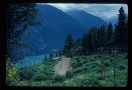
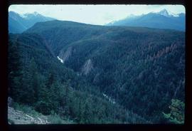
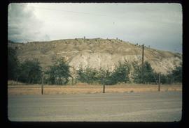
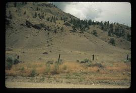
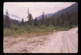
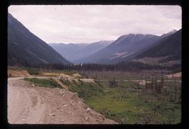
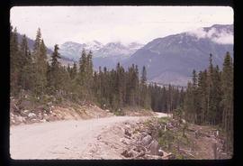
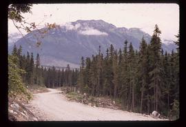
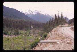
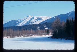
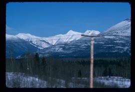
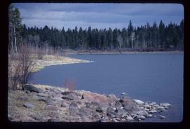
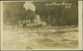
2012.13.1.51.157
·
Item
·
[1999?]
Part of J. Kent Sedgwick fonds
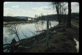
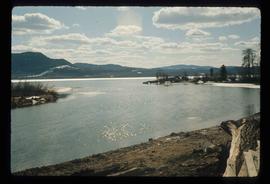
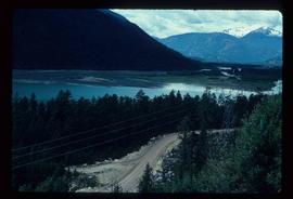
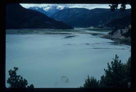
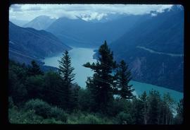
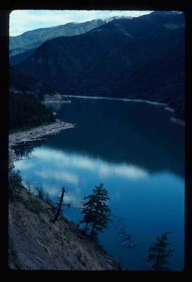
Image depicts Nautley and the Nautley River near Fraser Lake, B.C.