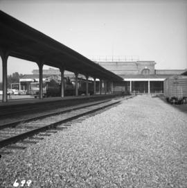
2013.6.36.1.009.62
·
Item
·
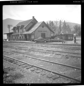
Oct. 1965
Part of David Davies Railway Collection
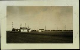
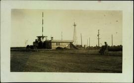
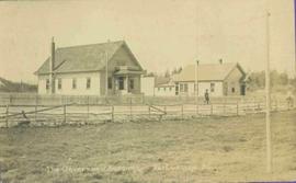
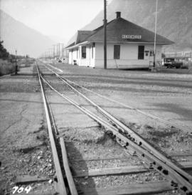
Photograph depicts the Great Northern Railway depot at Keremeos and the terminus of the line from Wenatchee, Washington, U.S.A. The line stops about 1/3 mile beyond this point. At one time it ran on to Hedley mine and possibly Princeton.