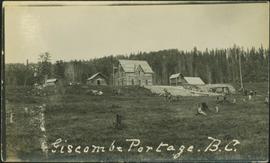
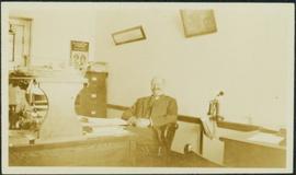
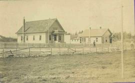
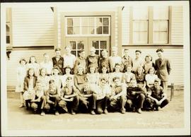
2012.13.1.87.165
·
Item
·
[between 1975 and 1995]
Part of J. Kent Sedgwick fonds
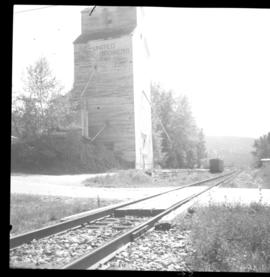
Image depicts what is possibly the CN Railway Station and tracks located in Giscome, B.C.