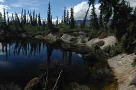
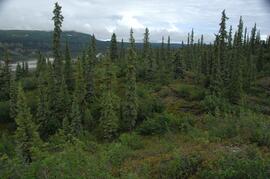
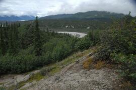
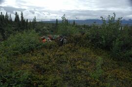
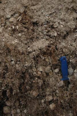
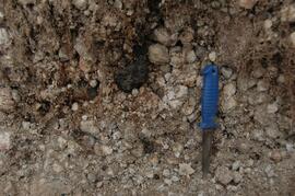
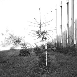
Caption describing photograph: "Larix larciana (Tamarack). Wildling transplanted Autumn 1964 from Tamarack Lake 30 miles West of Prince George. Age 6 years. Height 29", 65 leader 4", 66 growth 9". All measurement taken June 23, 1966."
Photo depicts a large sled loaded with large metal tubing, a tent and a pile driver(?)
Photographic print contains the following writing on verso:
"Larch and Douglas fir seed trees under (?) seed bed preparation, 1986 Nelson BC, J Revel"
Photograph depicts a landscape perspective featuring construction of two water flumes across a narrow valley between a forested landscape.
Photograph depicts a landscape perspective featuring a water flume in the shape of a horseshoe built along a forested hillside. Handwritten annotation on verso of photograph reads: "Horshoe Creek"
Photograph depicts one man standing on the bank of a river, forest in the background. The image is not in focus or possibly a double exposure.
Image depicts the Lakeland Sawmill in Prince George, B.C, identified by the beehive burners; the one with white smoke belonged to Pas Lumber Co. which was bought out by Lakeland in 1987.
Image depicts the Lakeland Sawmill in Prince George, B.C.
Photograph depicts a small inland lake, trees and low hills border the lake.
This image is part of the outbound sequence of aerial images obtained on the helicopter flight to the Klutlan Glacier study site. The sequence starts from the base camp at the White River crossing on the Alaska Highway and heads south, to a point just upvalley of the debris-covered terminus (approx. 10-15 km from Alaska border), and turning back north to the landing spot on the Generc River floodplain close to the study site (see Fig. 1 in paper).
Photograph depicts view of Kitseucla mountain summit with snow patches and a rocky peak.
Photograph depicts Kitseucla creek, trees and a mountain peak in the distance.
Photograph depicts Kettle River canyon near Cascade, BC.