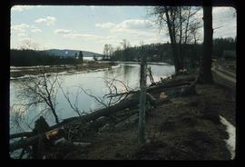
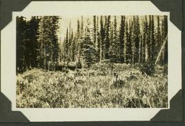
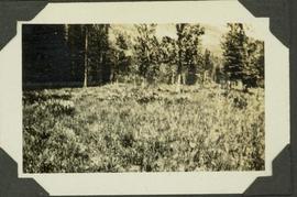
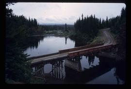
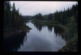
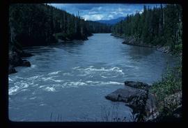
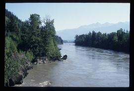
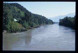
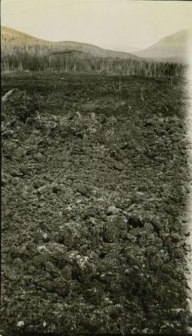
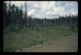
Image depicts a stretch of land from Highway 97 near 100 Mile House, B.C.
Typed caption glued to album page directly below photograph reads: "8. N.E. View of Fort Fraser Townsite." Photograph depicts a cleared area of land and two tents (?). Photographer: Dominion Stock & Bond Corporation.
Handwritten annotation on recto: "Lining up boat" which refers to a slight view of men along the left edge of the photo maneuvering their row boat within the water
Handwritten annotation on recto: "Ne Parle Pas Rapids"
Handwritten annotation on recto: "Ne Parle Pas Rapids on the Peace River BC"
Image depicts an old, collapsing house at the Nautley site in Fort Fraser, B.C.
Image depicts a couple of old, collapsing buildings at the Nautley site in Fort Fraser, B.C.
Image depicts the entrance of the Nautley River in Fort Fraser, B.C.
Image depicts numerous trees damaged by beavers near the Nautley River.
Image depicts Nautley and the Nautley River near Fraser Lake, B.C.
Item is a photograph of vegetation.
Image depicts a nature trail on Cottonwood Island.
Photograph depicts natural springs falling down a rocky slope found below Hudson's Hope, upriver from Ferry Landing. In the background of the image a forested area rises above the rocky slope.
Image depicts natural meadows, possibly east of Prince Georg, B.C.
This flag, marked "Native Brotherhood of British Columbia," was received by Minister Iona Campagnolo during a meeting with the Native Brotherhood of BC.
Photograph depicts the national emblem of the German Democratic Republic detailing the hammer, compass, and ring of rye on a building. The coat of arms is possibly located in Berlin, East Germany. The photograph was taken while on Iona Campagnolo's European sports tour.
Image depicts a bridge over the Nation River somewhere south of Manson Creek, B.C.
Image depicts the Nation River somewhere south of Manson Creek, B.C.
Image depicts a camper parked on the shore of Nation Lakes, south of Manson Creek, B.C.
Image depicts a south-west view of the Nass Valley.
Photograph depicts a view of the wide expanse of the Nass river. Handwritten annotation below photograph reads, "The Nass River below Greenville".
Image depicts a bridge over the Nass River.
Image depicts the Nass River from a bridge at an uncertain location.
Image depicts what is possibly the Nass River.
Photograph depicts rough waters. There is snowy shoreline on the right and left with snowy forested hills and mountains in the background. Handwritten annotation below photograph reads, "Naas - Inlet in a windy spell".
Photograph depicts a view the wharf in the foreground, cannery and housing in the midground and snowy mountains in the distance. Handwritten annotation below photograph reads, "N. H. Warf & Cannery".
Photograph depicts a bird's eye view of Nass Harbour, cannery on the right, open water in the midground, snow capped mountains in the background. Handwritten annotation below photograph reads, "Naas Harbour 3/28".
Photograph depicts a row of small buildings, beach and walkways. Handwritten annotations below the photograph reads, "Taken at Naas harbor Feb. 28th, 1926".
Photograph depicts small buildings with ocean in the background. Handwritten annotation below photograph reads, "Rear view as above".
Photograph depicts Nass Harbour dock at low tide, shoreline and dock in the foreground, Snow capped mountains in the distance. Handwritten annotation below photograph reads, "Wharf at Naas Harbour 22' tide out".
Photograph depicts a cluster of small houses. Handwritten annotation below photograph reads, "N. H. view Crews quarters".
Photograph depicts a creek with bushes on both sides. Handwritten annotation below photograph reads, "Naas Harbour creek".
Photograph depicts wooden walkways, small homes and trees covered with a skiff of fresh snow. Handwritten annotation below photograph reads, "Naas Harbour Cannery, B.C.".
Photograph depicts two men and three women of possbile indigenous descent standing near a cannery building. Handwritten annotation below photograph reads, "Most of the net loft gang - Naas Harbour".
Photograph depicts a view of Nass Harbour Cannery. Handwritten annotation below photograph reads, "Naas Harbour Cannery west side view".
Photograph depicts a row of small fish boats following behind a larger boat. Handwritten annotation below photograph reads, "Starting out for the fishing grounds."
Photograph depicts seven unnamed adults and four unnamed children standing on a beach with water and forest in the background. Handwritten annotation below photograph reads, "Naas Harbour Cannery picnic party August 1927".
Photograph depicts two adult men, three women and a boy. Handwritten annotation below photograph reads, "Naas Harbour Cannery picnic party August 1927".
Photograph depicts houses, trees and hillside covered with a skiff of fresh snow. Handwritten annotation below photograph reads, "April showers 22/4/24".
Photograph depicts an aerial view of a large cannery. There is a dense forest and a river in the background. Handwritten annotation below photograph reads, "Naas Harbour Cannery July 1926".