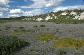
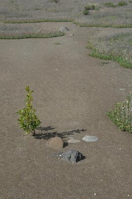
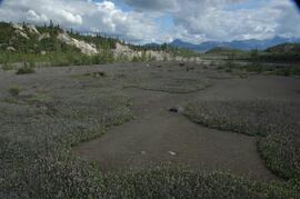
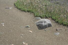
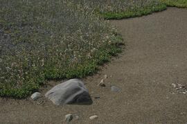
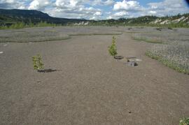
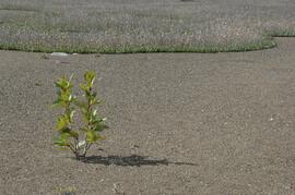
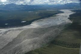
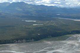
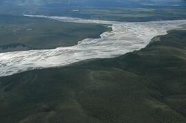
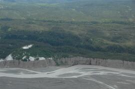
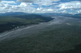
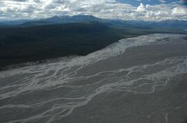
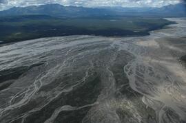
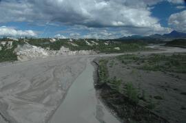
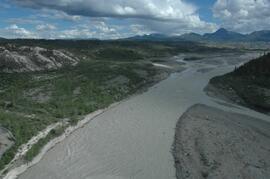
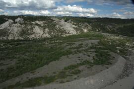
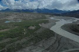
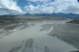
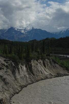
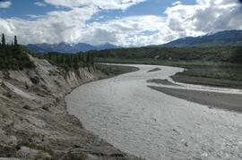
This image is part of the return trip sequence of aerial images obtained on the helicopter flight leaving the Klutlan Glacier study site. On the return leg at the end of the day, the flight initially went upvalley to pick up another party. This image was taken after the helicopter turned north to return to base camp.
This image is part of the return trip sequence of aerial images obtained on the helicopter flight leaving the Klutlan Glacier study site. On the return leg at the end of the day, the flight initially went upvalley to pick up another party. This image was taken after the helicopter turned north to return to base camp.
This image is part of the return trip sequence of aerial images obtained on the helicopter flight leaving the Klutlan Glacier study site. On the return leg at the end of the day, the flight initially went upvalley to pick up another party. This image was taken after the helicopter turned north to return to base camp.
This image is part of the return trip sequence of aerial images obtained on the helicopter flight leaving the Klutlan Glacier study site. On the return leg at the end of the day, the flight initially went upvalley to pick up another party. This image was taken after the helicopter turned north to return to base camp.
This image is part of the return trip sequence of aerial images obtained on the helicopter flight leaving the Klutlan Glacier study site. On the return leg at the end of the day, the flight initially went upvalley to pick up another party. This image was taken after the helicopter turned north to return to base camp.
This image is part of the return trip sequence of aerial images obtained on the helicopter flight leaving the Klutlan Glacier study site. On the return leg at the end of the day, the flight initially went upvalley to pick up another party. This image was taken after the helicopter turned north to return to base camp.
This image is part of the return trip sequence of aerial images obtained on the helicopter flight leaving the Klutlan Glacier study site. On the return leg at the end of the day, the flight initially went upvalley to pick up another party. This image was taken after the helicopter turned north to return to base camp.
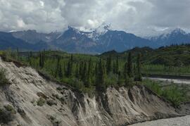
This image is part of the return trip sequence of aerial images obtained on the helicopter flight leaving the Klutlan Glacier study site. On the return leg at the end of the day, the flight initially went upvalley to pick up another party.
This image is part of the return trip sequence of aerial images obtained on the helicopter flight leaving the Klutlan Glacier study site. On the return leg at the end of the day, the flight initially went upvalley to pick up another party.
This image is part of the return trip sequence of aerial images obtained on the helicopter flight leaving the Klutlan Glacier study site. On the return leg at the end of the day, the flight initially went upvalley to pick up another party.
This image is part of the return trip sequence of aerial images obtained on the helicopter flight leaving the Klutlan Glacier study site. On the return leg at the end of the day, the flight initially went upvalley to pick up another party.
This image is part of the return trip sequence of aerial images obtained on the helicopter flight leaving the Klutlan Glacier study site. On the return leg at the end of the day, the flight initially went upvalley to pick up another party.
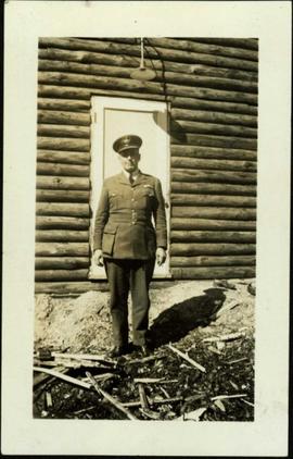
Handwritten photo album caption below this photo reads: "S/L. Geo Du Temple. #4 Unit N.W.S.R. Watson Lake." Photograph depicts man in uniform (wings medallion on left breast) standing in front of white doorway of log building. Ground in foreground covered with sticks and sawdust.
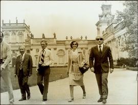
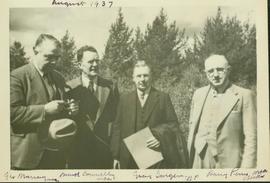
Royal Canadian Air ForceHandwritten annotation on verso reads: “The KGB + We in Vienna - World Hockey Championships 1977 - Geoff Gowen - Roger Jackson to left”. Building is the Museum of King Jan III's Palace at Wilanów, Warsaw, Poland
Item is a photograph of a copy print, resulting in a low quality photographic reproduction. Reproduced as a print, slide, and a negative. Location of original photograph is unknown.
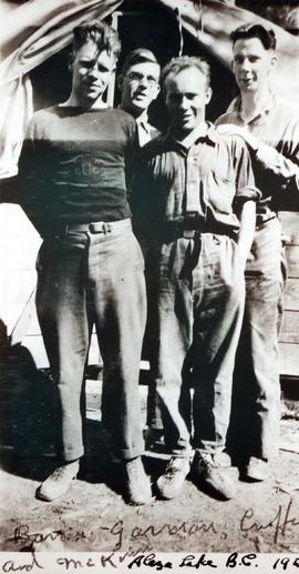
George Barnes, mensurationist, eventually taught at O.S.U. Eric Garman, silviculturist. Dr. Braham Griffith was in the Research Division 1926-1936. Fin McKinnon was eventually Chief Forester and then Dept. Minister.
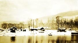
Photograph depicts building near a shore. Trees in the background have a skiff of snow. Handwritten annotation below photograph read, "George Delabo's mill, Sicamous, BC".
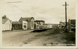
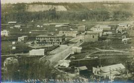
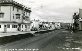
Photo depicts a street perspective of George St., in Prince George, BC, ca. 1950. Annotation recto reads: "George St. Prince George BC Photo by J Wrathall." Handwritten annotation in pen on verso of postcard reads: “This is the Hastings Street of Prince George. This & 3rd Streets are the main thoroughfares.”
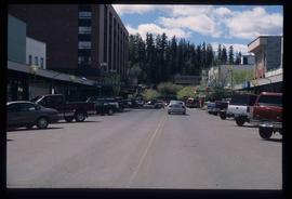
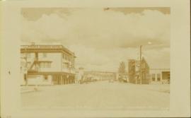
Image depicts a view of George Street with the Prince George City Hall at the corner of George Street and 7th Avenue.
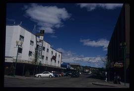
Image depicts a view of George Street with the Prince George Hotel.
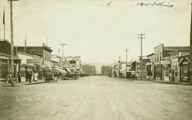
Printed annotation on recto reads: “George St. Prince George B.C.”, handwritten in pencil on verso reads: “CA. 1915”
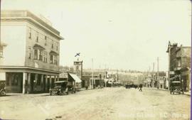
Photograph of George Street in Prince George B.C. Cars, people, and signage are visible. Printed annotation on recto reads: “George St. Prince George B.C. 1921 R7 by Moore” There is an “X” in ink over the fire hall. Handwritten annotation in ink on verso reads: “This view is also looking north and where I have put the X is the one and only fire hall and you can see the fire engine in the street. This is the main street.”
Street level photo of George Street in Prince George, Visible businesses include the "Prince George Hotel" and "Ford" dealership. Printed annotation on recto reads: "George St. Looking North Prince George, B.C. N&D."
Handwritten annotation on verso of photograph reads: "George St. Prince George BC Photo. S Wrathall". Prince George Hotel and Cafe stand on left side of street in foreground, and many other buildings and businesses can be seen. Vehicles line the street, cut banks visible in background. Photograph believed to have been taken while George Street was being prepared for a new lawyer of asphalt.
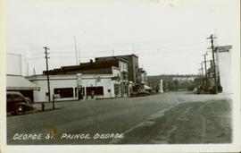
Street level photo of George Street in Prince George. Visible businesses include "B-A" and "Astoria Hotel." Printed annotation on recto reads: "George St. Prince George."
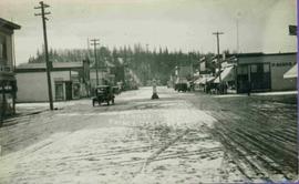
Photograph depicts buildings and vehicles lining street, and hill in background. There is snow on the road and several store signs are visible. Printed annotation on recto reads: “GEORGE ST. PRINCE GEORGE B.C.”
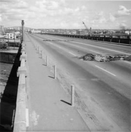
Photograph depicts the Georgia Viaduct in Vancouver. Image taken 5 days after its closure on June 28, 1971.
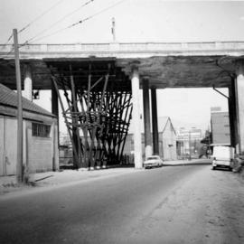
Photograph depicts a wooden arch supporting the sagging Georgia Viaduct in Vancouver, BCThe road in the foreground is Taylor Way.
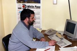
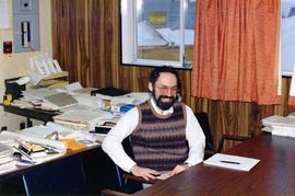
Photograph depicts planned maintenance supervisor Gerald Currie sitting at a desk with a computer.
Photograph depicts underground mine superintendent Gerald Verret.
Photograph depicts a ditch cut into a forested landscape. Handwritten annotation on recto of photograph reads: "New Germansen ditch length 10 miles; width of ditch bottom 15 feet"
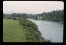
Image depicts the Germansen River, with the buildings of Germansen Landing visible on the other side.
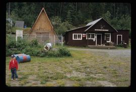
Image depicts a child in the foreground, and the Germansen Landing trading post in the background in Germansen Landing, B.C.
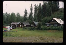
Image depicts a helicopter in Germansen Landing, B.C.
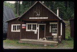
Image depicts the Germansen Landing Trading Post.
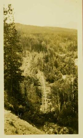
Photograph depicts a landscape perspective of Germansen Placers including the pipeline.
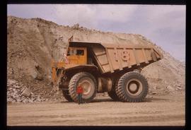
Image depicts an unknown woman standing in front of a truck that either weighs 80 tonnes, or is capable of carrying that much; the slide is simply labelled "80 tons." It is located at the Gibraltar mine site.
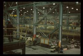
Image depicts the interior of the Gibraltar chemical mill, where they separate the molybdenum.
Image depicts the Gibraltar mine site north of Williams Lake, B.C.
