2013.6.36.1.028.28
·
Item
·
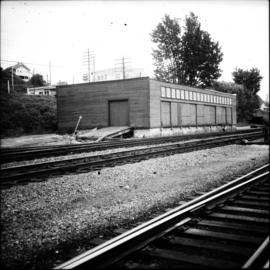
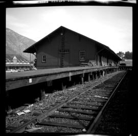
18 Sept. 1970
Part of David Davies Railway Collection
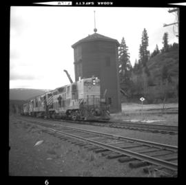
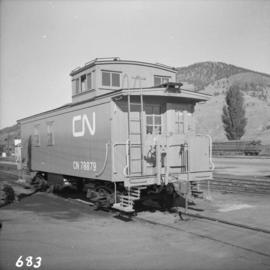
Photograph depicts a freight shed at the Nelson CPR depot. There is a terminal spur on the south side of the shed and road trucks on the north side. The road side of the main depot building can be seen in the left rear of the photo. The view is facing east.