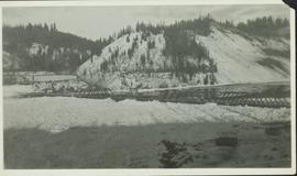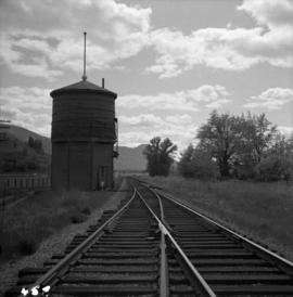
2000.19.1.147
·
Item
·
20 Sept. 1926-19 Oct. 1926
Part of Prentiss Gray Collection
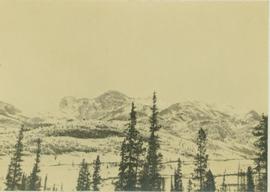
Photograph depicts a distant snow-covered mountain range with evergreen trees in the foreground.