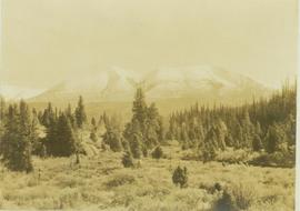
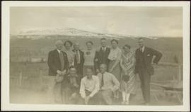
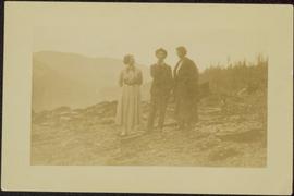
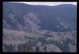
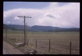
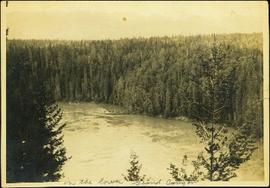
2012.13.1.85.04
·
Item
·
1975
Part of J. Kent Sedgwick fonds
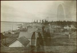
Image depicts the Rocky Mountain Trench from McBride, B.C.