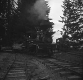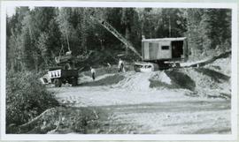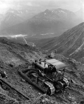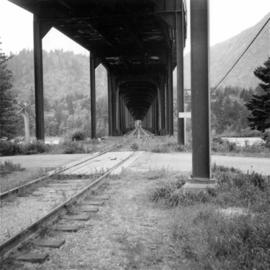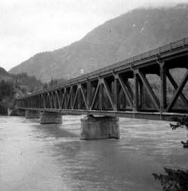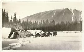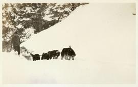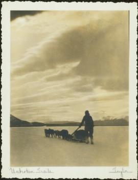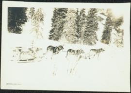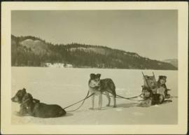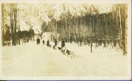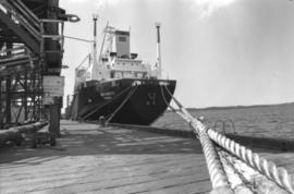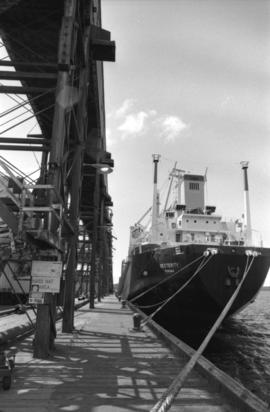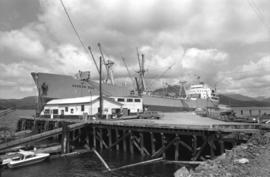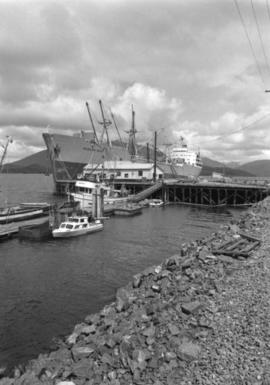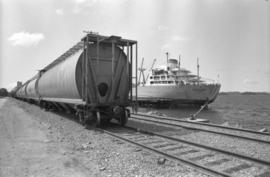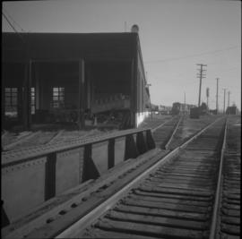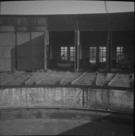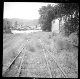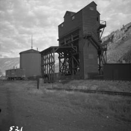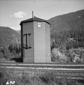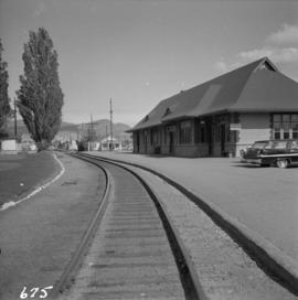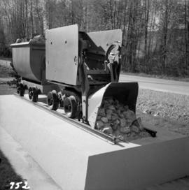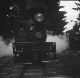
2013.6.36.1.059.12
·
Item
·
1964
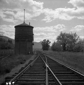
Part of David Davies Railway Collection
Photograph taken at the Duncan Forestry Museum.