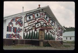
2013.6.36.1.002.006
·
Item
·
Aug. 1964
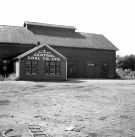
Part of David Davies Railway Collection
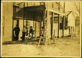
Photograph depicts the office of the Central Coal Co. Ltd., located on the south outskirts of Nanaimo, B.C. beside the Esquimalt and Nanaimo Railway. The building is one of the last pieces of evidence of coal distribution in Nanaimo.