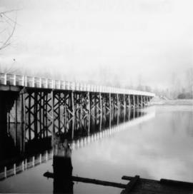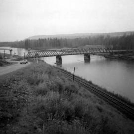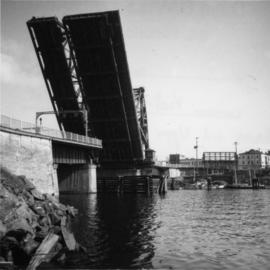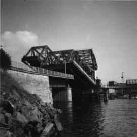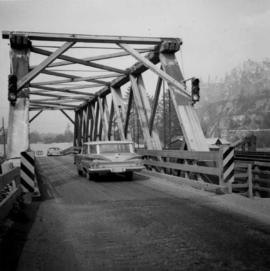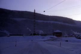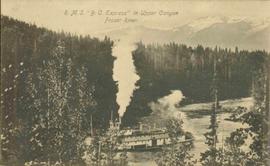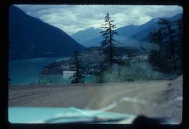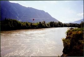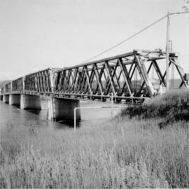
2013.6.36.1.069.21
·
Item
·
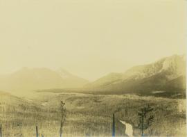
[July 1966]
Part of David Davies Railway Collection
Photograph depicts a road bridge in Quesnel.