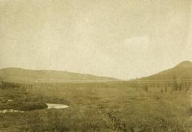
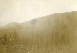
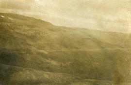
Photograph depicts dense undergrowth near the Bulkley River, mountains in the distance.
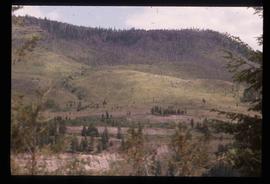
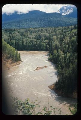
Photograph depicts dense undergrowth near the Bulkley River, mountains in the distance.
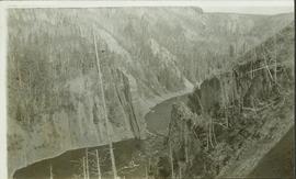
Photograph depicts bare mountain ridges near the Bulkley River and 55th parallel.
Image depicts the Bulkley River.
Image depicts the Bulkley River near Moricetown, B.C.
Image depicts the Bulkley River near Moricetown, B.C.
Image depicts the Bulkley River near Moricetown, B.C.
Image depicts the Bulkley River near Moricetown, B.C.
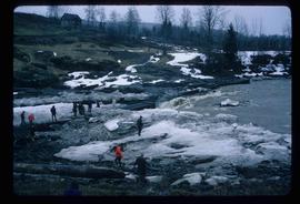
Image depicts numerous unknown individuals standing by the Bulkley River near Moricetown, B.C.
Image depicts a small group of people standing near the Bulkley River at Moricetown, B.C.
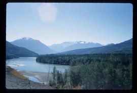
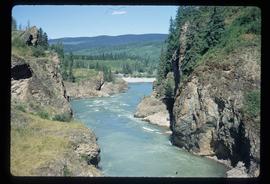
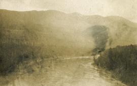
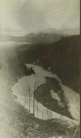
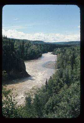
Photograph depicts a view looking down on the Bulkley River, forested banks on both sides of the river, high mountains in the distance.
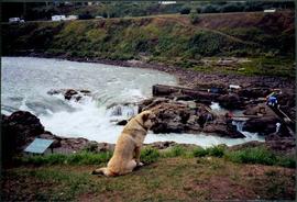
Photograph depicts dog seated on grass in foreground. Unidentified individuals visible below with fishing nets in waterfall area at Moricetown Canyon.
File consists of copies of computer-generated data tables from the Department of Fisheries and Oceans database (NAQUADAT) and from the BC provincial database (EQUIS). Measurements of heavy metal content in the Bulkley River were taken at Fort Fraser, Kenney Dam, Vanderhoof, Prince George, Smithers, and Morice River.
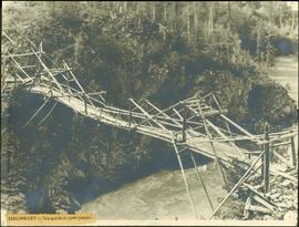
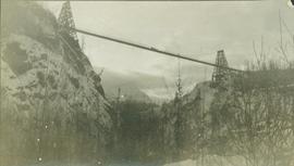
Close view of bridge built with wooden planks, poles, and wires, braced from below, with triangles built into its frame. The bridge crosses Hagwilget Canyon on the Bulkley River, five kilometres from its confluence with the Skeena River. This is one of the many bridge structures that have crossed this location since at least 1859. Photograph was taken from one side of canyon, near bridge. Opposite canyon wall in background. Typed annotation glued to verso of photograph: "HAGWILGET - 'the gentle or quiet people'."
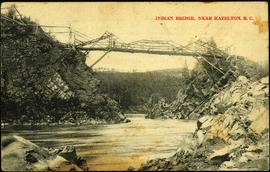
Photograph depicts two men and a horse on a bridge built with wooden planks, poles, and wires, braced from below, with triangles built into its frame. The bridge crosses Hagwilget Canyon on the Bulkley River, five kilometres from its confluence with the Skeena River. This is one of the many bridge structures that have crossed this location since at least 1859. Photograph was taken from a distance. Rocky riverbank in foreground, opposite shore in background behind bridge. Typed annotation in red ink on verso of photograph: "INDIAN BRIDGE, NEAR HAZELTON, B.C."
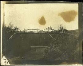
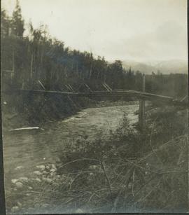
Photograph depicts bridge built with wooden planks and poles, braced from below, with triangles built into its frame. The bridge crosses Hagwilget Canyon on the Bulkley River, five kilometres from its confluence with the Skeena River. This is one of the many bridge structures that have crossed this location since at least 1859.
Handwritten annotation on recto of photograph: "old bridge at the Bulkley River."
This might be the Bulkley River
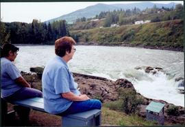
Photograph depicts Moran seated to right of woman on bench in foreground. Waterfall area at Moricetown Canyon can be seen below, behind booth labeled "MONITER BOOTH". Highway and houses visible on opposite shore in background.
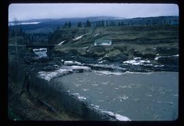
Image depicts the Bulkley River running through Moricetown Canyon.
Image depicts the Bulkley River running through Moricetown Canyon.
Image depicts the Bulkley River running through Moricetown Canyon.
Image depicts the Bulkley River running through Moricetown Canyon.
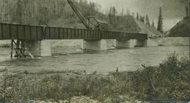
Partially visible handwritten annotation on verso: "...Bulkley River crossing taken from the door (?) yard of Ned's camp, Rec (?) 32". Photo consists of a work crew either crossing or working on this bridge.
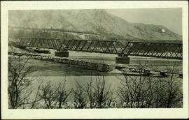
Photograph depicts the Grand Trunk Pacific Railway Bridge crossing the Bulkley River. A smaller bridge speculated to be used by pedestrians stands below and parallel to the railway bridge. Photo was taken from shore, with opposite shore crossing midground. Trees in foreground, mountains in background. A small building can be seen at opposite end of bridge. Other sections of railway can be seen on hill in background. Handwritten annotation on verso of photograph: "HAZELTON BULKLEY BRIDGE."
File consists of "Report on the Fisheries Problems Created by the Development of Power in the Nechako-Kemano-Nanika River Systems - Supplement No. 1: Temperature Changes in the Nechako River and Their Effects on the Salmon Populations". The report was prepared by the Department of Fisheries of Canada and the International Pacific Salmon Fisheries Commission.
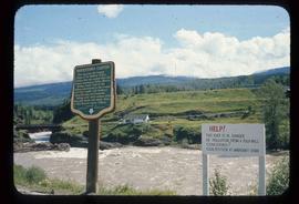
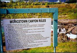
Photograph depicts sign in foreground outlining rules and restrictions for behaviour at Moricetown Canyon. Traditional fishing territory visible behind sign at waterfall in the Bulkley River, B.C. Highway and buildings can be seen in background.
This photograph album consists of images pertaining to early settlements, bridges, riverboats, railways, cross-land travel companies, and family and social life including portraits and such events as cross country skiing, picnics, family gatherings, basketball team photos, masquerade dances, dramatic plays, hockey games and team dinners. Identified individuals include: the Tillicums, Bill Bennett, Jean Caux, Frank Johnstron, the Taylor Family (Hermina, Hugh, Ellen, Violet, Lucy, Dixon, Arthur, Virginia, Tom and Hugh Jr.), H.G.T. Perry, Betty Angus, Mrs. Kirkpatrick and Mrs. Davis. Identified geographic locations include: South Fort George, Prince George, Hagwilget Bridge, Walcott, Prince Rupert, Finlay River Rapids, Lulu Island, Ashcroft, Skeena River, Nechako River, Bulkley River, Kispiox and Hazelton.
This file also contains a one way Canadian National Railways ticket in the name of Miss V.B. (Violet Bourchier) Taylor to travel from Prince Rupert to Vancouver in July 1927.
Taylor, HughPhotograph depicts an unidentified individual standing on cliff above waterfall at Bulkley River, B.C. Fishing territory visible below; highway, buildings, and hills visible in background.
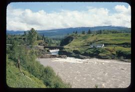
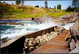
Photograph depicts fishing territory at waterfall rapids in Bulkley River, B.C. Highway and buildings on opposite shore in background.
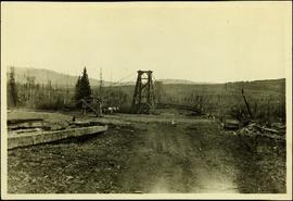
Handwritten annotation on recto of photograph: "Omineca Dist Walcott Suspension Bridge West Approach - looking East May 26 - 1932". Photograph depicts two white horses pulling a wagon in front of Walcott bridge. This bridge was moved from its original location in the Hagwilget Canyon, downstream from Walcott on the Bulkley River. It is a pedestrian bridge at the time of this photograph, though it was originally used by motor vehicles. Dirt road leading to bridge in foreground, with lumber and brush piles on either side. Trees and hills on opposite shore in background.
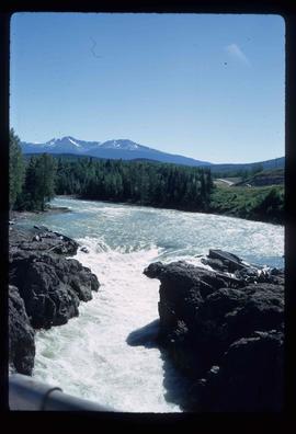
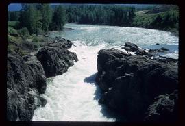
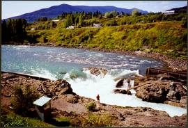
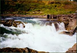
Photograph depicts white rapids at bottom of waterfall in Bulkley River, B.C. Fishing territory visible on far right; hill on opposite shore in background.
