2009.7.2.18
·
File
·
1927-1935
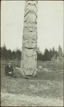
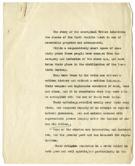
Part of Archdeacon W. H. Collison fonds
This file contains correspondence between W.E. Collison and Richard F. Van Valkenburgh; a letter and book listing from Francis Edwards, Ltd. (bookseller); a copy of a letter by W.E. Collison to the Prince Rupert Daily News; and three letters from First Nations individuals to W.E. Collison in his capacity as Indian Agent.