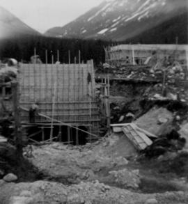
2000.1.1.2.1.195
·
Item
·
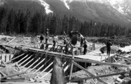
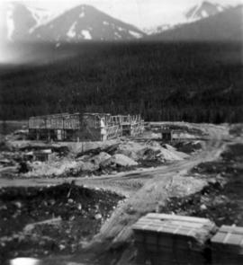
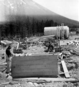
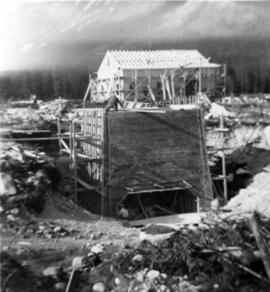
July 1952
Part of Cassiar Asbestos Corporation Ltd. fonds
Photograph depicts men working on truck dump construction, mountains in background.