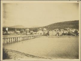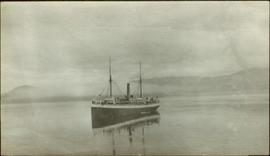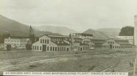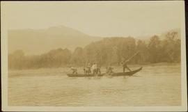
2009.7.1.135
·
Item
·
[ca. 1878 - ca. 1920]
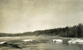
Part of Archdeacon W. H. Collison fonds
Forest and hills on opposite shore in background.