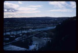
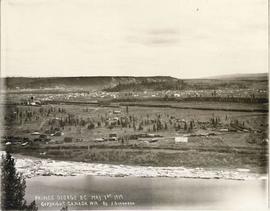
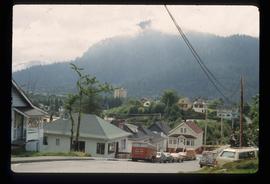
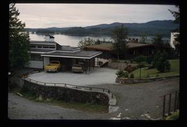
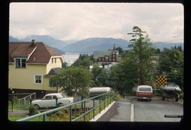
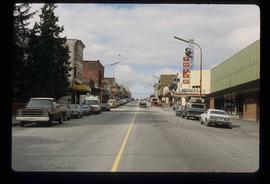
Image depicts a view of Prince George from the cutbanks on the Nechako river.
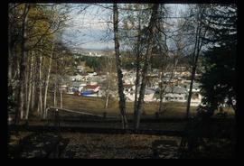
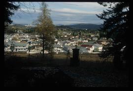
Image depicts a Prince George residential area from the viewpoint of the Ginter Property.
Image depicts a Prince George residential area from the viewpoint of the Ginter Property.
Collection contains photographs depicting community life in Prince George, B.C. Images depict holiday events, sports teams, government buildings, businesses (hotels, banks, retail, newspaper office), riverboats, railroad construction, fishing, a cemetery, street scenes, aerials, and landscapes. Also includes photos taken outside of the Prince George vicinity including Prairie Creek, Thomas Creek and Barkerville, B.C.
Item is an original 1961 map depicting Prince George .
Item is an original map depicting Prince George.
File consists of notes, reproductions, and graphs relating to the moving climate averages in Prince George.
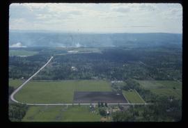
Image depicts Prince George near the Airport Road.
File contains slides depicting maps for land use in Prince George.
File consists of reproductions and pamphlets relating to outdoor recreation in Prince George. Includes material regarding bird watching, fishing, hiking, and regional and provincial parks. Includes: "Prince George Backroads" clipped article from The Angler's Atlas magazine (Sept. 2004); "Bird Viewing around Prince George" pamphlet prepared by the Province of British Columbia Ministry of Environment, Lands and Parks in cooperation with the Prince George Naturalist Club; "Forests for the World" pamphlet prepared by the City of Prince George; and "Regional Parks" pamphlet prepared by the Regional District of Fraser-Fort George.
File consists of a bound work entitled "Prince George Papers: Based on a field excursion taken in the Summer semester, 1974" that was produced by a Geography 262 course Simon Fraser University taught by professor L.J. Evenden. This work includes the following student papers: "Development and Planning of Prince George 1793-2001" by Jack Pope and Doug Sheffield; "Prince George: Entertainment and recreation" by Frank Chandler; "Parks in Prince George: The attitude of change" by Jane Davidson and Gary Dodd; "Glacial Features in the Prince George Study Area, B.C". by Maynard E.W. Embree; and "City of Prince George, a study of its Parks and Recreation Facilities, 1974" by Peggy Etches. Some of Kent Sedgwick's works were cited by these papers.
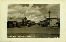
Postcard image depicts streetview looking west along 3rd Ave in Prince George, B.C. Storefronts and period automobiles are visible. Handwritten annotation on photographic negative, now visible along bottom of print image reads: "3rd Ave, Prince George B.C. Looking West. HND 41".
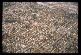
Image depicts an aerial view of a Prince George residential section between Highway 97, Carney Street and 10th Ave looking north. Map coordinates 53°54'54.0"N 122°46'00.4"W
File consists of notes, clippings, and reproductions relating to rivers in Prince George. Includes: "Proposal for Cottonwood Island as a park reserve" typescript document by the New Caledonia Institute of Environmental Studies [ca. 1980]; "Ministry of Provincial Secretary and Government Services" typescript letter from John McMurdo to Graham Farstad (15 Dec. 1982); "Rip-rap for Goat Island" typescript letter from Kent Sedgwick to Ernie Obst (23 Oct. 1986); "Ted Williams' river tour notes" typescript document by Ted Williams (June 1991); and "RE: Moffat A.L.R Exclusion and Archaeological Site F1Rq 2" typescript letter from Steve Acheson to Daniel Guerrette (11 May 1982).
File consists of notes, clippings, and reproductions relating to the Prince George Rivers Committee. Includes: "Report of the Rivers Committee" spiral bound typescript reports submitted to City Council of the City of Prince George (26 Sept. 1983) and "Submission to Rivers Committee by Heritage Advisory Committee" typescript document by Kent Sedgwick (Apr. 1983).
Image depicts Prince George Sawmill taken from across the Nechako River looking southwest. Map coordinates 53°56'00.0"N 122°44'29.7"W
Image depicts Prince George Sawmill taken from across the Nechako River looking southwest. Map coordinates 53°56'00.0"N 122°44'29.7"W
File consists of notes, reproductions, and letters relating to the street names in Prince George. Includes: "Canadian Permanent Committee on Geographical Names" typescript document; email from Ramona Rose to Kent Sedgwick (8 Dec. 2000); "Future entrance sign on Tyner Boulevard" typescript letter to Mr. Hamer from Ruth Iversen (10 Jan. 1995); "South Fort George gardens plan of subdivision" reproduced map depicting subdivision lots along the Fraser River in Prince George (2011); and "Porter Creek" letter from the Province of British Columbia to Kent Sedgwick (16 May 1989).
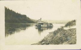
Stern wheeler in river. Handwritten annotation in pencil on verso reads: “Prince George to Tete Jaune” Hand written message in ink on verso is addressed to “Mademoiselle Elisabeth Joliet, Terrguy – Les Dijore Cote a Or France”
File consists of maps and town surveys of early Prince George. Includes various reproduced 1915 maps and surveys depicting Prince George, Central Fort George, and Fort George: "Subdivision of part of Indian Reserve no. 1 lot 343 Cariboo District BC"; "Parcel Z map 1268"; "Plan of Subdivision lot 933"; "First addition to townsite of Central Fort George"; "Subdivision of lot 1511 Cariboo District BC"; "Townsite of Fort George" map originally made by R.H. Holland; "Plan of Subdivision of lot 1426 Fort George Collins Addition"; "Plan of subdivision of lot 932 Cariboo District"; and "Plan of subdivision of part of lot 2507."
File predominantly consists of photocopies of newspaper articles, along with notes and reproductions relating to the development of the Prince George townsite and subdivision of Fort George, especially the area covered by Cariboo District Plan 1268. Includes material on investments and sale of lots in Prince George, Grand Trunk Pacific development in Prince George, and incorporation of the city of Prince George.
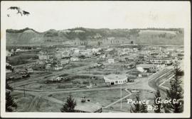
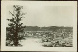
Photograph depicts the major buildings and streets of the town. Sloped cutbank visible across the Nechako River in background. It is believed that this photograph was taken from Connaught Hill. Handwritten annotation on verso of photograph reads: "PRINCE GEORGE, B.C."
Sloped banks visible across the Nechako River in background. It is believed that this photograph was taken from Connaught Hill. Tree silhouetted in right foreground.
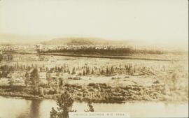
Wide angle photograph of a forested area with Prince George in the distance. Printed annotation on recto reads: "Prince George, B.C. 1924."
Item is an original 1969 map depicting Prince George British Columbia, published by the Department of Energy, Mines and Resources in Ottawa.
Item is an original 1982 map depicting Prince George British Columbia, published by the Department of Energy, Mines and Resources in Ottawa. Map includes pen markings.
File contains slides depicting places in and around Prince Rupert, B.C.
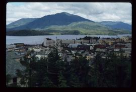
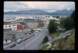
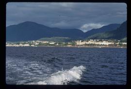
Image depicts a view of Prince Rupert, B.C.
Image depicts a view of Prince Rupert, B.C.
Image depicts a view of Prince Rupert, B.C.
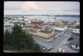
Photograph depicts silhouette of Prince Rupert BC buildings and the view looking beyond to the water.
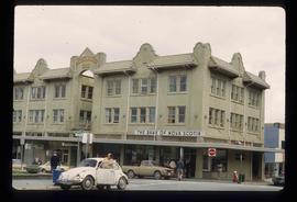
Image depicts the Bank of Nova Scotia located on "Besner Block" in Prince Rupert, B.C.
Image depicts the City Hall of Prince Rupert, B.C.
Image depicts a view of the downtown core of Prince Rupert, B.C.
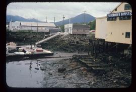
Image depicts numerous buildings and a small dock somewhere in Prince Rupert, B.C. One of the buildings is labelled "Fishermen's Supply."
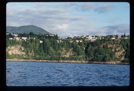
Image depicts numerous houses on the cliff-sides in Prince Rupert, B.C.
Image depicts numerous houses in Prince Rupert, B.C.
Image depicts several houses in Prince Rupert, B.C.
Image depicts numerous houses in Prince Rupert, B.C.
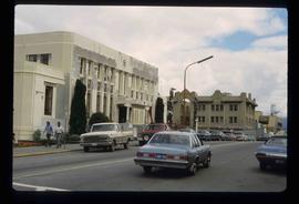
Image depicts the main street of Prince Rupert, B.C.
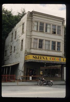
Image depicts an old building on the main street of Prince Rupert, B.C. Only half of the business name is visible: "Skeena Color [sic]."
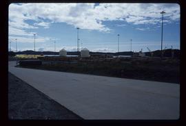
Image depicts a view of what is possibly a shipping yard in Prince Rupert, B.C. The slide is labelled "superport."
Item is an original 1976 map depicting the Prince Rupert and Terrace area in British Columbia, published by the Department of Environment in Victoria, British Columbia.
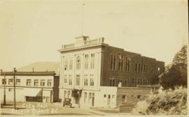
Postcard featuring a car parked outside of Prince Rupert City Hall. Handwritten annotation on verso reads: "Alex Hall, Glyn P.O., Victoria, B.C. Prince Rupert, Billy S."
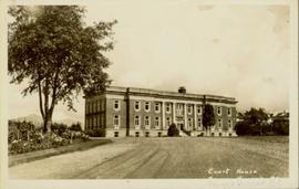
Ground level view of the Prince Rupert court house. Printed annotation on recto reads: "Court House." Handwritten annotation on recto in blue ballpoint pen reads: "Prince Rupert BC." Handwritten annotation on verso reads: "Hi Folks. Guess you've heard the good news by now. Well we've finished our cruises for this year so its home again finally to be with Marge and Janet. Will write shortly. Love Derek." Postcard is addressed to: "Mr & Mrs J.J. Oliver Box 666 Yarmouth N.S." Verso affixed with a three cent Canadian stamp. Postmark on verso reads: "Prince Rupert BC Oct 23 130 PM 1952."
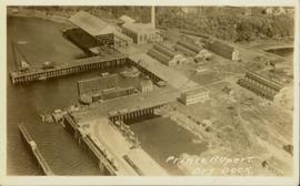
Overhead view of the dry dock in Prince Rupert, BC. Printed annotation on recto reads: "Prince Rupert Dry Dock."
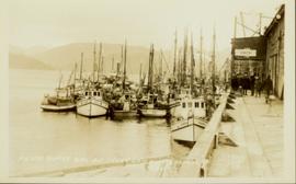
Photograph of many fishing boats in a harbour. Printed annotation on recto reads: "Prince Rupert Halibut Fleet landing 500,000 LBS. WWW."
Photograph depicts view of Prince Rupert harbor from a deck.
Photograph depicts a view from the water looking into Prince Rupert harbor.
