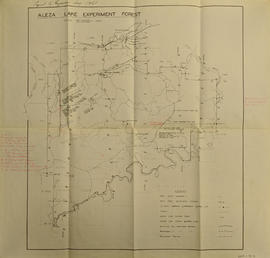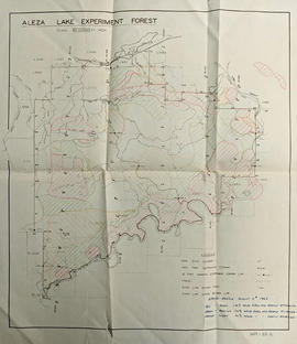
2013.6.36.1.001.69
·
Item
·
Oct. 1965
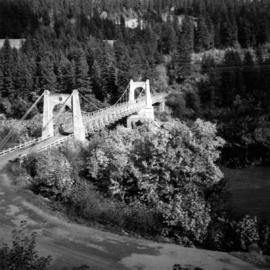
Part of David Davies Railway Collection
Photograph depicts the Alexandra Bridge in the Fraser Canyon, about 20 miles north of Hope. Photo looks to east bank.