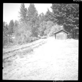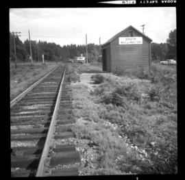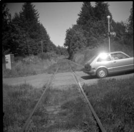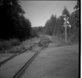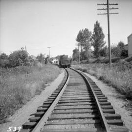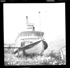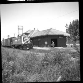
2013.6.36.1.034.22
·
Item
·
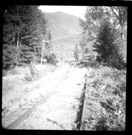
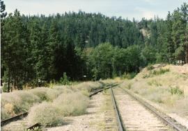
[23 June 1972]
Part of David Davies Railway Collection
Photograph taken at the Qualicum Beach depot which was not in use at the time the photograph was captured. Twice a week freight passed between Parksville and Courtenay.