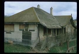
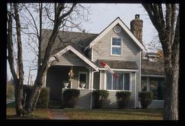
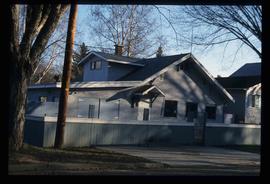
Image depicts an old government building, believed to have once housed the RCMP, in 150 Mile House, B.C.
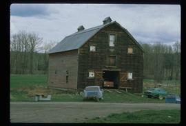
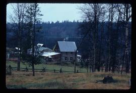
Image depicts the old RCMP barn at 150 Mile House, B.C.
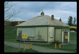
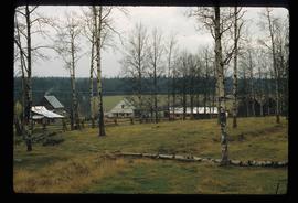
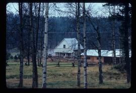
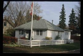
Image depicts the old school at 150 Mile House, with what is likely the modern school visible in the background.
Image depicts 1510 Fir Street in Prince George, B.C.
Image depicts 153 Mile House.
Image depicts 153 Mile House.
Image depicts the Crosina Store at 153 Mile House.
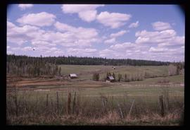
Image depicts a view of the property at 153 Mile House, near Quesnel, B.C.
The item is a photograph that depicts the Munro / Moffat house on 153 North Moffat Street in Prince George. Wood house with a log fence.
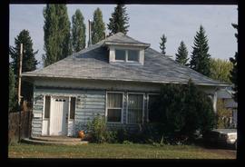
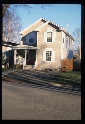
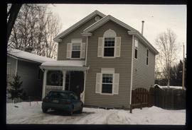
Image depicts 1532 Fir Street in Prince George, B.C.
The item is a photograph slide depicting the front of a blue house at 1532 Fir Street, Prince George.
The item is a photograph slide depicting the front and side of a blue house at 1532 Fir Street, Prince George.
The item is a front exterior photograph of an aged white and aqua coloured house at 1562 Gorse Street, Prince George. The house was the former home of Henry Wilson.
The item is a front exterior photograph of an aged white and aqua coloured house at 1562 Gorse Street, Prince George. The house was the former home of Henry Wilson.
The item is a front exterior photograph of an aged white and aqua coloured house at 1562 Gorse Street, Prince George. The house was the former home of Henry Wilson.
The items is a 35 mm photograph negative of the front exterior of an aged white and aqua coloured house. The address is 1562 Gorse Street, Prince George. The house was the former home of Henry Wilson.
The items is a 35 mm photograph negative of the front exterior of an aged white and aqua coloured house. The address is 1562 Gorse Street, Prince George. The house was the former home of Henry Wilson.
The item is a 35 mm photograph negative of the front and side exterior of an aged white and aqua coloured house. The address is 1562 Gorse Street, Prince George. The house was the former home of Henry Wilson.
File contents relate to: Mine Maintenance Issues. Document type(s) include: report. Notes: budget for projects.
Image depicts 1566 Ingledew Street in Prince George, B.C.
Image depicts 1566 Ingledew Street in Prince George, B.C.
The item is a photograph depicting a grey coloured house at 1570 Dogwood Street, Prince George. The house is located in the Millar Addition.
The item is a photograph depicting a blue coloured house in the Millar Addition at 1570 Elm Street, Prince George. The house was previously used for veteran housing. Annotations on reverse side of picture state, "Millar Addition vet housing 1948."
File consists of notes, letters, clippings, and reproductions relating to a heritage house at 1589 Seventh Avenue in Prince George, which had been previously owned by Dr. Edward James Lyon, a medical doctor who began practicing medicine in Fort George in 1916. Includes: "RE: Heritage House" fax message from Kent Sedgwick to Kirk Gable (23 May 2001); "House at 1589 - 7th Ave". typescript letter to Public Hearing RE: by-law 4913 from the Heritage Advisory Committee (8 Apr. 1987); and "Ingenika Tribal Administration" typescript letter from Lorna Wandio to the Mayor and City Council of Prince George (19 Sept. 1998). Also includes photographs depicting a house at the address 1589 7th Avenue, Prince George (8 Apr. 1987).
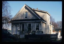
Image depicts 1590 Fir Street in Prince George, B.C.
The item is a photograph depicting the side of a beige house at 1589 7th Avenue, Prince George.
The item is a photograph depicting the front of a beige house at 1589 7th Avenue, Prince George.
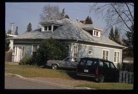
Image depicts 1598 Fir Street in Prince George, B.C.
Image depicts 1598 Fir Street in Prince George, B.C.
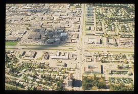
Image depicts the intersection of 15th Ave and Highway 97 in Prince George, B.C.
The item is a 35 mm photograph negative of a five story blue and white apartment complex located at 1600 3rd Avenue, Prince George.
This item is a photograph of a blue building at 1601 4th Avenue, Prince George. Building includes the Freemason Lodge.
The item is a photograph depicting the front and side of a white house located at 1616 8 Avenue, Prince George. Annotation on back states, "Van Horlick to north of property / Alex 1616 8th - Trimble house."
File consists of notes and typescript documents relating to a heritage house owned by Dr. Carl Ewart and Hubert King. Includes: "Rosel's Restaurant" typescript document (1992) and "The Hub King Residence" typescript document (1992). Also includes photographs depicting a painting of 1624 Seventh Avenue in Prince George (Aug. 1992).
The item is a photograph depicting the white house at 1630 Dogwood Street, Prince George.
The item is a photograph depicting the white house at 1630 Dogwood Street, Prince George.
The item is a photograph depicting the white house at 1630 Dogwood Street, Prince George.
The item is a photograph depicting the side view of a white coloured house at 1633 10 Avenue in Prince George. Annotation on reverse side of picture states, "983 Vanc. St."; however, this annotated is believed to be an incorrect identification of the photograph.
The item is a photograph depicting the front of a grey house at 1643 5th Avenue, Prince George.
The item is a photograph depicting the front of a grey house at 1643 5th Avenue, Prince George.
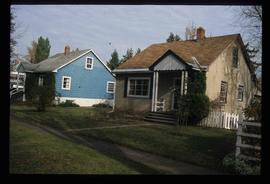
Image depicts 1650 Dogwood Street and 1670 Dogwood Street in the Millar Addition neighbourhood in Prince George, B.C.
The item is a photograph depicting the Gaul residence at 1651 5th Avenue in Prince George. House is a proposed heritage building.
The item is a photograph depicting the front and side view of a white coloured house at 1699 5th Avenue in Prince George. Annotation on reverse side of picture states, "1675 5th Sept 94."
The item is a photograph depicting the front view of a white coloured house at 1699 5th Avenue in Prince George. Annotation on reverse side of picture states, "1675 5th Sept 94."
Image depicts 1690 Dogwood Street, on the corner of 17th Ave and Dogwood St. in Prince George, B.C. Also depicts a portion of 1670 Dogwood Street at left.
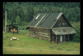
Image depicts an old log cabin at an uncertain location.
