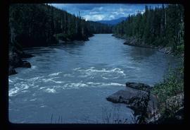
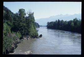
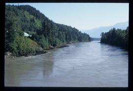
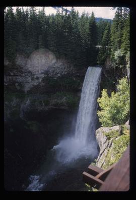
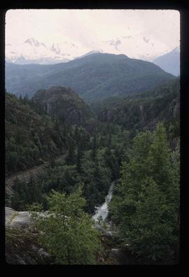
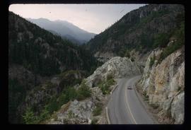
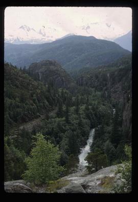
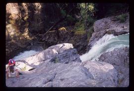
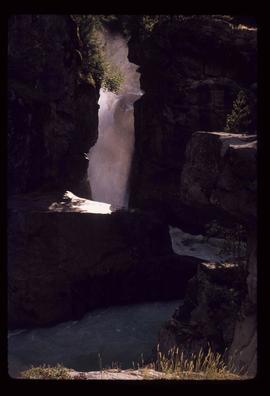
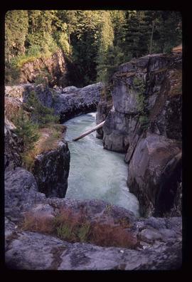
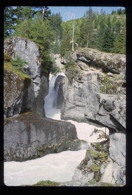
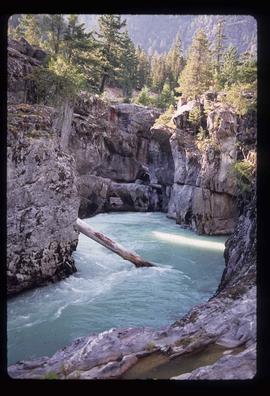
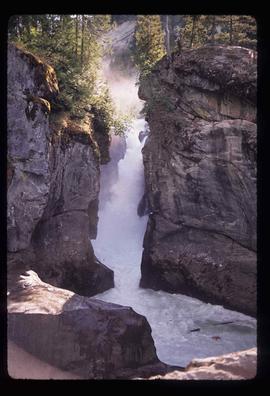
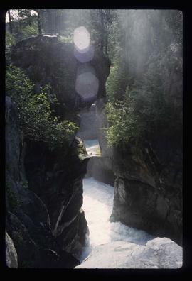
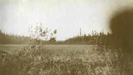
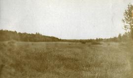
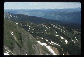
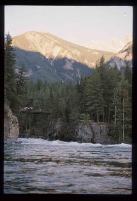
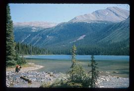
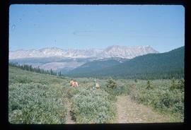
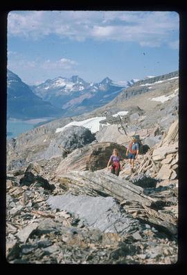
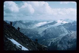
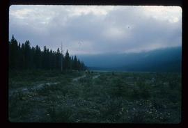
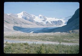
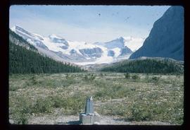
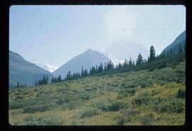
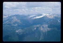
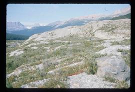
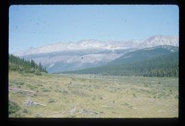
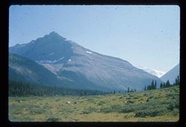
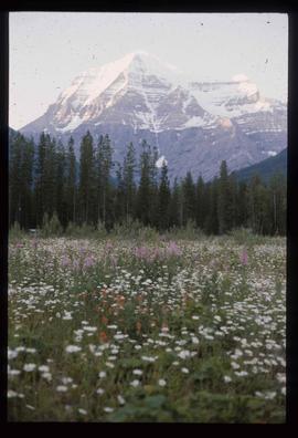
Image depicts a south-west view of the Nass Valley.
Item is an original 1972 map depicting the Nass River in British Columbia, published by the Department of Lands, Forests and Waster Resources of British Columbia.
Image depicts a bridge over the Nass River.
Image depicts the Nass River from a bridge at an uncertain location.
Image depicts what is possibly the Nass River.
Photograph depicts a narrow ocean passage between two rocky points. There are snow peaked mountains in the distance.
File contains slides depicting Nanaimo and the Pacific Rim.
Image depicts Nairn Falls in Nairn Falls Provincial Park.
Image depicts a view of Nairn Falls Provincial Park.
Image depicts the Nairn Falls in Nairn Falls Provincial Park south of Pemberton, B.C. There is an unknown child sitting on the rocks in the image.
Image depicts the Nairn Falls in Nairn Falls Provincial Park south of Pemberton, B.C.
Image depicts Nairn Falls.
Image depicts the Nairn Falls in Nairn Falls Provincial Park south of Pemberton, B.C.
Image depicts Nairn Falls.
Photograph depicts looking across a muskeg meadow.
File contains slides depicting Pine Pass and Murray Ridge, B.C.
Image depicts a man sliding down the remaining snow on Murray Ridge.
Image depicts an unknown individual and some snow located somewhere along the Murray Ridge.
Image depicts the back of a man looking out over Murray Ridge.
Image depicts a view of Murray Ridge.
Image depicts a muddy back road and an old shack at an uncertain location.
Image depicts a rail road bridge over the Mud River.
File contains slides depicting Mud River.
Image depicts the Mud River.
Image depicts a river somewhere in Mt. Robson Provincial Park, with a bridge running over it. The slide itself is labelled "Robson station."
Image depicts an unknown individual crouching by a lake somewhere near Mt. Robson.
Image depicts a group of hikers somewhere in the Mt. Robson Provincial Park.
Image depicts a pair of hikers and a view of Mt. Robson Provincial Park.
Image depicts a view of Mt. Robson Provincial Park, with a group of hikers hiking up a mountain side in the foreground.
Image depicts a group of hikers somewhere in Mt. Robson Provincial Park.
Image depicts a glacier somewhere in Mt. Robson Provincial Park.
Image depicts a range of mountains in the Mt. Robson Provincial Park.
Image depicts a view of Mt. Robson Provincial Park.
Image depicts the peak of Mt. Robson.
Image depicts a view of the Berg Lake and Glacier on the slope of Mt. Robson.
Image depicts Mt. Robson.