2012.13.1.91.04
·
Item
·
Oct. 1978
Part of J. Kent Sedgwick fonds
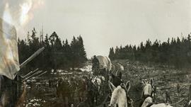
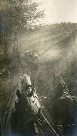
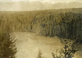
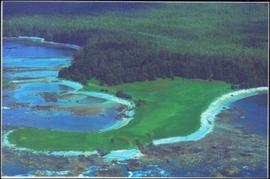
Image depicts a section of forest located somewhere in the Peace River Regional District of B.C.