2009.6.13.49.0257
·
Item
·
[between 1974 and 1979]
Part of The Honourable Iona Campagnolo fonds
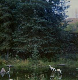
Photograph depicts a pond with pink flamingos and a model boat that is located in Driftwood Canyon near Smithers.