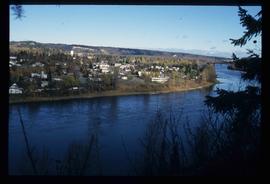
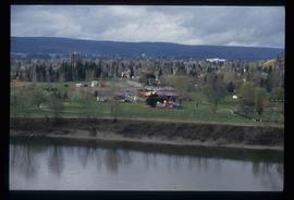
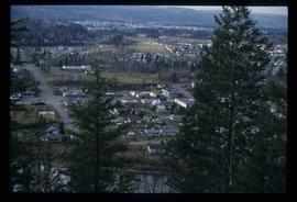
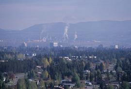
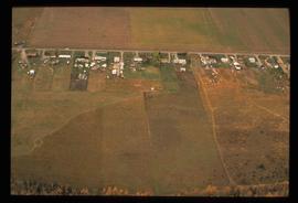
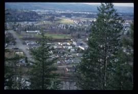
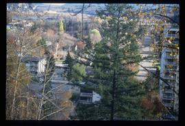
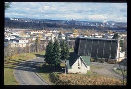
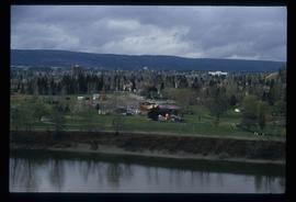
Image depicts a view of Prince George from an uncertain location.
Image depicts a view of Prince George.
Image depicts a view of Prince George.
Image depicts a view of Prince George.
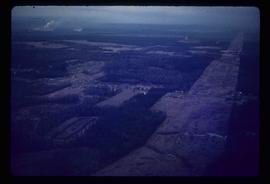
Image depicts an aerial view of what is possibly an outlying area of Prince George, B.C.
Image depicts a view of Prince George.
Image depicts Prince George, possibly with the Northwood Pulpmill in the background.
Image depicts Prince George with numerous trees obscuring most of the view.
Image depicts Prince George.
Image depicts a view of Prince George.
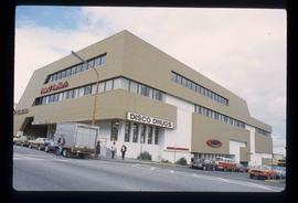
Image depicts the Pride O' the North shopping mall in Prince Rupert, B.C.
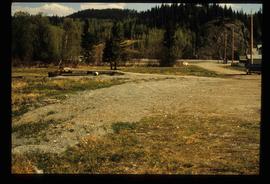
Previous site of sawmill in Giscome, B.C. looking northwest. Map coordinates 54°04'19.7"N 122°22'04.7"W
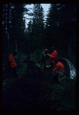
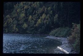
File contains slides depicting scenery at various locations.
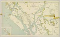
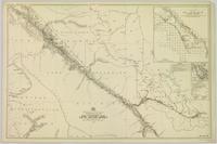
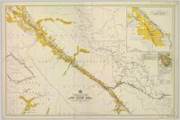
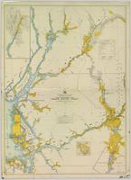
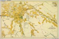
Colour-coded map depicting lands surveyed as alienated, reserved, and having a timber license, lease, or sale. Depicts land recording divisions, land district boundaries, communities, bodies of water, and transport routes. Includes insets of Stephens Island and Egeria Reach.
Item is an original 1919 pre-emptor's map of Tete Jaune, published by the British Columbia Department of Lands.
This photocopy of a 1911 pre-emptor's map depicts land parcels in the vicinity of the Fraser River, Salmon River, and Willow River in the Fort George and Peace River areas.
Item is an original 1935 pre-emptor's map of Quesnel, published by the British Columbia Department of Lands.
Item is a photocopied 1949 pre-emptor's map of Fort George, published by the British Columbia Department of Lands.
Item is an original 1943 pre-emptor's map of Fort George, published by the British Columbia Department of Lands.
Item is a photocopied 1930 pre-emptor's map of Fort George, published by the British Columbia Department of Lands.
Item is a photocopied 1930 pre-emptor's map of Fort George, published by the British Columbia Department of Lands.
Item is a photocopied 1923 pre-emptor's map of Fort George, published by the British Columbia Department of Lands.
Item is a photocopied 1915 pre-emptor's map of Fort George, published by the British Columbia Department of Lands.
Map depicting surveyed lands, statutory timber lands, land recording divisions, game reserves, communities, bodies of water, and transport routes. Includes inset of McBride townsite.
Colour-coded map depicting surveyed lands respectively open and closed to preemption. Depicts land recording divisions, game reserves, communities, bodies of water, and transport routes. Includes inset of McBride townsite.
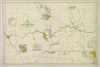
Colour-coded map depicting lands open for preemption, in “University Reserve,” or reserved for public auction. Depicts land recording divisions, communities, bodies of water, and transport routes.
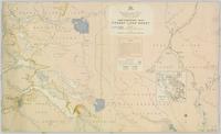
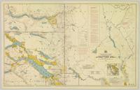
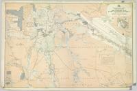
Colour-coded topographic map depicting lands surveyed as alienated, reserved, or statutory timber land. Depicts land district boundaries, land recording divisions, HBC posts, triangulation stations, telephone lines, communities, bodies of water, and transport routes. Defines resource type areas (“Land Form,” “Soil,” “Forest Cover,” “Grazing,” “Geological & Mineralogical,” “Fur-Bearing Animals & Game”). Includes explanatory “Natural Resources Reference.”
Colour-coded map depicting surveyed lands respectively open and closed to preemption. Depicts land recording divisions, land district boundaries, government reserves, communities, bodies of water, and transport routes. Includes topographical inset.
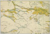
Colour-coded topographic map depicting lands surveyed as alienated, reserved, or open to preemption. Depicts land districts, land recording divisions, communities, bodies of water, communication lines, and transport routes.
Colour-coded map depicting surveyed lands alienated, reserved, in B.C. Land Settlement Board Area, or open for preemption. Depicts land districts, land recording divisions, communities, bodies of water, transport routes, and communication lines.
Colour-coded map depicting lands open for pre-emption, lands in “University Reserve,” and lands reserved for public auction. Depicts land recording divisions, communities, bodies of water, transport routes, and game reserves.
Colour-coded map depicting lands surveyed as alienated, reserved, Statutory Timber Lands, B.C. Land Settlement Board Area, or open for pre-emption. Depicts land districts, land recording divisions, communities, game reserves, bodies of water, transport routes, and communication lines.
File consists of notes and reproductions relating to pre-emption crown land grants between 1869 until 1912 in British Columbia, primarily in Prince George. File primarily consists of printed copies of pre-emptor maps of Prince George and region from the Royal BC Archives and Museum.
Image depicts power lines east of the pulp mills in Prince George, B.C.
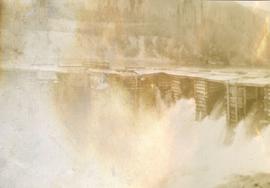
Photograph depicts a power dam near Cascade, BC.
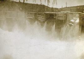
Photograph depicts a power dam near Cascade, BC.
File contains postcards portraying life in Prince Rupert, B.C. Images depict harbour scenes, street scenes (Third Avenue, Sixth Street, Central Street, and Mainstreet), airplanes, large ships, fisheries, city aerials, parades, military, a dog sled mail team, and a frozen fishing boat.
File contains postcards portraying life in Prince George, B.C. Images depict street scenes (George Street, Central Avenue, and Hamilton Avenue), government buildings, Hotels, a theatre, a baseball game, and construction of a pier.
File contains postcard photographs portraying life in various Northern BC Communities. Images depict buildings and streets, church structures, harbours and docks, and views of the shore from the water to name a few.
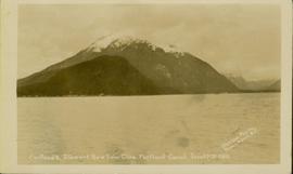
Photograph of a mountain on the waterfront. Annotation on recto reads: "Portland & Stewart. New Twin Cities. Portland Canal. June 17th 1910. Button Photo. Prince Rupert, BC."
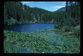
Image depicts numerous lily pads on the surface of Portal Lake, located near the Yellowhead Pass on the British Columbia-Alberta border, west of Jasper, A.B.
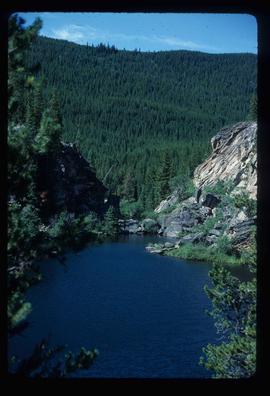
Image depicts Portal Lake, located near the Yellowhead Pass on the British Columbia-Alberta border, west of Jasper, A.B.
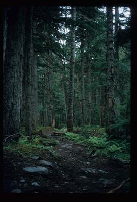
Image depicts the path taken during the portage to McCleary Lake.
Image depicts the canoe group portaging to Indianpoint Lake.
Image depicts the North end of Portage Lake.
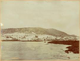
Photograph depicts Port Simpson in winter. Water and shoreline in foreground, hill in distance.
Handwritten photo caption below image reads: "Port Simpson".
Consists of copies of lot plans, a blueprint of the townsite of Port Essington, and an article on Port Essington from the 15 November 1984 edition of the Prince Rupert Daily News.
"Port Essington: A Town Remembered" consists of copies of 4 black & white photographs of Port Essington, taken in October 1984 by Nancy Robertson, and published on page 13 of the 15 November 1984 edition of The Daily News, Prince Rupert's newspaper. The page caption reads as follows : "Port Essington : a town remembered - These photos are from an aging Port Essington taken in the fall month of October by photographer Nancy Robertson. Once a thriving community, Port Essington stands derelict at a Skeena estuary with only occasional visitors."
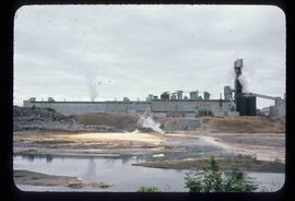
Image depicts a pulp mill in Port Edward, B.C.
