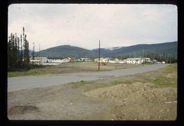
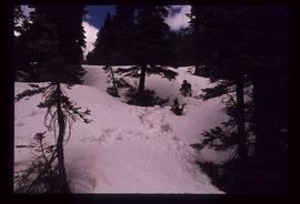
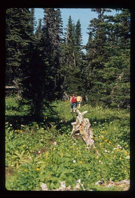
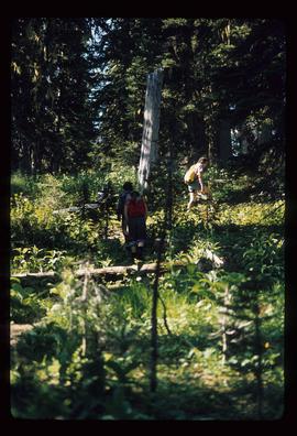
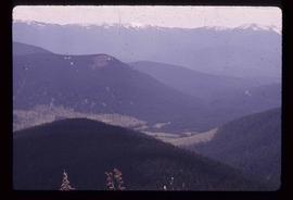
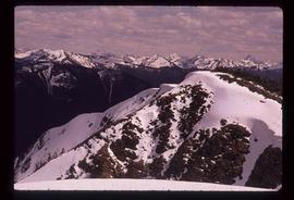
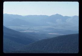
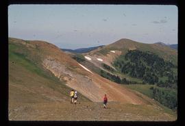
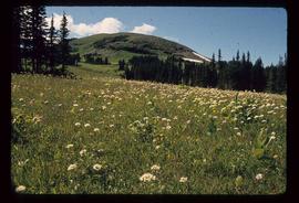
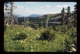
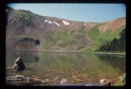
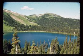
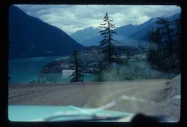
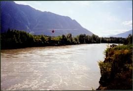
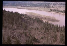
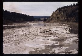
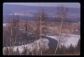
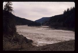
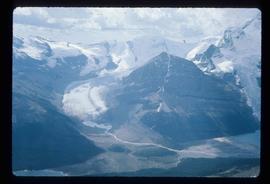
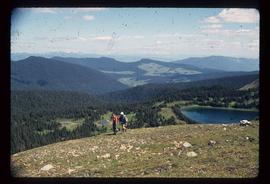
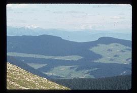
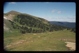
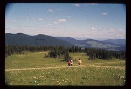
Image depicts a river on the left of the image and a range of mountains in the distance, located somewhere near Bralorne, B.C.
Photograph depicts wide river with forest shores on either side. Power lines in foreground, mountain in background.
Image depicts a man in a canoe on a river somewhere in South Tweedsmuir Provincial Park. The man is possibly Kent Sedgwick.
Image depicts a canoe on a river somewhere in South Tweedsmuir Provincial Park.
Image depicts what is possibly a section of the Tseax River.
Image depicts a river and a hillside at an unknown location.
Image depicts a river, possibly the Nechako, in Prince George, B.C. Possibly taken from the Foothills Bridge.
Image depicts a river at an uncertain location.
Image depicts a river, possibly the Fraser, at an uncertain location.
Image depicts a river at an uncertain location.
Image depicts the "Riske Creek General Store" in Riske Creek, B.C.
Image depicts Riske Creek, B.C. The brown building on the left is the local school.
Image depicts the Esso gas station in Riske Creek, B.C.
Item is a map depicting the revised site plan for the Salmon Valley Ranch created by Trelle Morrow, architect.
File contains slides depicting Revelstoke.
Handwritten annotation on recto of photograph: "RETAINING WALL POUR JULY 9/64." Photograph depicts construction workers among machinery near retaining wall under conveyor of crusher building. Crane stands on left, front end loader and back hoe tractor in foreground on right. Mountainside in background.
Handwritten annotation on recto of photograph: "RETAINING WALL POUR JULY 9/64." Photograph depicts two construction workers standing on retaining wall in foreground. Two other men stand near a crane operating in midground, with its load suspended above men on wall. Crane stands on road between a building and retaining wall, mountain range in background.
Overhead view of many residential buildings in Prince Rupert, BC. Veiled mountains are visible in the background. Printed annotation on recto reads: "'Residential Section' Prince Rupert. B.C. F. Button Photo. Prince Rupert. BC 119."
Image depicts a residential area with a playground somewhere in Mackenzie, B.C.
Kent Sedgwick’s research subject files contain original research notes, interviews and oral histories, news clippings, and collected primary and secondary sources. The series also includes both original and reproduction photographs, audio recordings, and maps. The subject files primarily relate to the history, urban planning, and historical geography of the Central Interior of British Columbia, especially Prince George area and the East Line communities over the course of the 20th century. They also include extensive notes on geographic features, landscapes, interpretative trails, architectural history, industrial history, history of Western exploration and land survey, and the First Nations history of the region.
File consists of the following materials:
- Letter to Vernon C. Brink from the National Archives of Canada re: Knox McCusker holdings (March 1, 1999)
- Photocopy of article: "Living Landscapes: Exploring the wilds of northeaster BC" by Ross Peck and Brian Apland
- Some materials for an article on Knox McCusker, D.L.S.
- Material about the life of Knox Freeman McCusker
- Letter to Mrs. Rutherford (Oct. 5, 1999) re: access to interview of Knox McCusker by Frank Willis
- Accession information print-out re: interview of Knox McCusker by Frank Willis in 1954
- National Archives of Canada accession information print-out re: Dominion Land Surveyor Diaries, 1881-1930
- Mary Henry / Knox McCusker "Team" (April 19, 1998)
- Letter to Mrs. Rutherford from George Ungar re: background information on Knox McCusker
File consists of letters relating to the Regional District of Fraser-Fort George geographical authority and heritage inventory. Includes: "Valemount Train Station" typed letter from Russell J. Irvine, the director of the Regional District of Fraser-Fort George, to Kent Sedgwick regarding the Valemount train station and ranch buildings at Mount Robson and applications for heritage trust (27 July 1982); "Heritage in Mackenzie" typed letter from the District of Mackenzie to Mr. Trimmer, the secretary of the Heritage Advisory Committee regarding heritage sites in Mackenzie (17 Apr. 1979); "Regional District" typescript document that is a list of heritage sites in the Regional District of Fraser-Fort George area; and "Fraser-Fort George Regional District" pamphlet depicting a map of the regional districts geographic area and list of authority districts.
Item is an original 1985 map depicting Red Rock area of British Columbia, published by the Department of Energy, Mines and Resources. The map includes pen markings.
Photograph of several log buildings in a forested area at Red Cliff mine. Printed annotation on recto reads: "Red Cliff Buildings Hughes 86."
File contains slides depicting numerous recreational locations from various places in Canada.
Image depicts what appears to be a receding glacier on the slopes of Mt. Robson.
Image depicts the Rearguard Falls in Rearguard Falls Provincial Park near Tête Jaune Cache along the Yellowhead Highway.
Photograph depicts a large semicircle of tethered horses. Loaded packs are arranged near each horse. Men, boys and a border collie are in the foreground, low mountains in the background.
Fonds consists of photographs, scrapbooks of newspaper clippings and memorabilia, correspondence, reports and other textual material. The photographs relate to Mr. Williston’s life from childhood to the late 1990s, the scrapbooks document Mr. Williston’s years in political office, and the textual materials relate to both Mr. Williston’s public life and private interests.
Williston, Ray GillisItem is a photograph of Mr. Williston and his son Dr. Hubert Williston in May 1967 canoeing down the Parsnip / Peace system before the W.A.C. Bennett Dam flooded the area.
Item is a photograph of Ray Williston and Bruce Brown with a bicycle.
Image depicts an individual sliding down a snowy trail somewhere Raven Peak.
Image depicts several individuals walking the Raven trail.
Image depicts a view of the area surrounding Raven Peak.
Image depicts Raven Peak in the Sugarbowl Grizzly Den Protected Area located on Highway 16 east of Prince George, B.C.
Image depicts a woman standing on the porch of a hut located by Raven Lake.
Image depicts a view of the area surrounding Raven Lake.
Image depicts several individuals hiking in the area surrounding Raven Lake.
Image depicts several individuals hiking in the area surrounding Raven Lake; the lake is visible in the background.
Image depicts a view of the area surrounding Raven Lake.
Image depicts several individuals hiking in the area surrounding Raven Lake.
Image depicts a small section of the area surrounding Raven Lake.
Image depicts a view of Raven Lake in the background.
Image depicts Raven Lake.
File contains slides depicting Raven Lake and its surrounding areas.
Image depicts a view of Raven Lake.