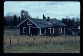
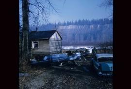
Image depicts an old log house with a collapsing roof in Salmon Valley.
File consists of "Salmon Studies Associated with the Potential Kemano II Hydroelectric Development - Volume 7: The Economic and Social Impact of the Kemano II Hydroelectric Project on British Columbia's Fisheries Resources" by William Sinclair.
File consists of "Salmon Studies Associated with the Potential Kemano II Hydroelectric Development - Volume 6: Hydrographical Studies Associated with Salmon in the Nanika and Morice Rivers" by R.A. Robertson, B.R. Eliasen, and O.K. Johansen.
File consists of "Salmon Studies Associated with the Potential Kemano II Hydroelectric Development - Volume 5: Salmon Studies on Nanika and Morice Rivers and Morice Lake" by Bruce Shepherd.
File consists of "Salmon Studies Associated with the Potential Kemano II Hydroelectric Development - Volume 4: Limnology of Morice Lake" by T.R. Cleugh and B.C. Lawley.
File consists of "Salmon Studies Associated with the Potential Kemano II Hydroelectric Development - Volume 3: Chinook Salmon Studies on the Nechako River". Annotated by Gordon Hartman.
File consists of "Salmon Studies Associated with the Potential Kemano II Hydroelectric Development - Volume 2: Sockeye Salmon Studies on the Nechako River". Annotated by Gordon Hartman.
File consists of "Salmon Studies Associated with the Potential Kemano II Hydroelectric Development - Volume 1: Summary". Annotated by Gordon Hartman.
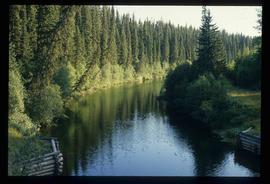
Image depicts the Salmon River by Fraser Lake.
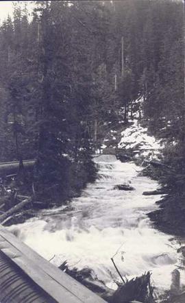
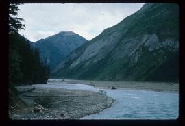
Photograph depicts a landscape shot of rushing water with a forested area in the background.
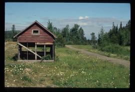
Image depicts a small, ruined shed somewhere in the Okanagan Kettle Valley.
Image depicts several old, ruined cars and an unknown individual in Island Cache.
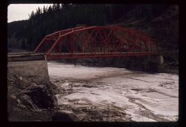
Image depicts a small foot bridge at an unknown location. The slide is simply labelled "Rudi's Bridge."
Annotation on slide: "CP 57 Lower Burnt, January 1992, Rubber-tired skidder on road, R-O-W in advance regen, Dawson Crk district"
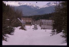
Image depicts two rows of houses in an unknown location.
Footage of two people, Doris and Jerry, in a rowboat on a lake.
Speculated locations include Anahim Lake, Fenton Lake or Lassard Lake.
Photograph depicts rough water breaking over the bow of a weather ship.
File consists of a reprint from the Canadian Journal of Fisheries and Aquatic Sciences (vol. 47) by Shirvell entitled "Role of Instream Rootwards as Juvenile Coho Salmon (Oncorhynchus kisutch) and Steelhead Trout (O. mykiss) Cover Habitat Under Varying Streamflows".
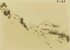
Photograph depicts a rocky mountain slope covered in snow.
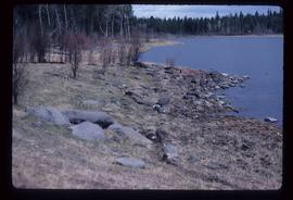
Image depicts the rocky shore of an unidentified body of water, possibly near Meldrum Creek, B.C.
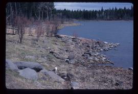
Image depicts the rocky shore of an unidentified body of water, possibly near Meldrum Creek, B.C.
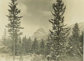
Photograph depicts a Rocky Mountain vista seen through a snow-covered forest.
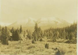
Photograph depicts a Rocky Mountain vista seen across a forested plateau.
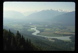
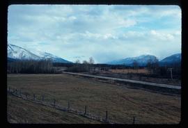
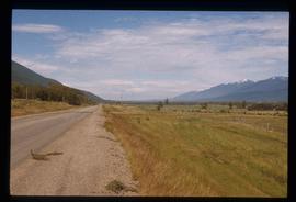
Image depicts a view of the Rocky Mountain Trench somewhere near McBride, B.C.
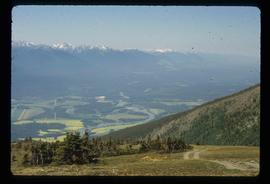
Image depicts the Rocky Mountain Trench from McBride, B.C.
Image depicts the Rocky Mountain Trench from McBride, B.C.
Image depicts a view of an area somewhere near McBride in the Rocky Mountain Trench.
Image depicts the Rocky Mountain Trench from McBride, B.C.
Image depicts a view of the Rocky Mountain Trench somewhere near McBride, B.C.
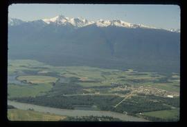
Image depicts a view of McBride in the Rocky Mountain Trench.
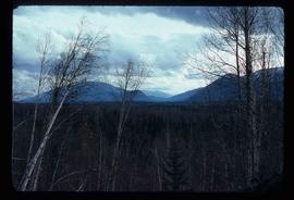
Image depicts a heavily forested area located in the Rocky Mountain Trench, possibly near Dome Creek or Lamming Mills, B.C.
Image depicts a heavily forested area located in the Rocky Mountain Trench, possibly near Dome Creek or Lamming Mills, B.C.
Image depicts a view of the Rocky Mountain Trench.
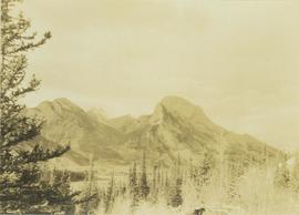
Photograph depicts the Rocky Mountain range visible from above distant tree tops.
File contains slides depicting areas in and around the Rockies, Icefield Highway, and Jasper, Alberta.
Photograph depicts truck at reject plant in foreground. Mine road can be seen leading to plant in centre background, town in right background. South mountain range visible in distance. Handwritten annotation on recto of photograph: "June 1970 / Looking South across Rock Reject Tailings / Note Southern direction of conveyor [?] towards No 1 Gully. Tom Kiefer".
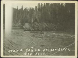
Photograph depicts men on river scow, large rock island or peninsula protruding into river behind them. Trees on opposite shore in background, large rock in foreground. Handwritten annotation on verso of photograph: "Grand Canyon. Fraser River. Big Rock.", on recto of copy print: "1911."
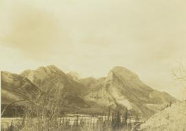
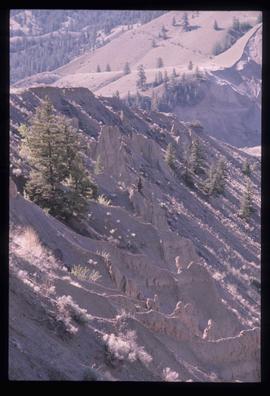
Image depicts ridge-like rock formations at an uncertain location, though possibly somewhere near the Fraser River.
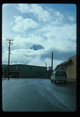
Image depicts the peak of the Rocher de Boule mountain from Hazelton, B.C.
Photograph depicts Roche Myette along Davona Creek near a campsite.
Footage of Robson feeding his deer. The location of the filming is believed to be Robson's home in Bella Coola.
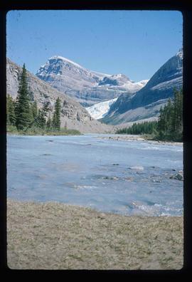
Image depicts what is possibly the Robson River.
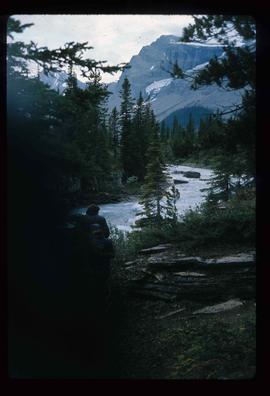
Image depicts a river, possibly the Robson River.
Image depicts what is possibly the Robson River.
Footage of Robson and Josephine with their domesticated deer. The location of the filming is believed to be in Bella Coola or in the Atnarko region.
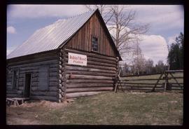
Image depicts an old log cabin with the sign "Robin Hood Flour" on it at an uncertain location. It is possibly at the 153 Mile House.
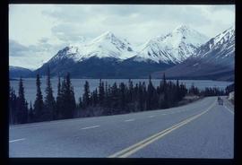
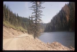
Image depicts the road to Skagway, Alaska. Possibly located on the Klondike Highway in British Columbia with Tutshi Lake on the left.
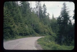
Image depicts a road leading to Prince Rupert, B.C.
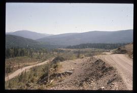
Image depicts the dirt road leading to Keithley Creek.
Image depicts the dirt road leading to Keithley Creek.
