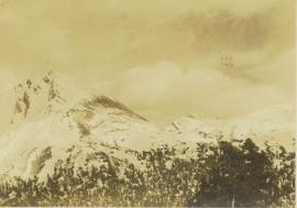
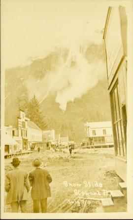
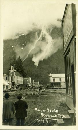
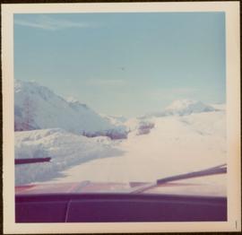
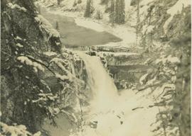
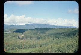
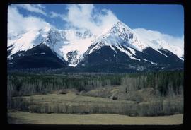
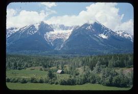
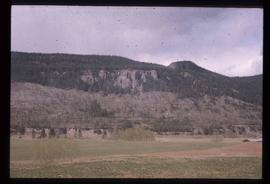
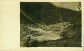
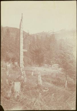
Image depicts what appears to be a Ranch at Soda Creek, B.C.
Image depicts the ferry at Soda Creek, B.C.
Image depicts a bridge at Soda Creek, B.C. There are numerous unknown individuals present.
Image depicts rail road tracks through a forest, as well as a river; located in Soda Creek, B.C.
Image depicts a forest and river in Soda Creek, B.C.
File consists of notes and reproductions relating to Soda Creek, BC. Also includes photographs depicting Soda Creek (2006).
Photograph depicts a snow-covered mountain slope with trees at the base of the mountain.
Mountains visible in background.
Image depicts a snow-covered road with vehicle tracks, and several houses. The location is uncertain.
Image depicts a road covered in snow running through the woods at an uncertain location.
Image depicts a snowy road at an uncertain location.
Image depicts Snowpeak above Longsworth B.C.
Image depicts a snow-covered road at an uncertain location.
Photograph depicts snow covered mountain peaks seen through a mountain pass near Jasper Park.
Image depicts an unidentified individual setting up some sort of pole in the snow for a process the slide labels as "snow sounding." The location is uncertain.
Street view photograph of two individuals watching the snow slide down one of the mountains surrounding Stewart, BC. Printed annotation on recto reads: "Snow Slide Stewart B.C. July 7/11."
Image depicts a snow gauge at an uncertain location.
Photograph taken from interior of vehicle, dashboard visible in foreground. Snow on either side of highway stands at extreme height.
Photograph depicts snowy area.
Photograph taken from interior of vehicle, dashboard visible in foreground. Mountains and forest visible in background.
Photograph depicts a river leading into a waterfall amidst snow-covered trees.
Image depicts a view of the scenery between Smithers and Telkwa, B.C.
Image depicts a mountain in Smithers, B.C.
Image depicts a view of what appears to be a small town at an uncertain location.
Photograph depicts a small totem pole in front of trees and a roadway. Photographer’s stamp on verso: “W.E. Nicholson, 268 E. 10th, Vancouver 10, B.C.”
Image depicts a river at an uncertain location in either the Lillooet or Kamloops area.
Image depicts a small mountain at an unknown location. The slide is labelled "basalt" for an unknown reason.
Photograph depicts reeds and marsh grasses in the foreground, a beaver house at center of photograph with open water and treed shoreline in the distance.
Photograph depicts the bow of a boat in the foreground, a wide shallow channel extending beyond the boat perhaps opening to a lake beyond. Treed forest on the far shore, a lone mountain peak in the distance.
Image depicts a small lake somewhere in Mt. Robson Provincial Park.
Image depicts an aerial view of what appears to be a small farm, possibly in the McGregor Canyon.
Photograph of a small creek traveling through several rocky embankments.
Child stands in distance beside tall totem pole. Tree stumps in foreground, forest and mountains in background.
Handwritten annotation on verso reads: "[Sanabati near Upper Queen?] Kasaan Alaska".
Image depicts the location of a slump type of landslide at Moose Heights, north of Quesnel, B.C.
Image depicts an aerial view of a section of land, likely near the Fraser River, that is possibly either a slump or part of a mining operation. The slide is labelled "slump or mining."
Image depicts what is likely a slump slide at an unknown location.
Image depicts an unknown individual standing near what is most likely a slump slide at an uncertain location.
Image depicts two unknown individuals standing near what is most likely a slump slide at an uncertain location.
Image depicts an unknown individual standing next to what appears to be a slump type of landslide at an unknown location.
Image depicts a slug on the forest floor somewhere on Haida Gwaii.
Image depicts a few unknown individuals canoeing in a slough area while on approach to Bowron Lake.
Image depicts a slough area while on approach to Bowron Lake.
Image depicts the slopes of Tabor Mountain in Prince George, B.C.