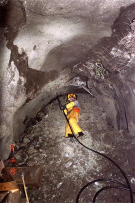
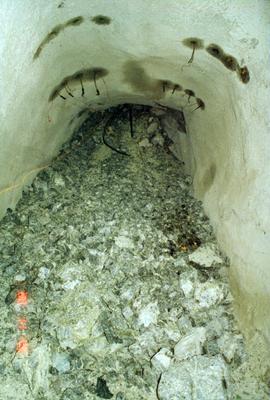
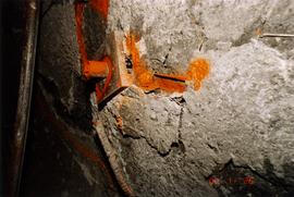
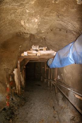
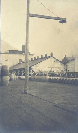
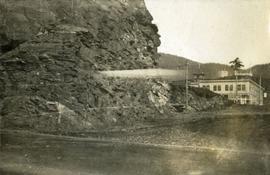
Series consists of plans, articles, and clippings regarding structures built by railways (with the exception of bridges and stations) in British Columbia. Includes information about engine houses, roundhouses, turntables, water delivery structures, fuelling facilities, freight houses, ice storage shed, tunnels, and other railway structures.
Photograph depicts the Cassiar mine after extensive strip mining. It is believed that the North and South peak stand in background, and the West peak in foreground. Handwritten annotation on recto of photograph: "1971".
Photograph depicts benches from strip mining operations at the Cassiar mine. Haul trucks and equipment believed to be used for explosive purposes can be seen in mine. Shop and mountain range visible in background. Handwritten annotation on recto of photograph: "Cassiar, BC / June 1970 / by Tom Kiefer". Image consists of three photographic prints adhered together to form one comprehensive panoramic.
Photograph depicts the Cassiar mine. North peak featured in left background, South peak in right background, and West peak in right foreground. Area to left of the mining pit and West peak was called the "cirque waste dump." Location of new mine garage can be seen just above the "#7 switchback" road in bottom right foreground.
Photograph depicts the Cassiar mine. North peak featured in left background, South peak in right background, and West peak in right foreground. Area to left of the mining pit and West peak was called the "cirque waste dump." Mountain range visible in distance.
Igneous rock formations, Nunavut
Photograph depicts a bear skin stretched on a frame. Handwritten annotation below photograph read, "a black bear skin".
Photograph believed to have been taken at Terrace Gardens, Government House, Victoria, B.C.
Boy stretched out on bed of <i>Cladonia</i>, Yukon Territory
Yellow spider stretching a leg on a branch
File consists of an article by Weller titled "Strengthening Society I: Health Policy" as well as correspondence concerning the publication of the article and other related material. This file was originally numbered to correspond with article number 51 listed in Weller's CV.
View of large houses on hill and city streets below. Printed annotation on recto reads: “Prince Rupert Residences on Cliff Which Runs Thru the Heart Of the City”.
Trip to England [Devon, Plymouth, Cornwall]
Slightly elevated street view of several Prince Rupert storefronts. A large pile of rubble is visible on the left of the photograph. Printed annotation on recto reads: " Prince Rupert BC." Handwritten annotation on recto reads: " July 29, 1922."
Slightly elevated street view of a large pile of rubble next to several storefronts in Prince George. Printed annotation on recto reads: "Prince Rupert BC."
Street view down Centre Street in Prince Rupert, BC. Printed annotation on recto reads: "Centre Street, Prince Rupert, B.C. 1664." Handwritten annotation on verso reads: "Minnie sent a parcel to you by express to-day- some things you left behind you. I hope you and Bertie had a good trip up. Florrie and the children will leave on the morning train. All are pretty well and send their love to you. Harrie." Postcard is addressed to: "Miss M.V. Beattie Enderby, B.C." Verso is affixed with a two cent Canadian stamp. Postmarkson recto and verso are illegible.
Photograph is a printed postcard depicting a wagon track between buildings situated on either side. There are mountains in the back ground. Possibly Stewart, BC.
The item is a photograph of a street view looking west down 3rd Avenue Prince George. The Brick, Liquidation World, the TD building and other commercial businesses are visible.
The item is a photograph of a street view looking west down 3rd Avenue, Prince George. Royal Dry Cleaners, the TD building and other various commercial businesses are visible.
The item is a photograph of a street view looking west down 3rd Avenue Prince George. The TD building and various other commercial businesses are visible.
The item is a photograph of a street view looking east down 3rd Avenue Prince George. Various commercial businesses are visible.
The item is a photograph of a street view looking east down 3rd Avenue Prince George. The Brick, Liquidation World, Home Hardware and various other commercial businesses are visible.
The item is a photograph of a street view looking east down 3rd Avenue from Dominion Street in Prince George. Various commercial businesses are visible.
This photographic reproduction from the BC Provincial Archives is captioned: "Prince George District - Another 'town' - Mile 129, BC - Summer 1913". In August 1913, Foley, Welch and Stuart, railway contractors, moved their distribution depot from Tete Jaune to Mile 129, in the vicinity of present day Loos, BC.
Wales, Great Britain
Image depicts a street of houses somewhere in Prince George, B.C.
Item is an original 1988 street map of Greater Vancouver in British Columbia published by Alco Maps Ltd. in North Vancouver.
Photograph depicts a street lamp on a wooden deck with barrels and a canvas-covered building in the background.
Photograph depicts four men and small cart standing in street, lines of log buildings on either side. Tents can be seen at end of left side of street. First building on left is larger, with the sign "STOPPING PLACE". Trees cross midground, mountains stand in background. Handwritten annotation on verso of photograph reads: "Tete Jaune Cache. B.C."
Street scene in Prince George B.C. Several Union Jack flags are visible and there is a celebration banner at the end of the street. Long shadows in photo indicate summer (perhaps Dominion Day?). River in foreground, railroad and city in mid ground and hill in background. Printed annotation on recto reads: “Prince George. B.C.”
Image depicts a street in Giscome B.C. The Giscome Store is located on the left side of the image with the church in the background. Map coordinates 54°04'18.5"N 122°21'57.7"W
Image depicts a street in Giscome. The store was previously located on the left. The church is in the background. Map coordinates 54°04'18.5"N 122°21'57.7"W
Photograph depicts view of street showing that a large hill of rock has been cut through to allow for construction of roadway.
View of the road descending to the waterfront. Buildings and forested area are visible on either side of street. Annotation on recto reads: "Prince Rupert BC. '07."