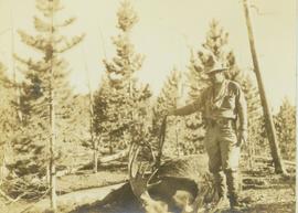
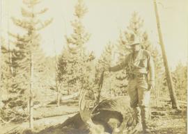
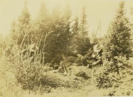
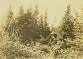
2012.13.1.060
·
Subseries
·
1973
Part of J. Kent Sedgwick fonds
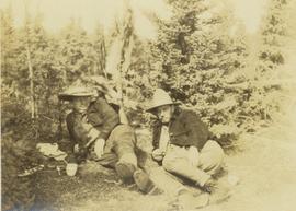
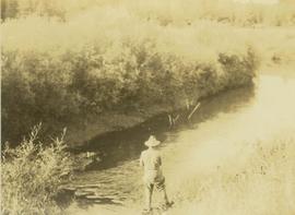
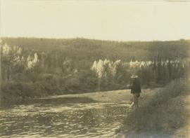
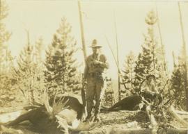
File contains slides depicting images of areas in the Carp Lake Provincial Park.