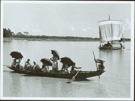
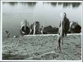
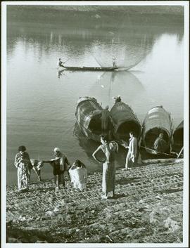
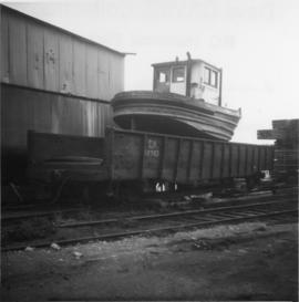
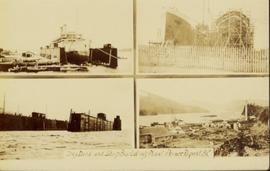
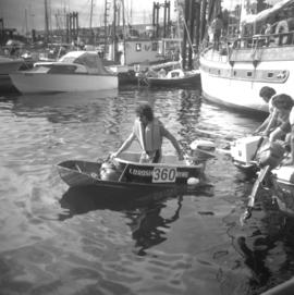
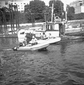
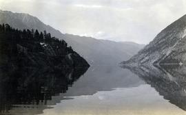
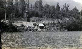
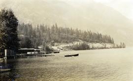
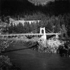
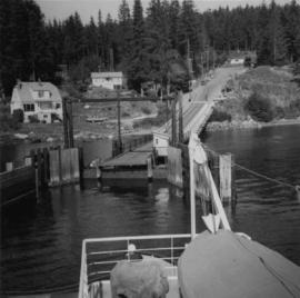
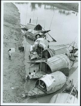
Item is a photograph of people and boats on the shore of a river.
Item is a photograph of people climbing on top of a bus.
Item is a photograph of people in a boat on a river with another boat in the background.
Item is a photograph of people and boats on a river’s edge.
Item is a photograph of a man pulling a furniture laden cart along a road.
Item is a photograph of a fishing boat with the net deployed with other boats and people on shore.
Item is a photograph of people fishing in a boat with nets.
Item is a photograph of a boy carrying a bundle of books on his head.
Item is a photograph of boats docked on the shore behind piles of grain or straw.
Item is a photograph of a boat under construction.
Item is a photograph of a bicycle repair shop.
Photograph depicts ballasting re-laid new track at the Pacific Great Eastern yards in North Vancouver, beside the Vancouver Wharves Ltd.
Photograph depicts a ballast wagon awaiting demolition at repair shed of the B.C. Electric Railway in New Westminster. The car was built in 1948.
Photograph depicts part of a ballast removal and cleaning special train at the CN Kamloops Junction.
Photograph depicts a ballast packing machine found at the CN Kamloops Junction.
Photograph depicts ballast cars at Squamish, near government wharves and chemical plant. They were built by the Western Wheeled Scrapper Co. in Aurora, Illinois and do not have a date.
Image depicts a boat on Babine Lake, taken from Granisle, B.C.
Photograph depicts an AVRO 504K fighter and biplane rainer of the RCAF, dated 1919.
Photograph depicts a wood and fabric AVRO 504K fighter, built in 1919. It was first developed in Britain in 1913. Now powered by Clerget Rotary. The fighter was used by the RCAF as a biplane trainer until 1928. This type was also used as crop duster, stunt machines, etc.
Photograph depicts avenger torpedo bombers that were purchased in 1958 and were owned by Skyway Air Sevices of the Abbotsford Airport. There were 14 avengers owned at the time the photograph was taken.
Image depicts a glacier on the side of a road at an uncertain location; the slide labels it as "avalanche glac."
Photograph depicts an auto special at New Westminster, travelling west to McPherson Ave. industrial estate in south Burnaby.
Image depicts what is possibly Atlin Road. Numerous mountains are visible in the distance.
Image depicts a boat named "the Tarahne," which is located in Atlin, B.C. Atlin Lake and Mountain are visible in the background.
Image depicts old machinery, at the Atlin Museum in Atlin, B.C.
Image depicts an old boat on the shore of Atlin Lake.
Image depicts numerous old buildings on a main street in Atlin, B.C.
Photograph depicts a boom tug called "Atlas Captain" that was brought in for refitting, adjacent to a smalll boat repair yard. It was loaded on a CN gondola car and then removed by a derrick crane.
Photograph taken on the CNR Okanagan Branch, Mile 21, east of a tunnel near Monte Creek. Dated 1938. Captured at the base of a deep embankment that may have resulted from a washout.
Image depicts Ash Street and Patricia Boulevard in Prince George, B.C.
Postcard featuring a photograph of a photograph of the arrival of the first stage coach at the Hotel Northern in South Fort George, BC on 19 October 1911. Handwritten annotation on recto of photograph reads: “Arrival of first stage at So. Ft. George B.C. Oct. 19, 1911. 28” Printed caption on the recto of the postcard reads: “First stage coach Prince George, B.C.” Handwritten annotation in pen on verso of postcard reads: “Mrs. C. Morris, Box 925, Penticton, BC. Thurs. 6pm, Dear Mother. Arr. Safely, good trip (bad pen!) Lovely weather. Hope all are well. Bia (?) Mary & Ed”
Photograph depicts the ferry from Campbell River approaching the Quathiaski Cove slip on Quadra Island.
Image depicts another train on the White Pass railway along a forested mountain side.
Street view of Third Avenue in Prince Rupert. Many vehicles are parked along the wooden sidewalk. Printed annotation on recto reads: "Third Ave. Prince Rupert. B.C."
Collection of four photographs of the Prince Rupert dry dock. Printed annotation on recto reads: "Dry Dock and Ship Building Plant, Prince Rupert BC."
Photograph depicts the annual Bath-Tub Race that took place in Nanaimo. Visible is a competitor preparing for the start. There were 106 entries in that year.
Photograph depicts the annual Bath-Tub Race that took place in Nanaimo. Visible are rescue and patrol boats that were about to set out.
Photograph depicts a view of Anderson Lake at D'Arcy looking northeast. The Pacific Great Eastern Railway line is visible, including a small railway trestle.
Image depicts a vehicle on a bridge somewhere near Anderson Lake in the Seton Portage area.
Image depicts a view of Anderson Lake near Seton Portage, B.C. A vehicle on a mountain road is also visible.
Photograph depicts an old anchor that had been fished out of Coal Habour, Vancouver. One flulke was bent in towards the shank. Image captured outside the office of Kanata Marine Ways Ltd. (1965).
Photograph depicts one of the entries in the Nanaimo-Vancouver Bath Tub Race. Thre were 2112 entires and there was 32 mile crossing. Only 46 reached the finish line, of which this was one.
Photograph depicts the last lighthouse on the mainlain about a mile south of Ucuelet. It was believed to be the Amphitrite Point Light House.
Photograph depicts a railway water tower, a small building, and a rail line along a lake shore. This is a close-up of the area depicted in image 2020.08.84. The water tank is a typical PGE 25,000 gallon water tank. The station would be a little over 400 feet south of the tank.
Photograph depicts a couple in a row boat (likely the same couple depicted in image 2020.08.59) near Alta Lake shore docks and buildings. A rail line and a railway water tower are visible in the background. The water tank is a typical PGE 25,000 gallon water tank. The station would be a little over 400 feet south of the tank and is hidden by the stand of trees.
Photo depict a disused concentrator of the Granby Mining Company Ltd. Located 5 miles southwest of Princeton and 8 miles east of Copper Mountain ore workings, which are also largely disused. The building of the concentrator commenced in 1917 and the first ore was reduced in October, 1920. Ore cars from workings via the CPR spur entered the snow shed that is visible on the left. Rail track was lifted in 1957.
Photograph depicts the Alexandra Bridge in the Fraser Canyon. It is closed to wheeled traffic and has a grid iron deck. Photo looks east.
Photograph depicts the Alexandra Bridge in the Fraser Canyon. It is closed to traffic but is possible to drive a vehicle across but the road is blocked on the east bank. The bridge is in good condition. Photo looks east.
Photograph depicts the Alexandra Bridge in the Fraser Canyon. The view is looking northeast and depicts the Fraser River running downstream to the right of the photo. There is First Nations salmon net pole in the bottom left-hand corner.