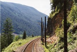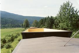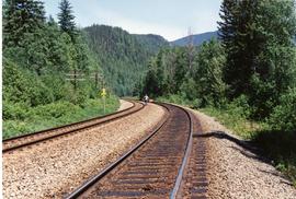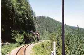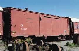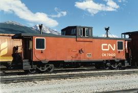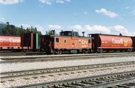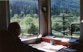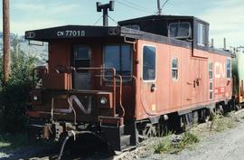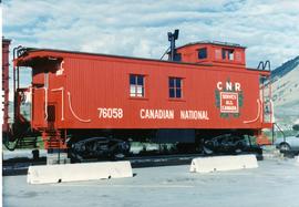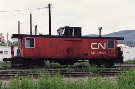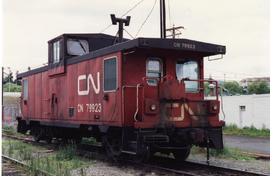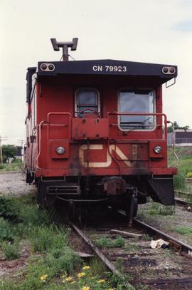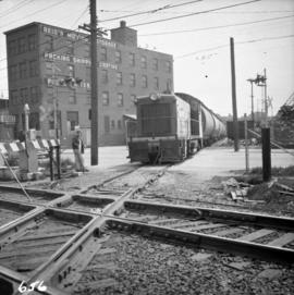
2013.6.36.1.146.14
·
Item
·
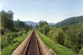
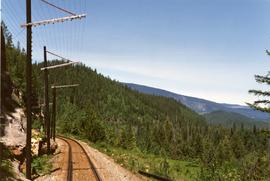
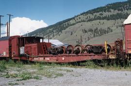
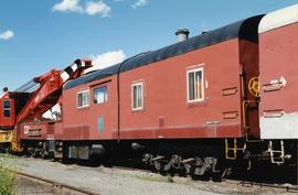
[3 June 1989]
Part of David Davies Railway Collection
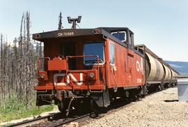
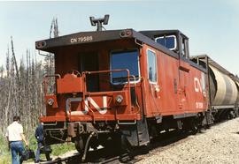
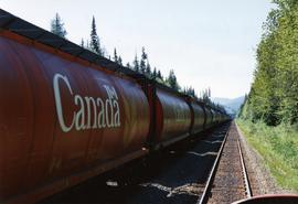
Photograph depicts an empty eastbound grain train.