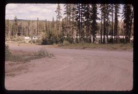
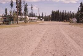
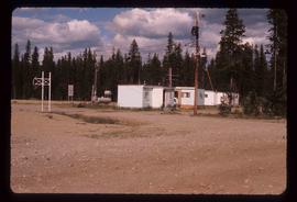
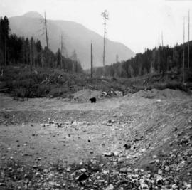
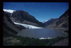
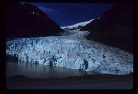
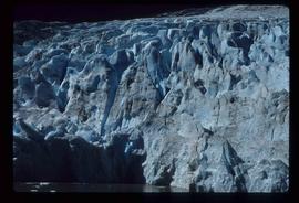
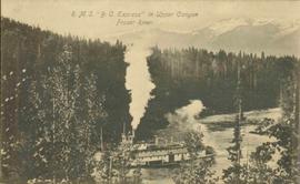
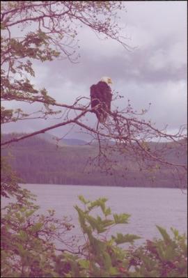
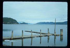
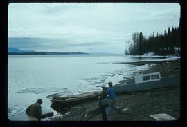
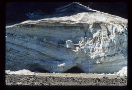
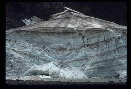
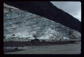
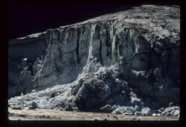
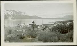
Image depicts a river, possibly near Bear Lake, B.C.
Image depicts a stand of trees in Bear Lake, B.C.
Image depicts some houses in Bear Lake, B.C.
Image depicts some trailers in Bear Lake, B.C.
Photograph depicts a bear at the garbage dump of the Gold River logging camp. Five other bears have retreated to the fire weed and blackened tree stumps.
Photograph depicts blurry image of a bear among what is believed to be slash piles in the forest. Handwritten caption beside this photo reads: "Supposed to be a bear".
Image depicts a dog on a road, and a view of the mountains in Bear Glacier Provincial Park.
Image depicts the Bear Glacier stretching through a mountain range.
Image depicts Sue Sedgwick with a dog, standing with the Bear Glacier in the background.
Image depicts Sue and Kent Sedgwick with two dogs, standing with the Bear Glacier in the background.
Image depicts a small section of the Bear Glacier.
Image depicts a close-up of a cave-like opening in the Bear Glacier.
Image depicts the Bear Glacier in Bear Glacier Provincial Park, as well as what is possibly Strohn Lake.
Image depicts the Bear Glacier in Bear Glacier Provincial Park.
Image depicts a close-up of the Bear Glacier in Bear Glacier Provincial Park.
Image depicts Bear Glacier in the foreground and a mountain in the background, somewhere in Bear Glacier Provincial Park.
Image depicts the Bear Glacier with a cave-like opening.
Image depicts Bear Glacier in the foreground and numerous mountain peaks in the background in Bear Glacier Provincial Park.
Image depicts a bear located at the Bear Lake Dump.
Image depicts the BCR tracks passing through a mill somewhere near the 100 Mile.
Annotation on photograph verso: "Summit Lake Trial EP 1162, Winter 1991/1992"
Postcard photograph depicts lofty view of sternwheeler in river, snow capped mountains in background.
Printed annotation on recto reads: “R.M.S. B.C. Express in Upper Canyon Fraser River.”
Image depicts the Battle Hill National Historic Site in Kitwanga, B.C.. The sign located there says: "The small knoll in the valley was a native fortress. Legends maintain that it was man-made: built to repel marauding coastal tribes. The hill was the scene of local tribal battles, and at one time was crowned with the defenders' buildings. Known as Dhawdezp, the unique mound is a prominent feature in the legends and history of the Indian people."
Image depicts a basalt landform somewhere in or near Quesnel, B.C.
Image depicts a section of river located somewhere near Barriere, B.C.
Image depicts an old barn and a collapsing cabin somewhere in the Fort George Canyon Provincial Park, B.C.
Image depicts an old barn somewhere in the Fort George Canyon Provincial Park, B.C.
Image depicts a Hydraulic Placer mining location in Barkerville which has been completely deforested.
Image depicts a snow-covered hill in Barkerville, B.C.
Image depicts a forest of bare trees, possibly somewhere near Fort St. John, B.C.
Image depicts numerous logs that have been stripped of their bark at a saw mill in Prince George, B.C.
Item is a photograph of piles of bark in a field.
Item is a photograph of a forested area.
Handwritten annotation on verso reads: “Bald Eagle, Skidegate, 2007”.
Image depicts a back road at an uncertain location, possibly near Iron Road North, north of Woodpecker, B.C.
Photograph depicts a baby seal at C.N. log drop at Cowichan Lake on Vancouver Island.
Image depicts a boat on Babine Lake, taken from Granisle, B.C.
Image depicts Babine Lake.
Image depicts several unknown individuals on the shore of Babine Lake.
Image depicts a glacier at an uncertain location; the slide is labelled "before."
Image depicts a glacier at an uncertain location; the slide is labelled "after two days," and shows how much it has melted.
Image depicts a glacier at an uncertain location; the slide labels it as "avalanche glac."
Image depicts a glacier on the side of a road at an uncertain location; the slide labels it as "avalanche glac."
Image depicts a glacier at an uncertain location; the slide labels it as "avalanche glac."
Photograph depicts town site in foreground, lake and mountains in background. Handwritten annotation on recto of photograph: "Atlin: Atlin, Atlin Lk, & Atlin Mts. looking N.west from Glassey's (Govt. Agent) window."
Photograph depicts the Atlin townsite, forest in foreground, hills in background. Town stands on edge of lake located in left midground. Handwritten annotation on verso of photograph: "Atlin City B.C., Sept. 3rd 1899. Copyrighted by S.A. Smythe Atlin, B.C."