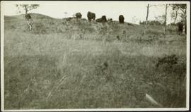
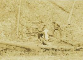
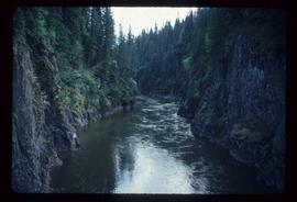
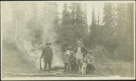
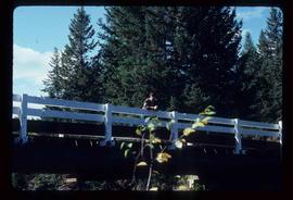
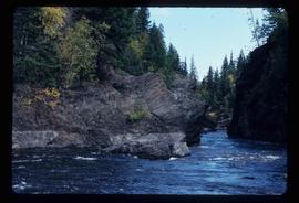
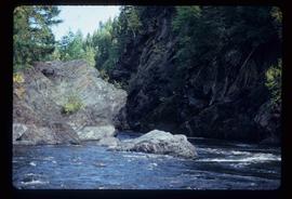
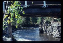
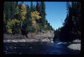
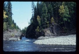
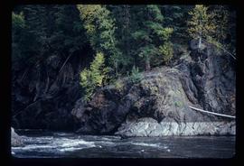
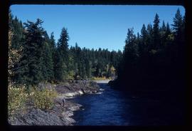
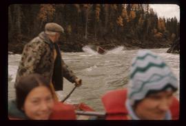
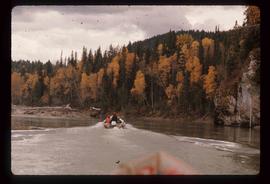
Image depicts a small group of people standing near the Bulkley River at Moricetown, B.C.
Image depicts the Bulkley River.
Photograph depicts a wooden building under construction and piles of wood planks on the shoreline.
Photograph depicts three buildings and a water tower on top of a deforested hill with water in the foreground.
Image depicts several old buildings in a field, one of which has a caved-in roof, in Newlands, B.C. Map coordinates 54°06'28.2"N 122°12'01.0"W
Image depicts numerous buildings and a dock on the shore of Haida Gwaii, B.C..
Image depicts a vehicle parked beside a small, wooden house in Upper Fraser, B.C. Map coordinates 54°07'05.7"N 121°56'38.9"W
Photograph depicts two buffalo visible by trees on horizon, field in foreground. It is believed that this photograph was given to Lillian & A.K. Bourchier by their niece Jean.
Photograph depicts group of buffaloes on horizon. Trees in midground, field in foreground. It is believed that this photograph was given to Lillian & A.K. Bourchier by their niece Jean. Location unknown; possibly Alberta as the Bourchier family moved to Alberta in 1902.
Photograph depicts Bruce Otto, a hunting guide, standing next to Prentiss Gray, who is seated on a stump skinning his prized mountain goat.
Image depicts the Bridge River No. 1 hydroelectric station on the shore of Seton Lake (rear side of powerhouse).
Image depicts the Bridge River near Lillooet, B.C.
Photograph depicts a log bridge interrupting a wide dirt road in forest. Distant hills in background. Image has been cropped to an oval shape. Handwritten annotation on verso of photograph: "Fort George - Hazleton Highway Near Burn's Lake".
Photograph depicts bridge built with wooden planks and poles, with triangles built into its frame. Water rapids in foreground, opposite shore in background behind bridge. This is speculated to be one of the bridges that crossed the Hagwilget Canyon on the Bulkey River since 1859, five kilometres from its confluence with the Skeena River. See items 2009.5.1.69 - 2009.5.1.71.
Image depicts a river in Tumbler Ridge, B.C. The bridge crossing it appears to be either half-missing or incomplete.
Image depicts a bridge under construction in Tumbler Ridge, B.C.
Image depicts a bridge in Prince George, B.C.
Photograph is one of 13 images printed from digital format on a CD-R featuring members of a group referred to as 'Terracites' (see item 2009.6.1.697) pictured in the gardens; see also items 2009.6.1.699 - 2009.6.1.710.
Image depicts an area of Barlone, B.C. surrounded by trees.
Image depicts what appears to be a log jam on what is possibly the Bowron River. The slide is simply labelled "Bowron Canyon."
Image depicts what is possibly the Bowron River from a bridge. The slide is simply labelled "Bowron Canyon."
Image depicts what is possibly the Bowron River. The slide is simply labelled "Bowron Canyon."
Photograph depicts men standing on shore in front of tents, forest trees in background. Photograph was taken from a boat; portion of boat and oar are visible in foreground. Handwritten annotation on recto of photograph: "View of all four tents."
Photograph depicts a landscape shot of a body of water with mountains in background and forested shore in midground.
Image depicts Bobtail Lake.
Photograph depicts four men around fireside in forest clearing. A man believed to be Bob Potts kneels on far right, next to dog. These men are believed to be members of A. K. Bourchier's crew. Handwritten annotation on recto of photograph: "The Last of a Comfortable Camp."
Photograph depicts two men standing in front of a short tent. Cooking supplies are scattered throughout campsite. Trees cross midground, and snow-covered mountains stand in background. Handwritten annotation on recto of photograph: "POTT FALLS ON REDDEER RIVER. A Plate of Beans before Lunch. ON THE RIGHT Bob - Potts. Sampling his own Cooking."
Photograph depicts six men around fireside in forest, trees felled on either side. Bob Potts sits on far right, next to dog in foreground. These men are believed to be members of A. K. Bourchier's crew on the Upper Fraser River. Handwritten annotation on recto of photograph: "Preparing The miday meal. frying Bacon on sticks. Potts. Chief Chef."
Photograph depicts man believed to be Bob Baxter on bulldozer in dirt area. Men on machinery in right foreground, trees and buildings in background.
Image depicts several boats on what appears to be a river, and an old beehive burner in Penny, B.C.
Image depicts a group of people in boats, with Ray Mueller steering one of them, on the Fraser River in the Grand Canyon, B.C.
Image depicts a group of people in boats on the Fraser River in the Grand Canyon, B.C.
Image depicts a boat docked inside what appears to be a type of boathouse, possibly located in Metlakatla near Prince Rupert, B.C.
Image depicts a riverboat on the Fraser River, possibly in Longworth, B.C.
Image depicts a boat launch with several people nearby; it is possibly at War Lake in Carp Lake Provincial Park.
Image depicts a boat launch; it is possibly at War Lake in Carp Lake Provincial Park.
Image depicts an abandoned cabin and shed on Blackwater Road.
Image depicts a bridge over Blackwater River, with an unknown individual standing on it.
Image depicts Blackwater River, B.C.
Image depicts the Blackwater River.
Image depicts Blackwater River.